Last Updated: 21st Sep 2023
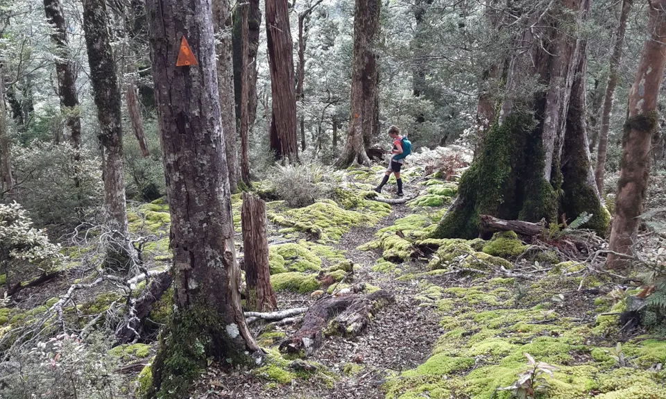
Ngamoko Range Traverse
Last Updated: 21st Sep 2023
Open
Grunt Factor: 78 ?
Gnarl Factor: 72 ?
32.5km
2140m
2140m
1568m

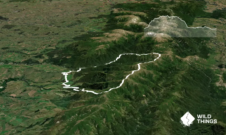
Trail Map
This Topo layer only covers NSW/ACT.
Switch to another map layer when viewing outside this area.
Switch to another map layer when viewing outside this area.


