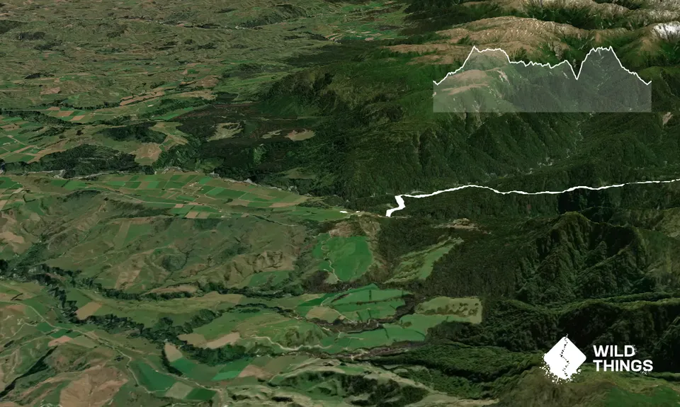
Peterson’s Road end, Alice Nash Memorial Lodge Track. The first few hundred metres will take you down a grass farm track to the bridge at the bottom over the river, which is a wooden arch type. Continue over the bridge, and you will pass the Alice Nash Hut turn off. Continue to the R) toward Tunupo.
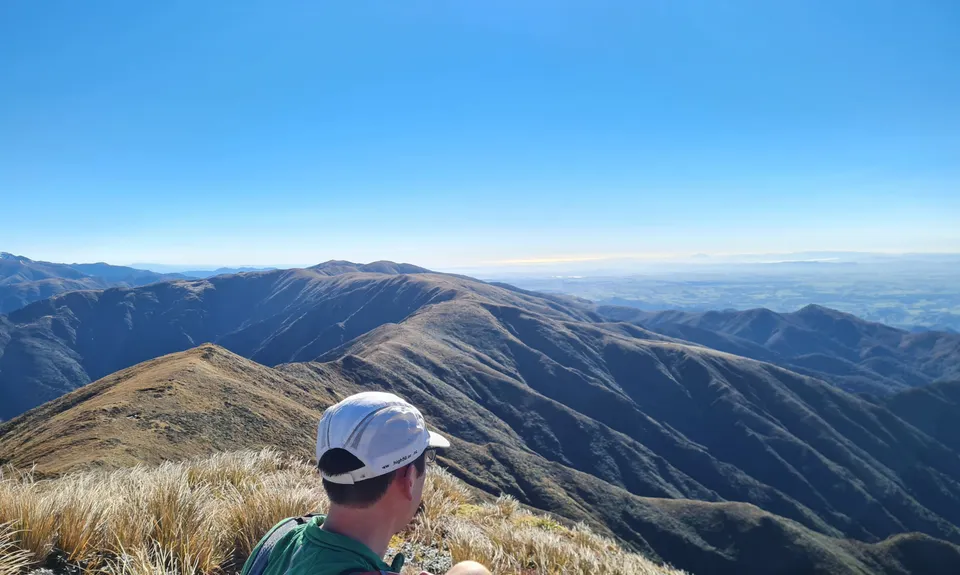
The track starts climbing gradually, with a few short periods of descent, before continuing to increase in gradient. Once out of the treeline, climbing gets steadier and you will be able to see Tunupo (1568m) in front of you. There is a small weather station at the top. Approx 1000m climbing to here.
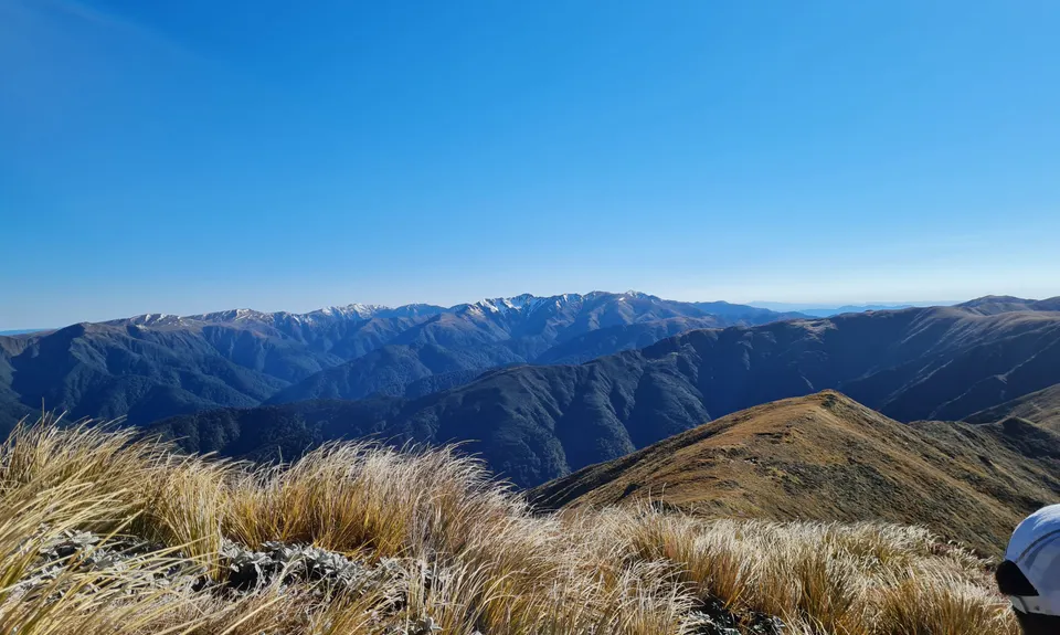
Turn L) and continue down the ridgeline. This can be considered generally runnable. The trail is relatively clear to spot, any issues keep an eye out for the traps that are maintained by Ruahine Who Protectors, these are every few hundred metres through this area. The ridge is undulating, and the first turn off will be on your right, down to Top Gorge Hut (alternate route if you want) which drops down to the Pohangina River, and then up the other side, rejoining our trip along Ruahine Ridge.
Next turn off is to the L) down to Iron Gorge Hut. Another option if wanting to avoid time on the tops due to weather, this will bring you back down to Alice Nash in a loop. Our aim is Otumore (1519m) on the R) which will take you down to Pohangina Saddle. This can be quite steep and slippery in places, some hidden puddles can be knee deep. Drop down to the saddle (~1150m) which is the start of the Pohangina River.
The track now bears toward the south. You will come across sign for the Longview Hut, this isn’t far off the track, worth a look and water refill if needed. Continue along the trail, this is now undulating, generally between 1100-1200m, sections definitely runnable. The track is well cut without any navigation issues. About half way along you will hit the turn off down to Makaretu Hut, you will continue along toward Leon Kinvig. There is a 2nd turn off on the L) to Makaretu Hut, and the 3rd turn off (1232m) is to Ngamoko Road end. After passing the last turn off, the track starts to descend and turn back slightly to get into the descent to Leon Kinvig Hut.
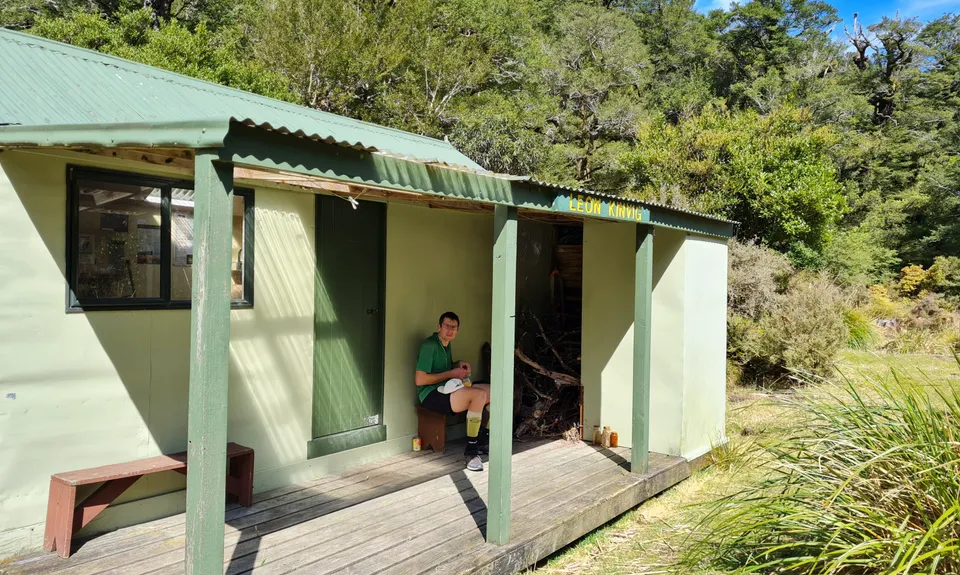
The traps change to Good Nature traps through here. The descent starts gradually and then is quite steep dropping you from 1100m to approx. 780m. Leon Kinvig hut is right on the Pohangina River, great place for a break, refill water and go Whio spotting. The track continues across the river, slightly upstream from the hut. There is a large orange triangle 10 metres up the hill.
The track begins very steeply and continues in the same fashion, with steady steep climbing out of the valley. The track softens a bit from 1200m, but continues relentlessly upward toward Toka (1519m). From the top of Toka there are 2 options – you can bail out by going L) and dropping down Knight’s track, which will bring you down to Limestone Road – approx. 3-4km back along gravel roads to your Peterson’s road carpark. However we will continue back to Tunupo.
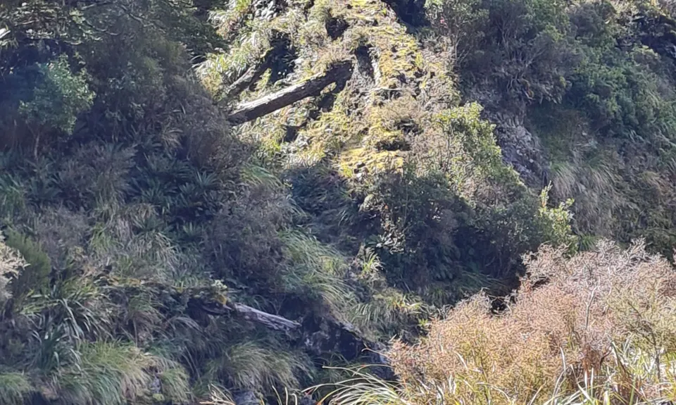
From Toka, heading back toward the north, there is still a lot of climbing to go, before hitting Tunupo. The track from Toka to Tunupo isn’t marked, and there is obvious footpad in some places, others you are choosing your own path. The tussock, leatherwood and other fauna is all relatively short through here, so isn’t really a problem, but a lot of parts aren’t easily runnable. After the first major ‘bump’ there is track down to Toka Biv if needed, on your R). There is another short climb upto pt 1547, before you can see Tunupo directly in front.
As you descend to start the last climb out, you will see the rock monolith in front of you. The trail goes straight up this. As you get closer, you will see some small ‘steps’ and a path open up above you that isn’t necessarily obvious at first glance. Start heading up, taking care, using the rock and leatherwood for support, and you will continue to see where you should be going. The 2nd rock face is a lot easier and then you are summiting Tunupo for the 2nd time today.
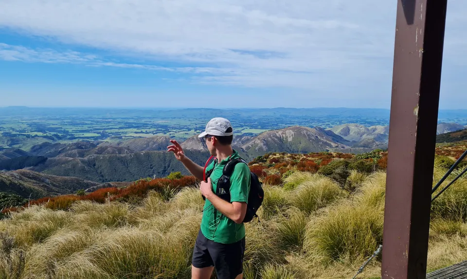
Soak in the last of the views, and start back down the track, is around 8km back to the carpark, returning on the same track you came up. If you are doing recce of the route for a C-L Traverse, the relevant part is Otumore to Toka via Tunupo. Job done.