Last Updated: 10th Mar 2026
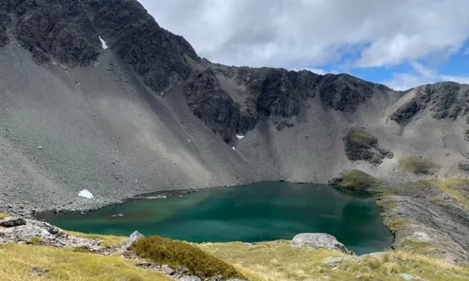
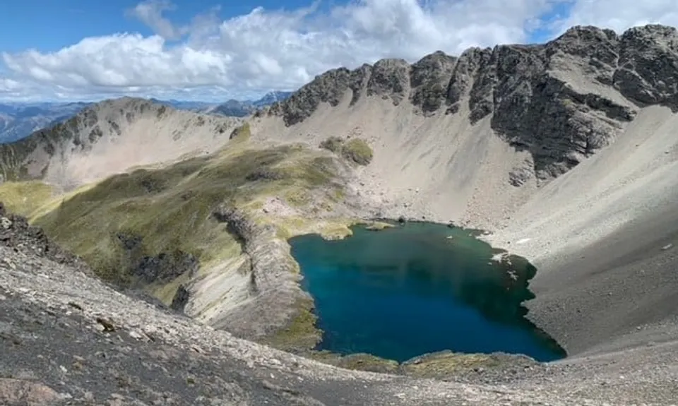
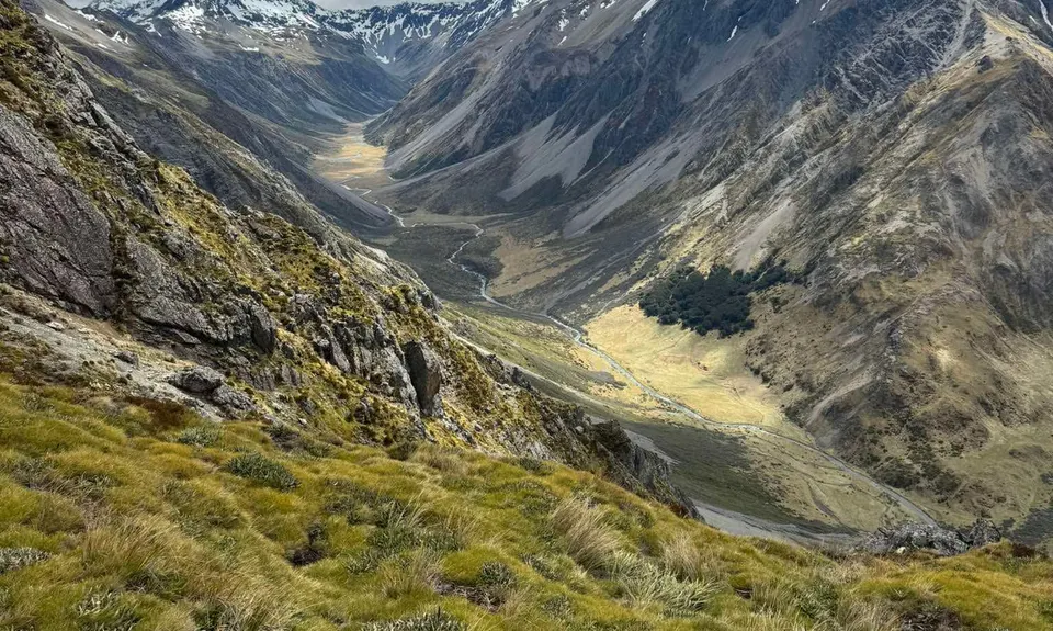
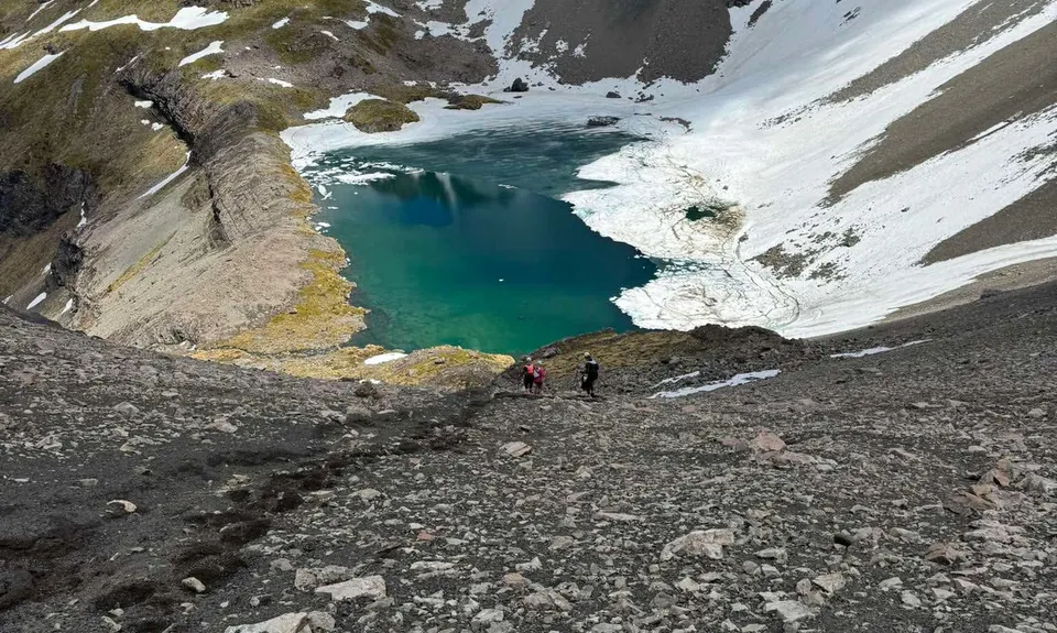
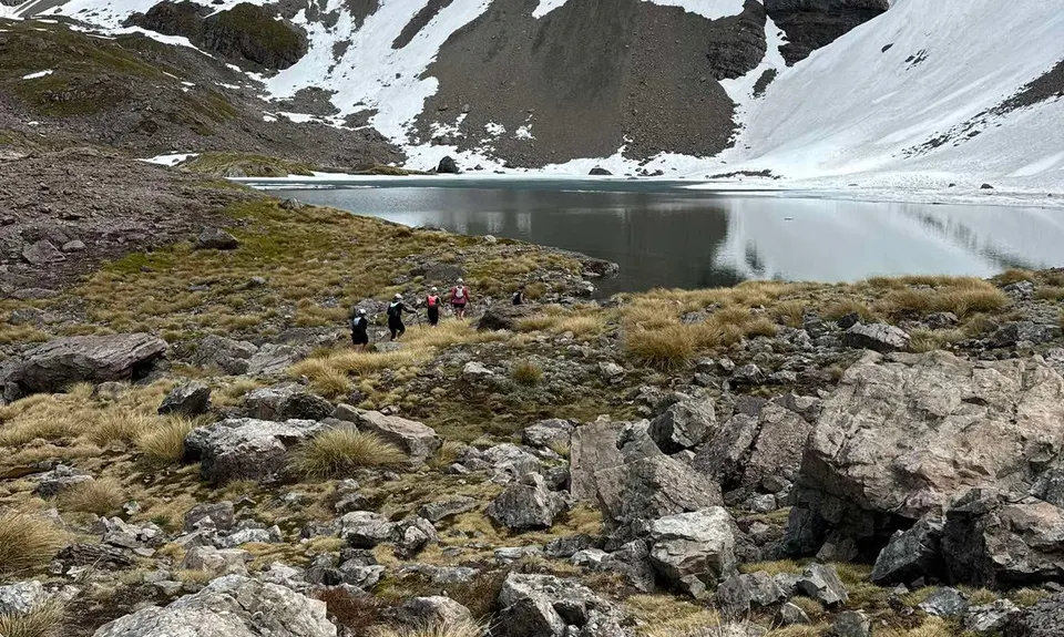
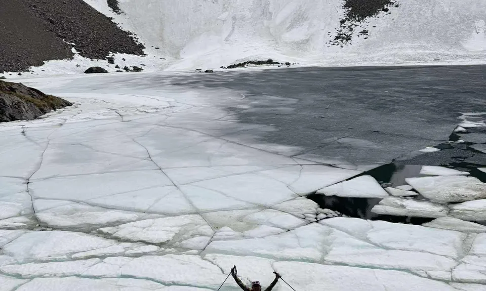
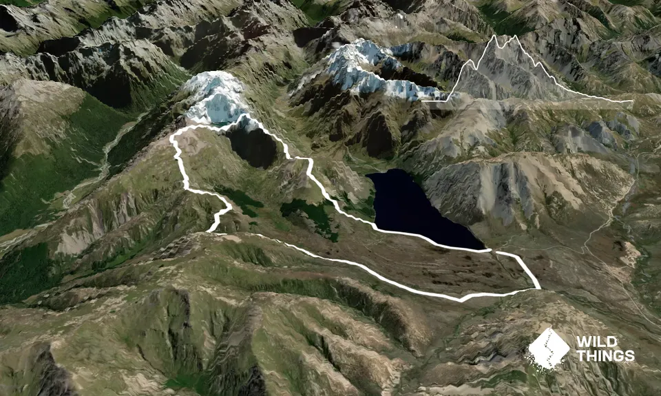
Princess Bath
Princess Bath
Last Updated: 10th Mar 2026
Open
Grunt Factor: 48 ?
Gnarl Factor: 69 ?
16.7km
1215m
1215m
Trail Map
This Topo layer only covers NSW/ACT.
Switch to another map layer when viewing outside this area.
Switch to another map layer when viewing outside this area.


