Last Updated: 21st Sep 2023
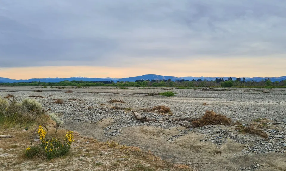
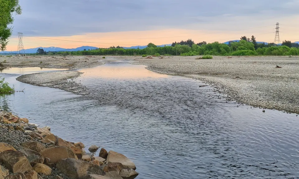
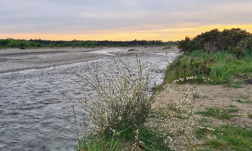
Rakahuri Ashley Bloomfield
Last Updated: 21st Sep 2023
Open
Grunt Factor: 7 ?
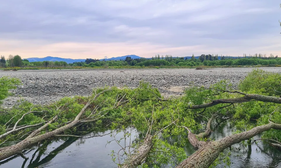
Gnarl Factor: 9 ?
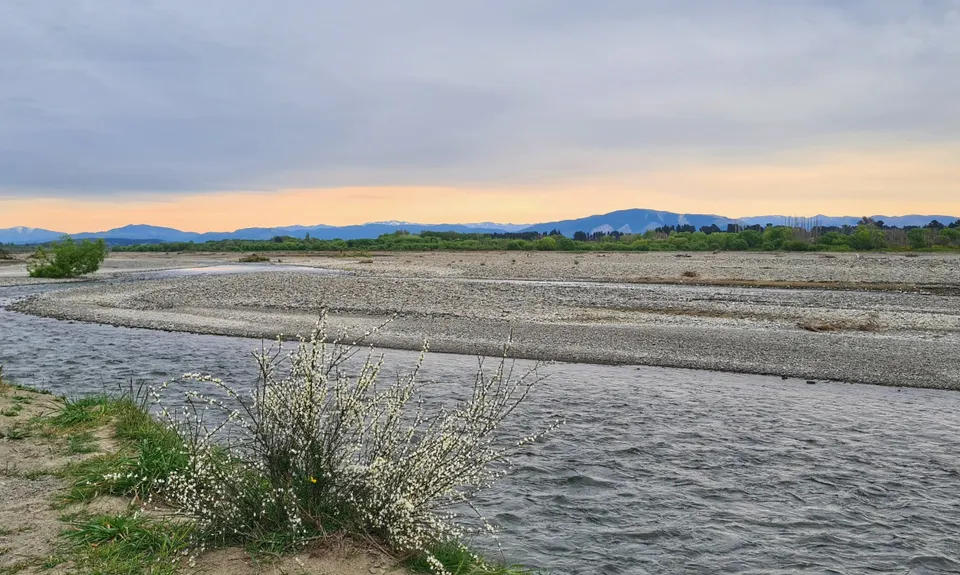
8.5km
35m
35m
60m
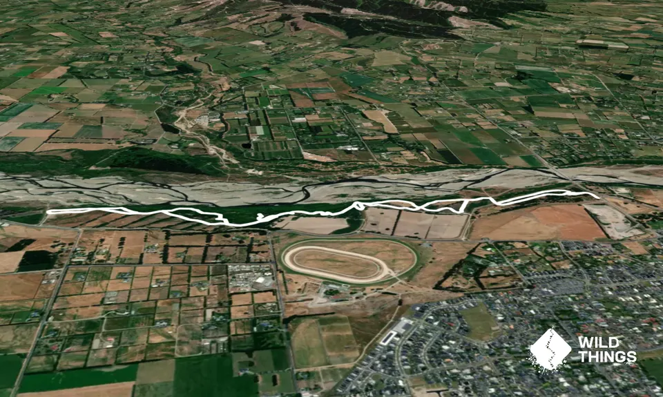
Trail Map
This Topo layer only covers NSW/ACT.
Switch to another map layer when viewing outside this area.
Switch to another map layer when viewing outside this area.