Last Updated: 10th Oct 2025
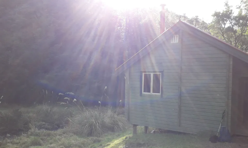
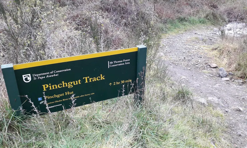
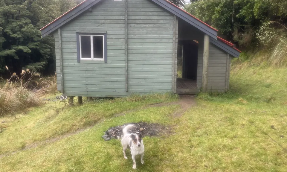
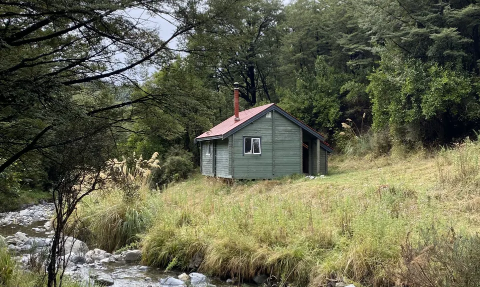
Pinchgut Hut
Last Updated: 10th Oct 2025
Grunt Factor: 15 ?
Gnarl Factor: 39 ?
12.0km
220m
220m
427m
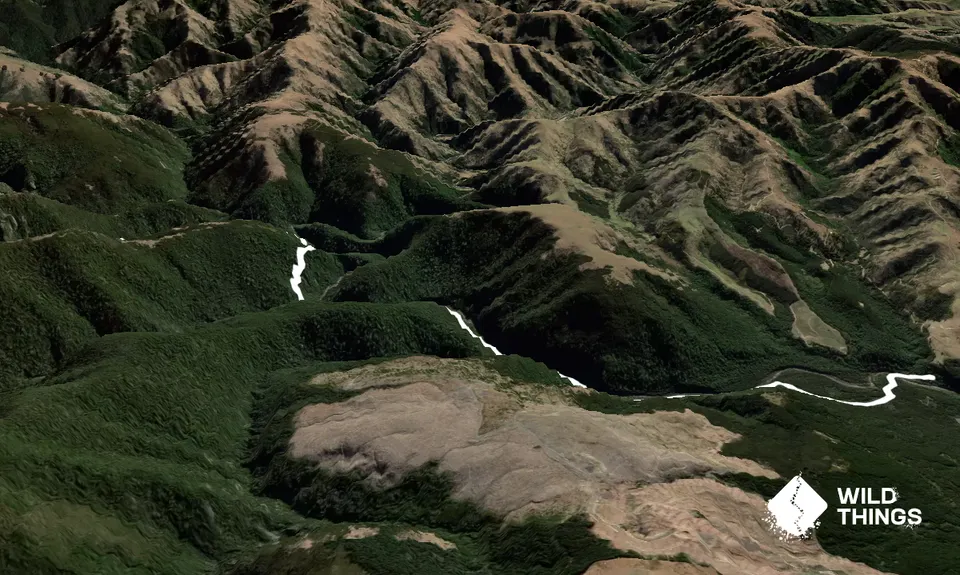
Trail Map
This Topo layer only covers NSW/ACT.
Switch to another map layer when viewing outside this area.
Switch to another map layer when viewing outside this area.


