Last Updated: 14th Oct 2025
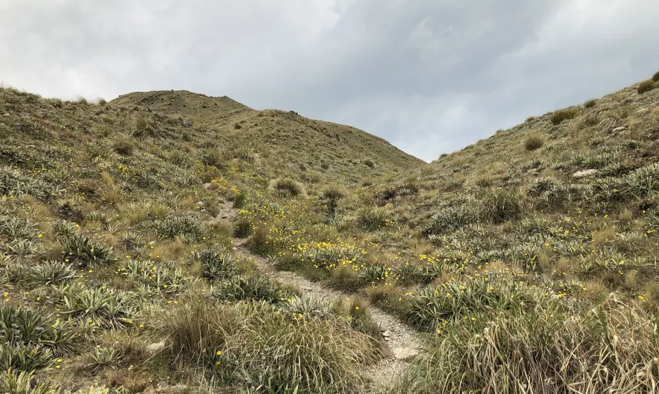
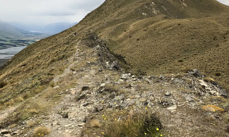
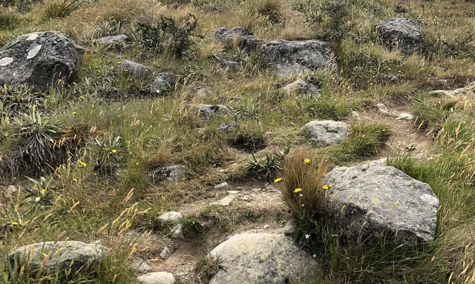
Peaking Out
Last Updated: 14th Oct 2025
Grunt Factor: 17 ?
Gnarl Factor: 56 ?
6.0km
670m
670m
1240m
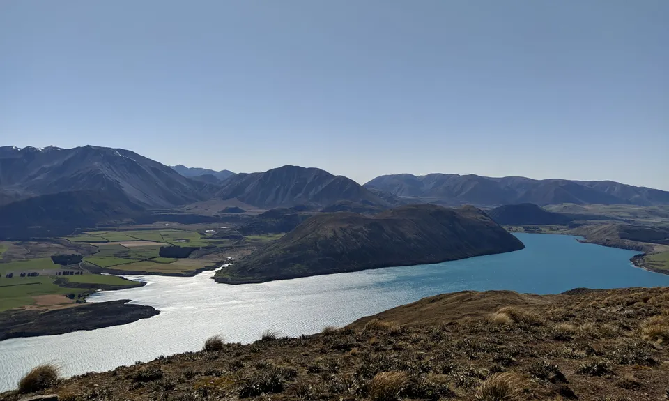
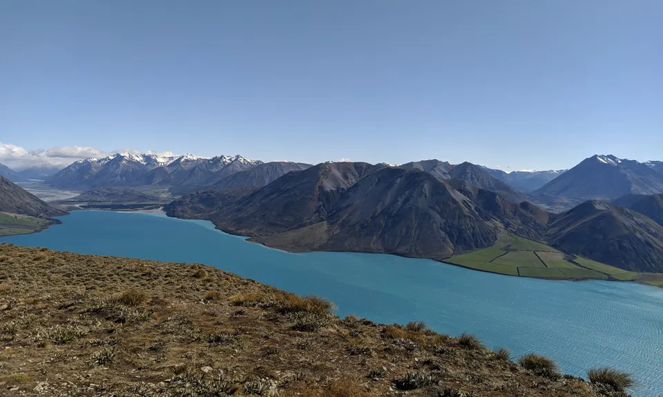
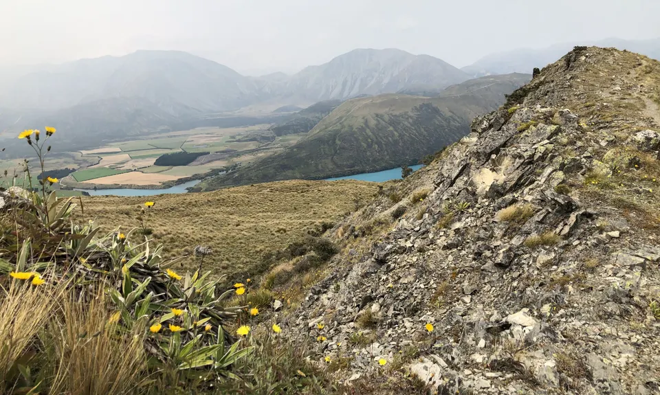
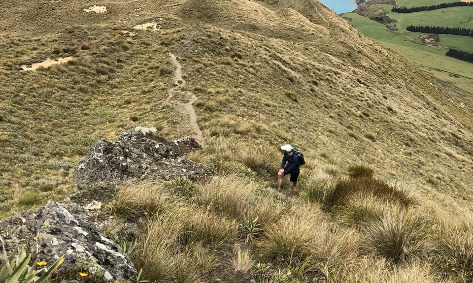
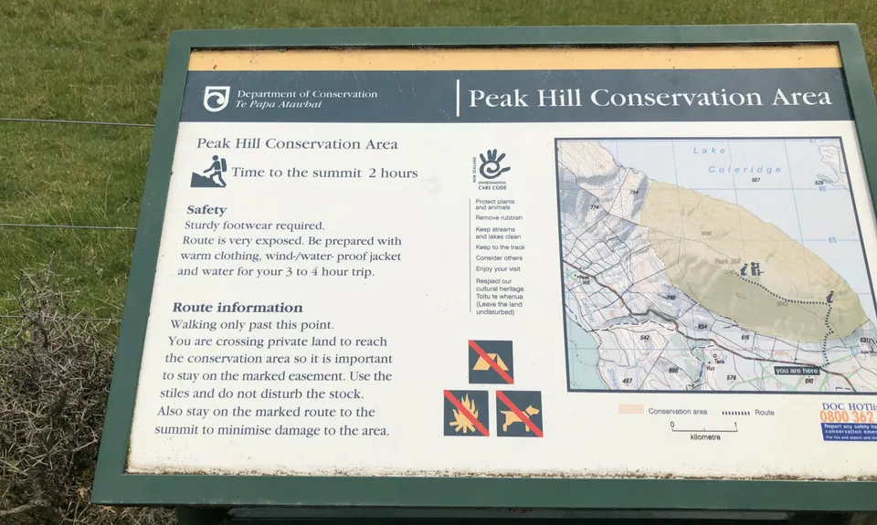

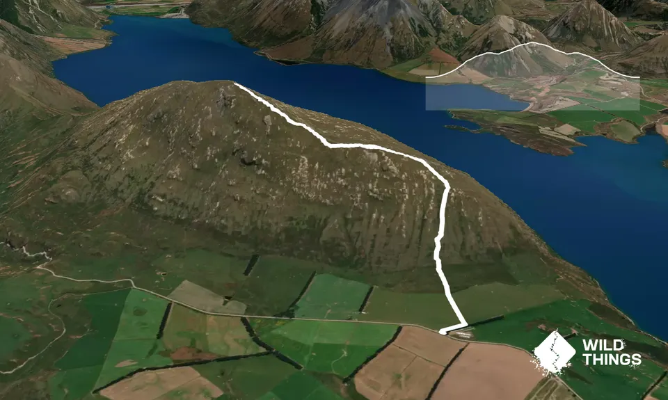
Trail Map
This Topo layer only covers NSW/ACT.
Switch to another map layer when viewing outside this area.
Switch to another map layer when viewing outside this area.


