Last Updated: 28th Feb 2026
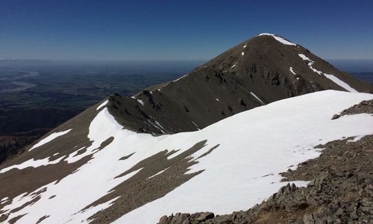
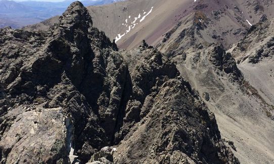
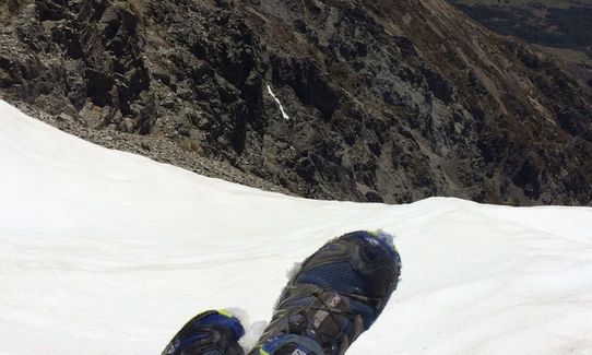
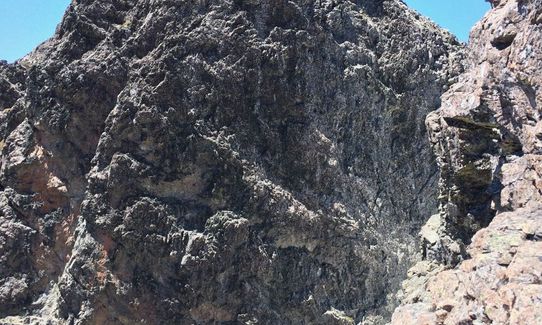
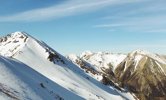
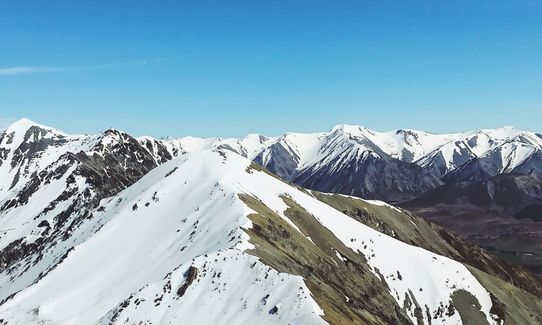
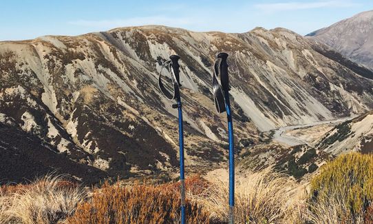
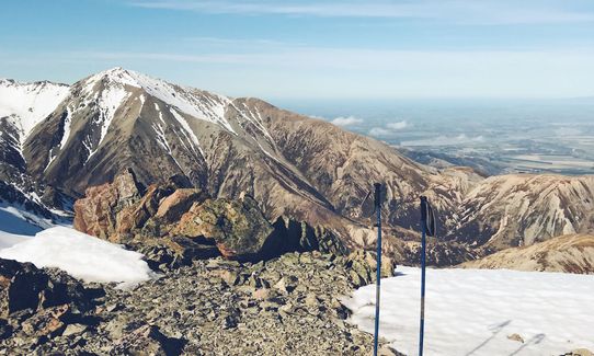
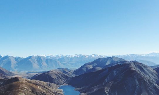
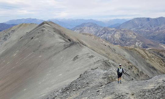
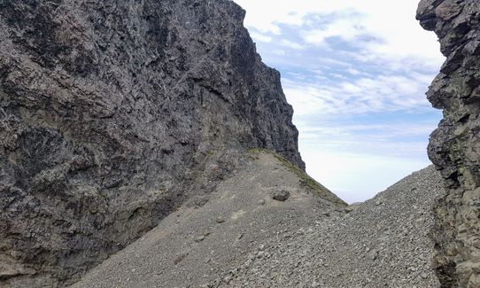
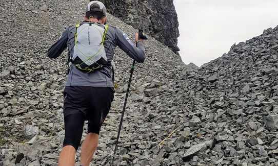
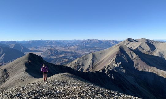
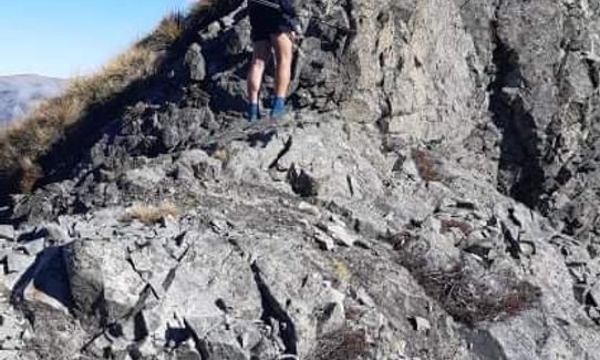
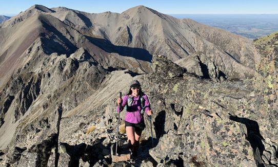
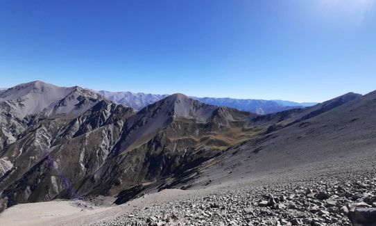
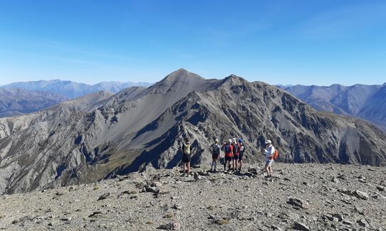
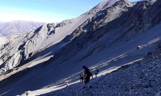
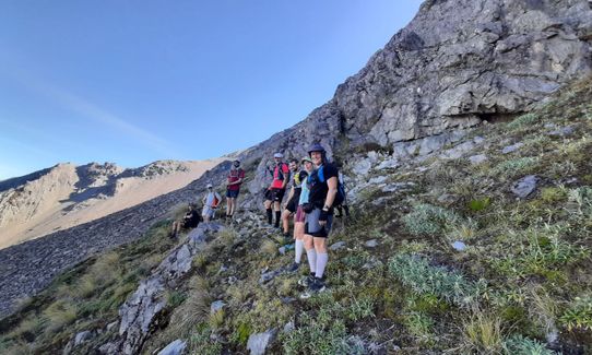
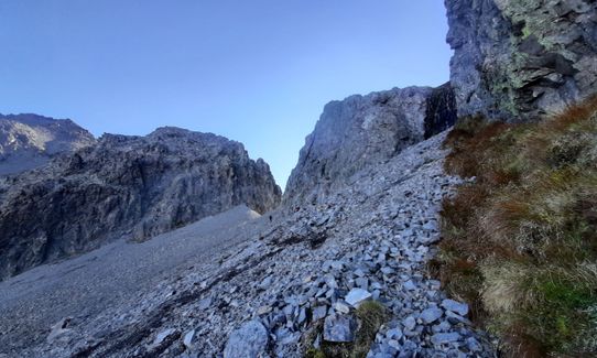
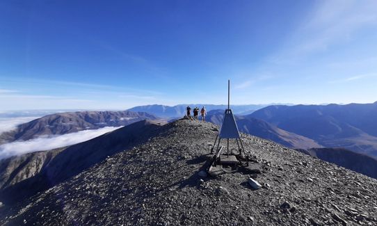
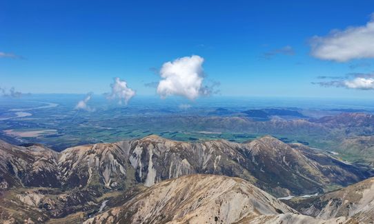
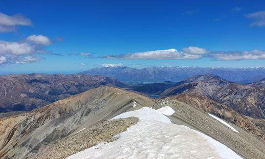
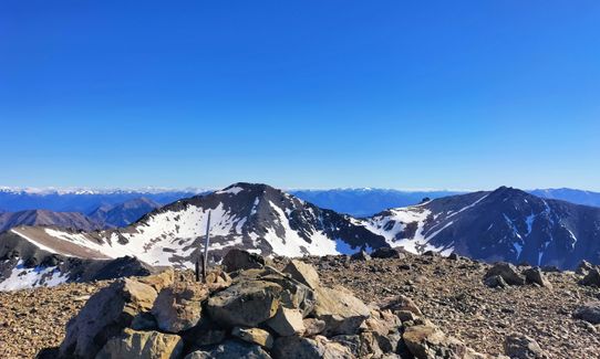
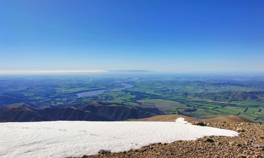
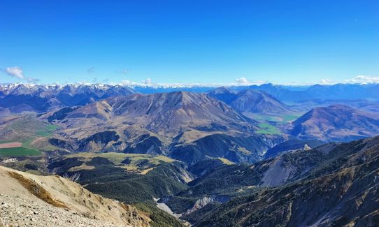
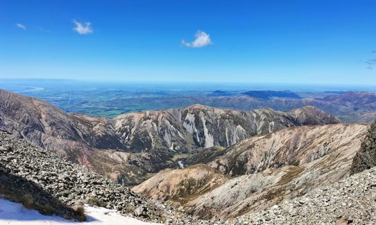
Torlesse Traverse
Last Updated: 28th Feb 2026
Open
Grunt Factor: 62 ?
Gnarl Factor: 86 ?
20.0km
2120m
1800m
1998m


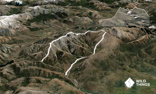
Trail Map
This Topo layer only covers NSW/ACT.
Switch to another map layer when viewing outside this area.
Switch to another map layer when viewing outside this area.


