Last Updated: 19th Dec 2024
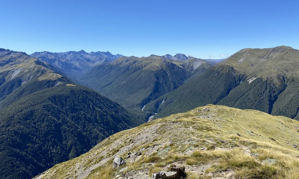
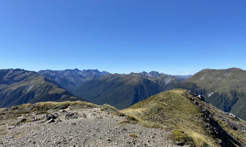
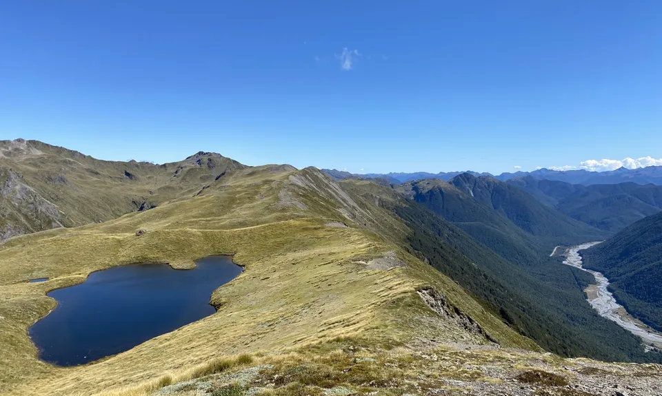
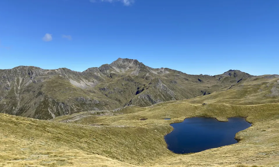
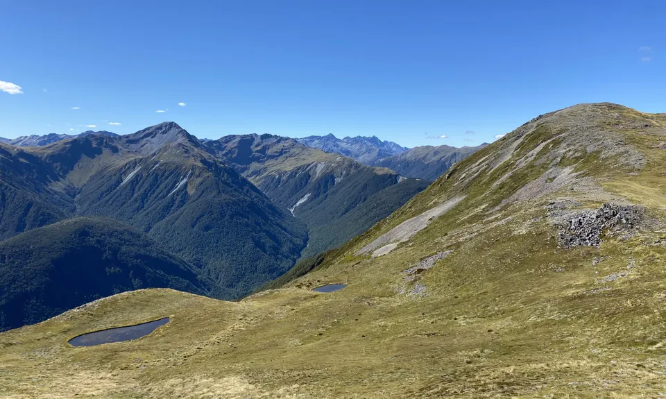
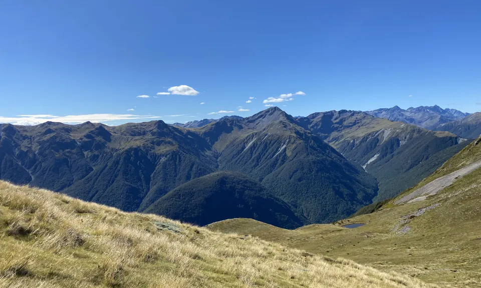
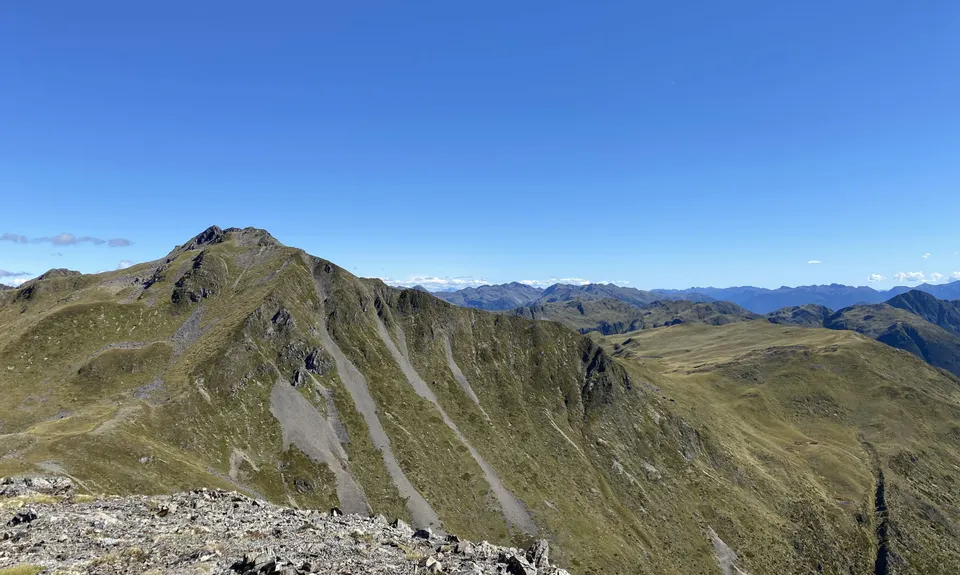
Lewis Tarns
Last Updated: 19th Dec 2024
Open
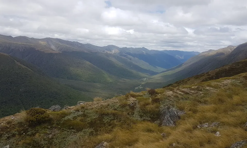
Grunt Factor: 41 ?
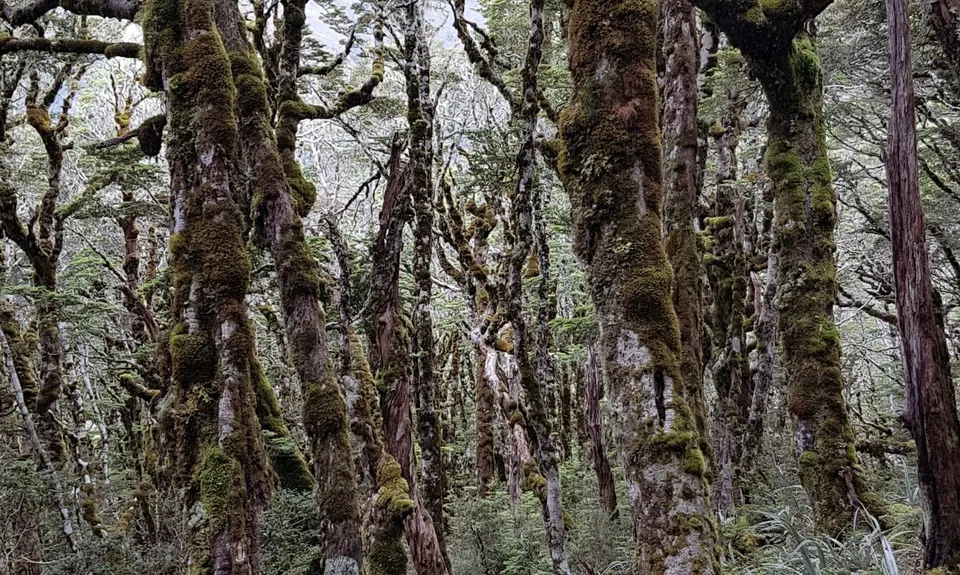
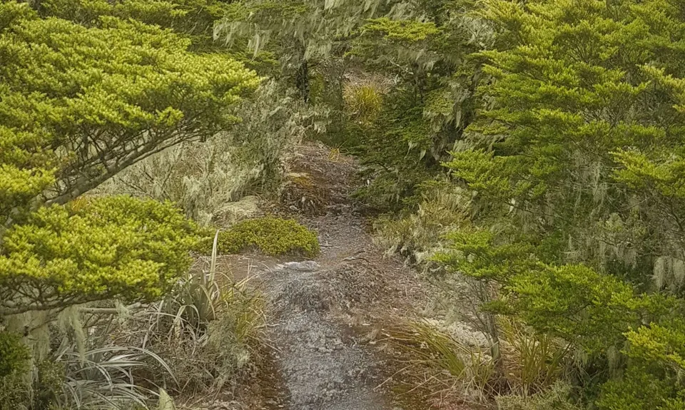
Gnarl Factor: 99 ?
11.5km
894m
894m
1563m


Trail Map
This Topo layer only covers NSW/ACT.
Switch to another map layer when viewing outside this area.
Switch to another map layer when viewing outside this area.


