Last Updated: 28th Apr 2025
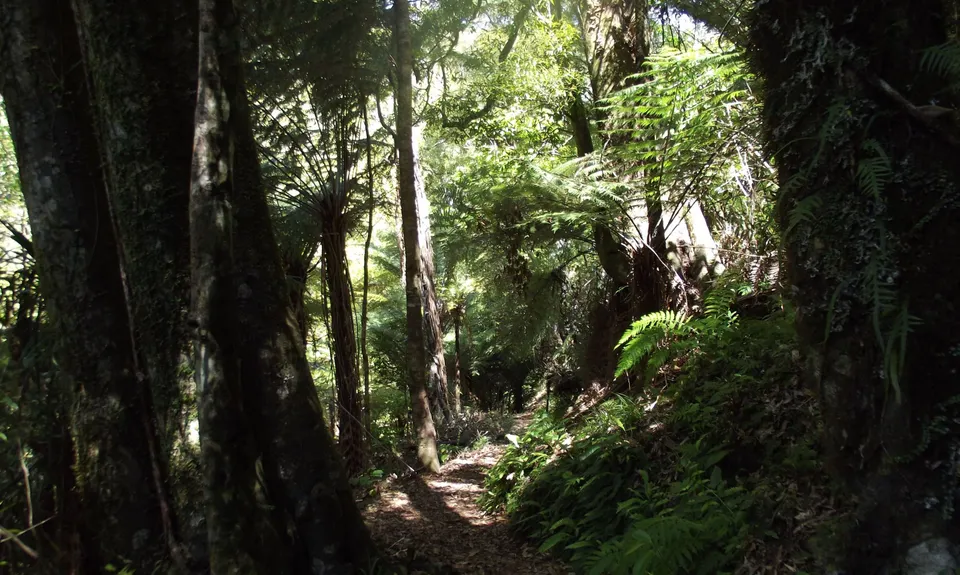
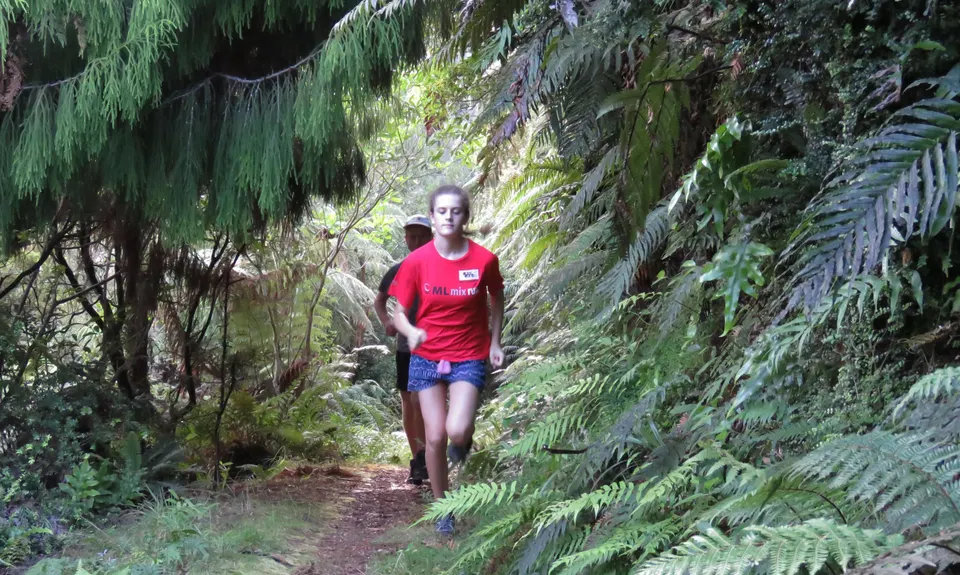
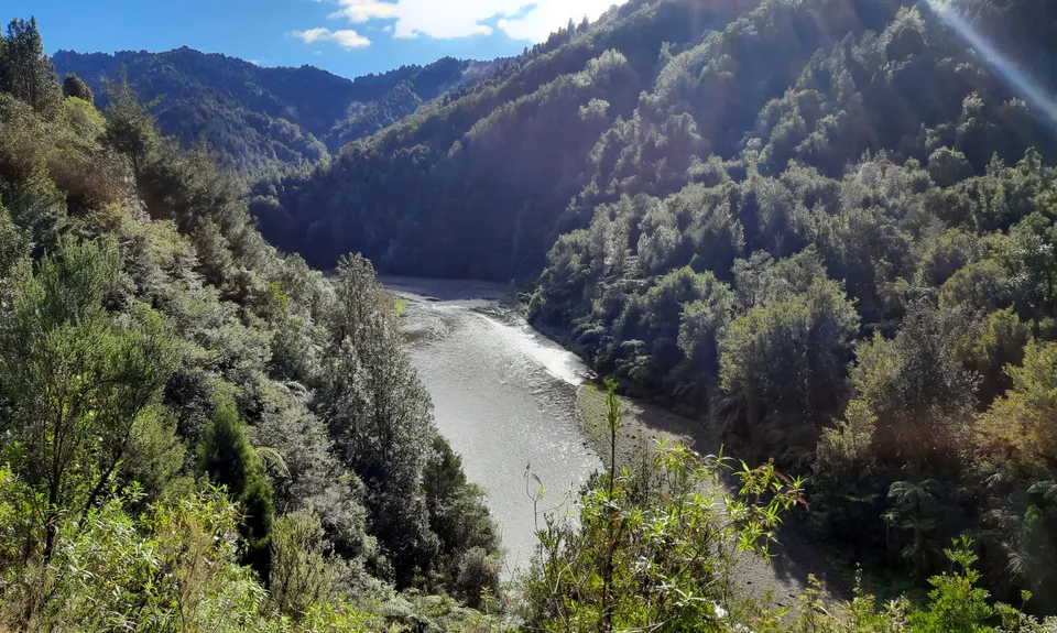
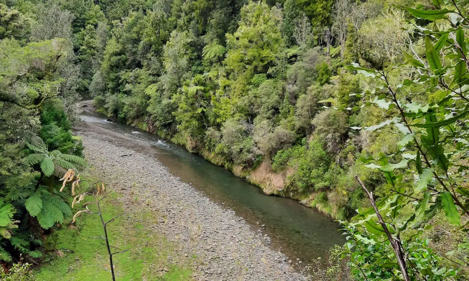
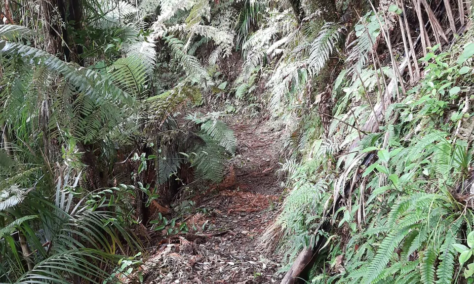
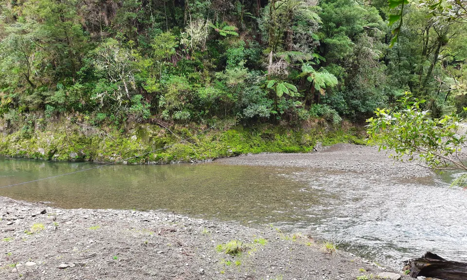
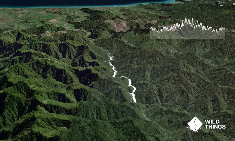
Te Waiti Track
Last Updated: 28th Apr 2025
Open
Grunt Factor: 23 ?
Gnarl Factor: 24 ?
12.9km
250m
250m
125m


Trail Map
This Topo layer only covers NSW/ACT.
Switch to another map layer when viewing outside this area.
Switch to another map layer when viewing outside this area.


