Last Updated: 10th Nov 2025
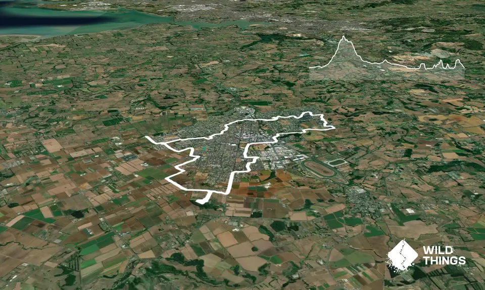
Nga Puke e Rima o Pukekohe
Last Updated: 10th Nov 2025
Open
Grunt Factor: 22 ?
Gnarl Factor: 19 ?
21.0km
460m
455m
227m

Trail Map
This Topo layer only covers NSW/ACT.
Switch to another map layer when viewing outside this area.
Switch to another map layer when viewing outside this area.


