Last Updated: 6th Jan 2024
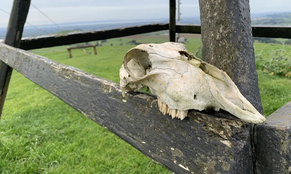
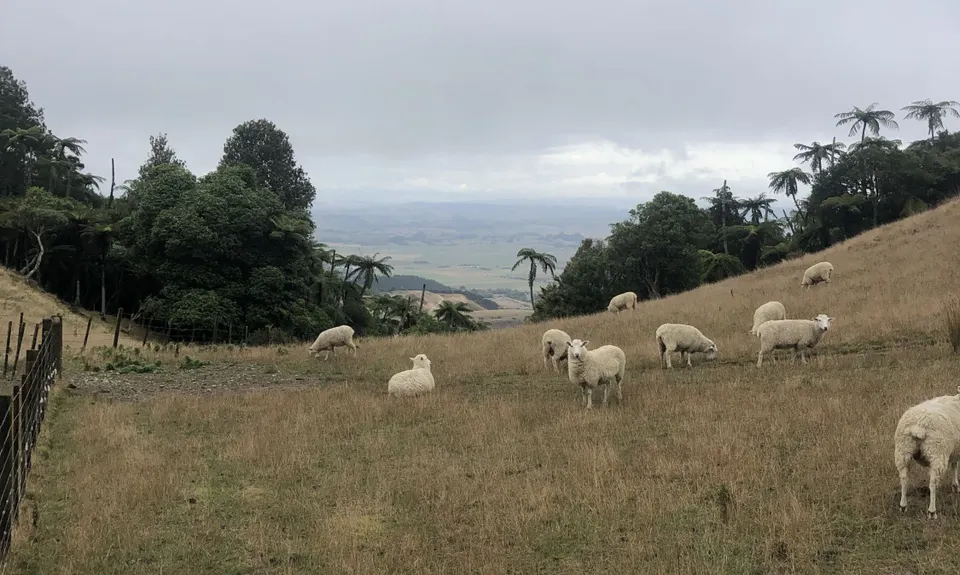
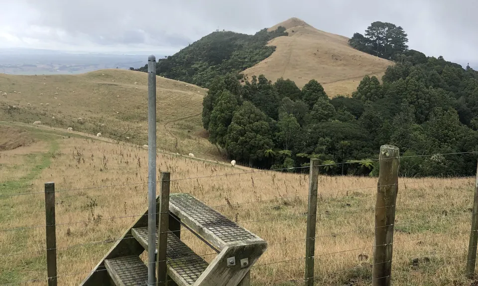
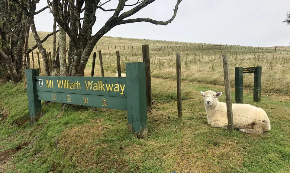
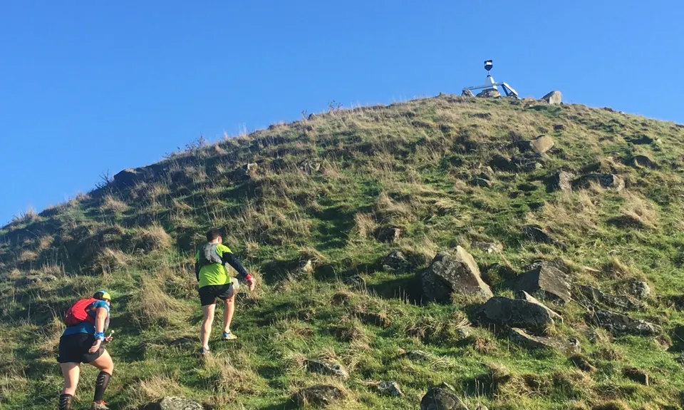
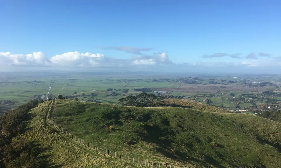
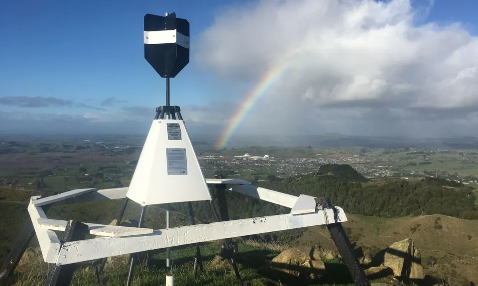
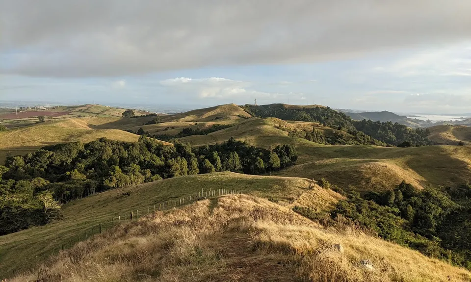
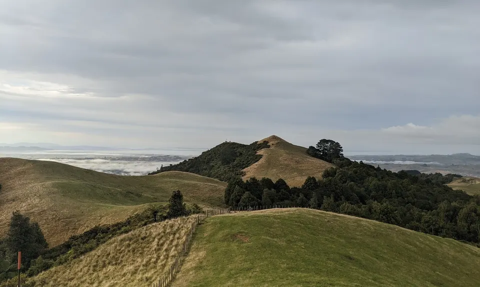
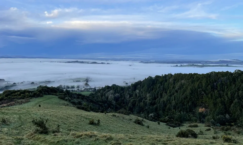
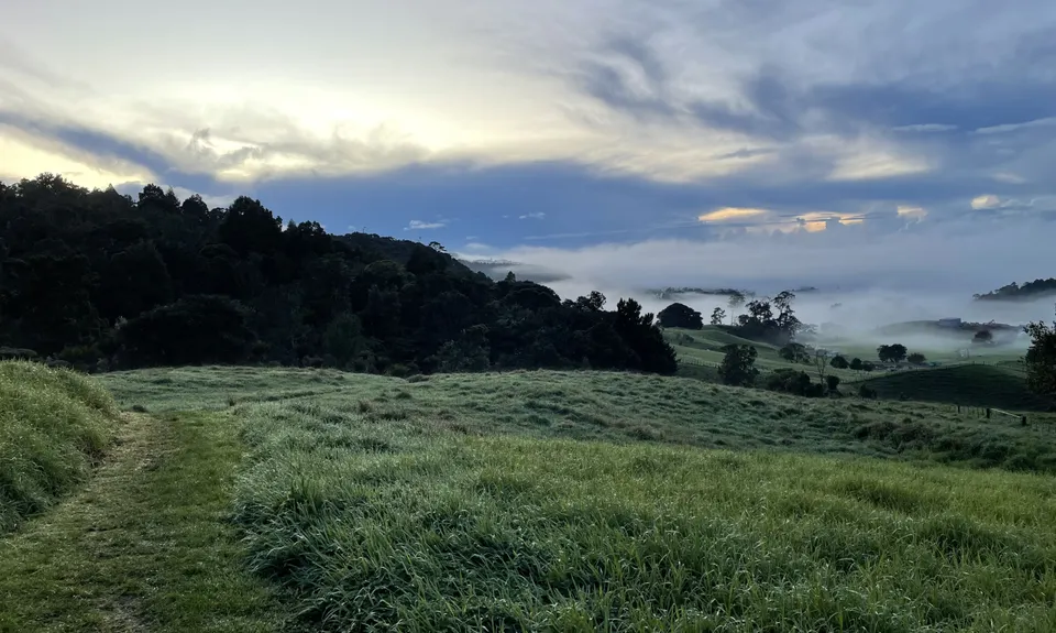
Mt William Wacky Walkway
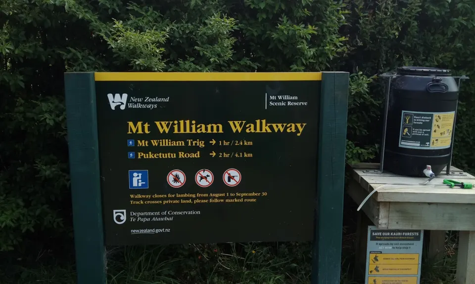
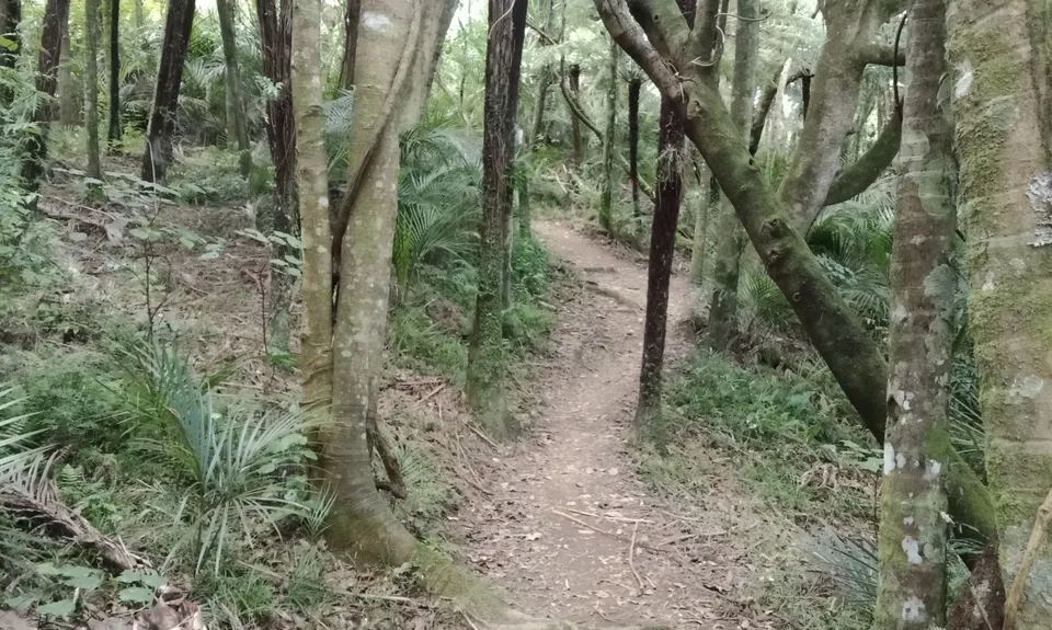
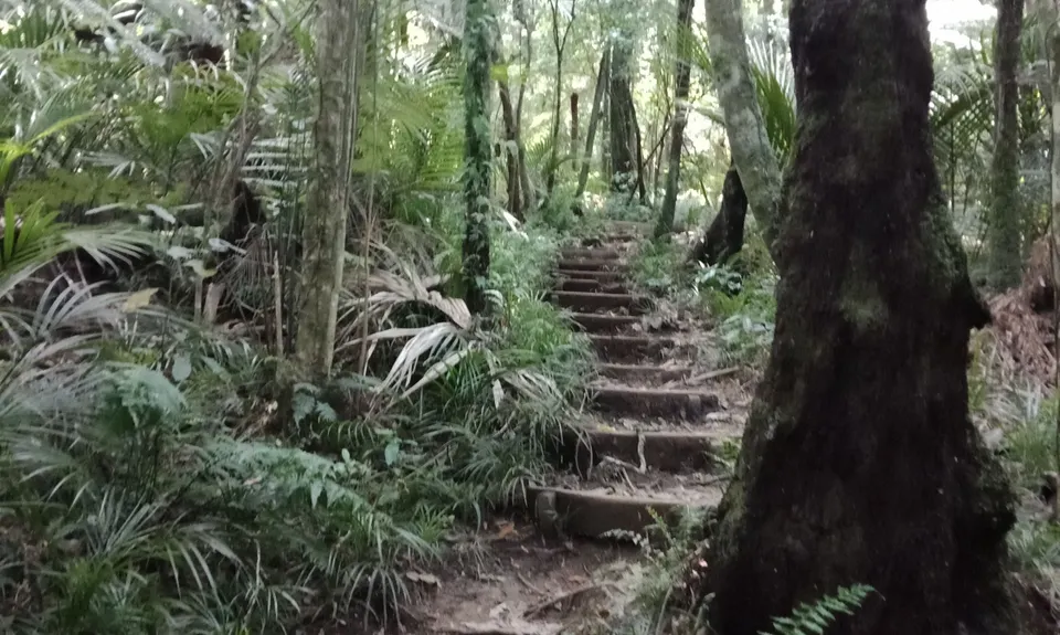
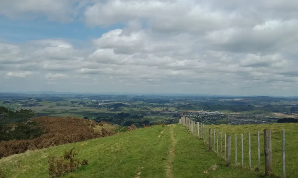
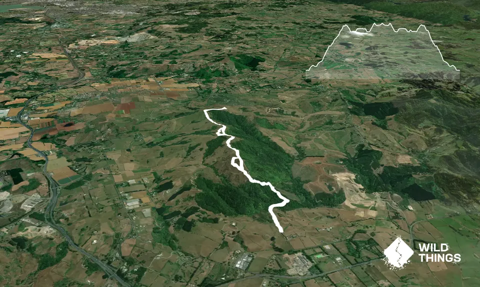
Mt William Walkway
Last Updated: 6th Jan 2024
Grunt Factor: 20 ?
Gnarl Factor: 69 ?
8.7km
540m
540m
382m


Trail Map
This Topo layer only covers NSW/ACT.
Switch to another map layer when viewing outside this area.
Switch to another map layer when viewing outside this area.


