Last Updated: 25th Apr 2024
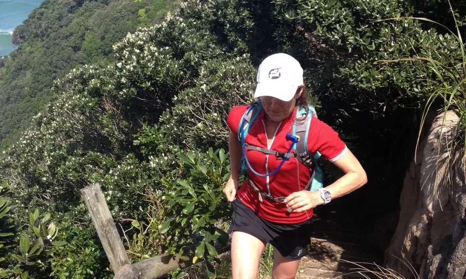
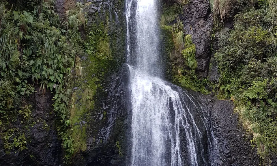
Piha Surf & Bush
Maungaroa
Piha Valley Track, Centennial Track, McElwain Lookout Track, Quarry Track, Maungaroa Ridge Track, Maungaroa Lookout Track, White Track, Rose Track, Kitekite Track
Last Updated: 25th Apr 2024
Closed More info
Grunt Factor: 30 ?
Gnarl Factor: 39 ?
20.6km
850m
850m
365m
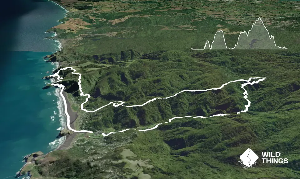
Trail Map
This Topo layer only covers NSW/ACT.
Switch to another map layer when viewing outside this area.
Switch to another map layer when viewing outside this area.


