Last Updated: 21st Sep 2023
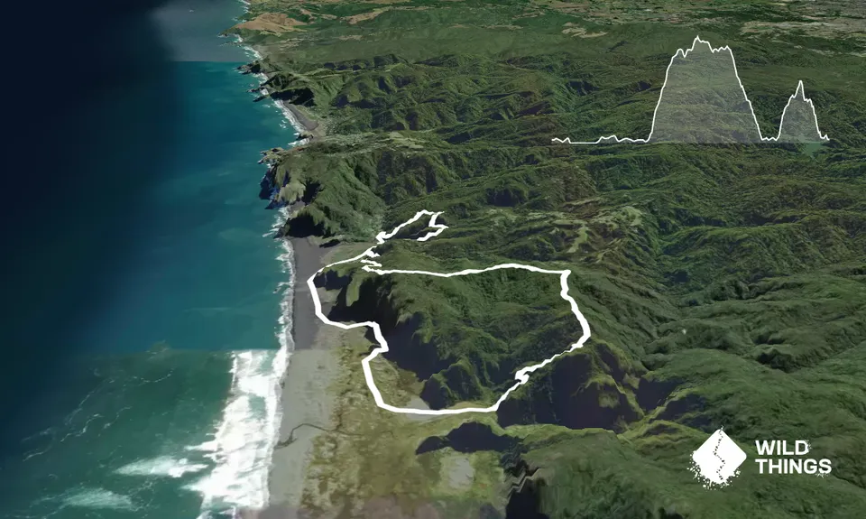
Karekare 'Little & Large'
Last Updated: 21st Sep 2023
Closed More info
Grunt Factor: 21 ?
Gnarl Factor: 54 ?
12.1km
550m
550m
300m

Trail Map
This Topo layer only covers NSW/ACT.
Switch to another map layer when viewing outside this area.
Switch to another map layer when viewing outside this area.


