Last Updated: 2nd Jan 2024

Beginner

Save Trail Save

I've done it Done

Maungarei / Mt Wellington Climb

Mount Wellington, Auckland

Submitted by Joyce Leevard

Last Updated: 2nd Jan 2024

Beginner

Save Trail Save

I've done it Done

Open

Grunt Factor: 5 ?

Gnarl Factor: 54 ?

3.8km

155m

155m

135m


Login as a VIP to see driving directions, distance and time.

Trail Map

Type of Run

Urban

Out and Back

Very hilly

Dog Friendly

Open farmlands

Volcanic

Other

Run Makeup

40%
10%
10%
40%

Sealed Road

Easy Single Track

Technical Single Track

Untracked / Route only

Average Uphill Gradient: +10.1%

Average Downhill Gradient: -10.1%

Trailhead

Login as a VIP to see the trailhead information.

Estimated Times to Run

50:00

Slow

35:00

Moderate

20:00

Fast

*In this trail write up is based on two summits.

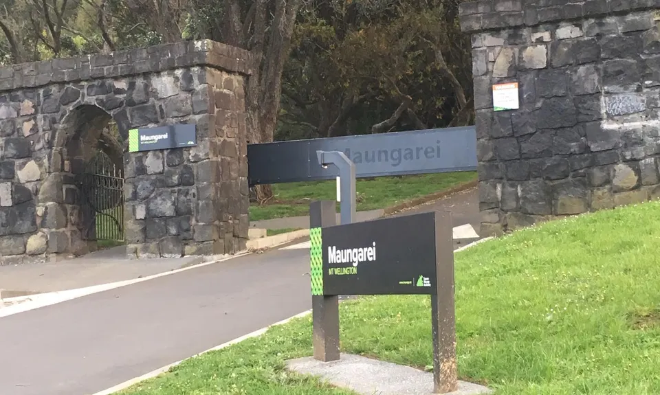
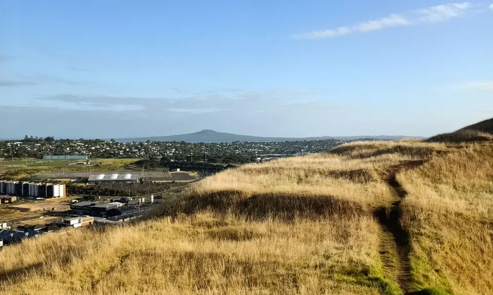
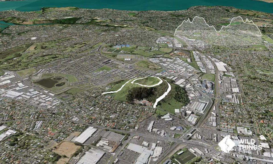
Park on Mountain Road, Mount Wellington. Enter through the small gate and follow the road up to the top. Here you will come to a little what-was-a-carpark. Head towards the end of this and head on the unmarked trail up the mountain. Although it is unmarked it is easy to follow as the only other way is down the side into the crater. This side is single track in some parts and a mix of grass and loose scoria rock.
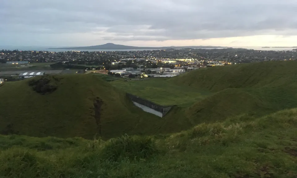
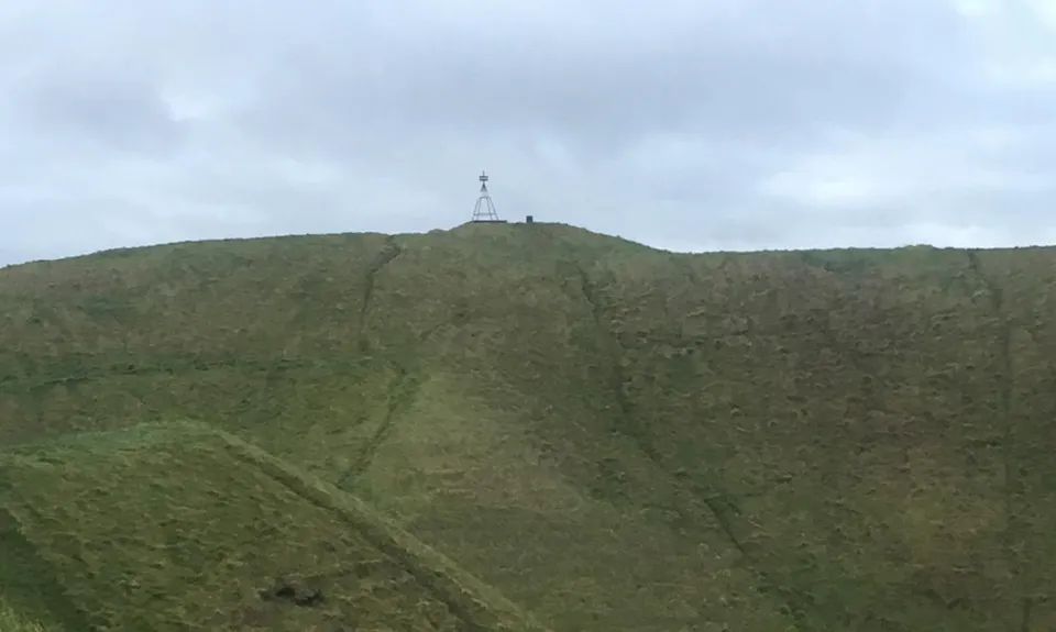
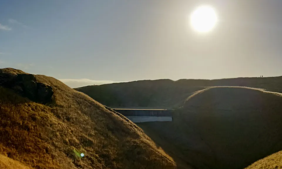
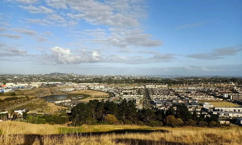
Once you get to the trig stop and take in the view. From here continue on back down the other side. Here you will get to some stairs on the decent and back to the section of old carpark. Follow the road down the opposite side to that you came up. You will get to the other entry (Gollan Road) and this point is 1.9km.

Turn around and head back up. But this time when you are at the old carpark go up via the stairs, through to the trig and down the single track/loose scoria track side and back to the old carpark. From here follow the road back down to where you parked. This is only 3.8km or thereabouts. There are many variations to this climb you can do and take the chance to explore, but do be mindful of any scared parts that might be fenced off. Head torch only needed if in the dark as there is no lighting.

Challenge: Parking area to trig (once) is only 10 minutes walking so see how many summits you can do in one session!

This trail includes the peak Maungarei/Mount Wellington.

Parking is on the road, there are street lights and next to the entry is a contractors' place for the council mowing of which they are coming and going in the early hours (provides safety for cars). You can bus to the Panmure Bus station and walk/run to the start from there as it is 1km +/-.

2 km

5 minutes

Yes

No

Easy.

If you get lost you shall win an award!

Perfect throughout.

Whistle, First aid kit, Extra food for emergencies, Cellphone, Map, Headtorch and spare batteries

Take water with you

Track can be slippery after rain

Slipping or falling over is possible, if on your own make sure you have a phone with you.

Trail Legend

LS

Lauren Smith

has completed Maungarei / Mt Wellington Climb 6 times in the last year.

Learn about Trail Legends.

You and Maungarei / Mt Wellington Climb

As a VIP member you can record private notes for this trail, see all of your times and more.

Register Now

Already have an account? Login now

Trail Reviews

Great little climb if you're in the city and want to get some trail time in.

Daniel Smart

February 8, 2021

Love a good Maunga!

Orla Drylie

January 26, 2020

Love this track! One of my favorite go to training spots especially when physio says no running, walking it keeps the fitness there. The view of Rangitoto is worth it!

Joyce Leevard

January 14, 2020

Login to submit a review

Trail Running Community

Find people who are interested in or have completed this trail run.

You must register or login to view this feature.

Register Now

Other trails nearby
My Achilles Wheel

My Achilles Wheel

Length: 9.2km

Level: Beginner - Intermediate

Find more trails and peaks nearby