Last Updated: 21st Sep 2023
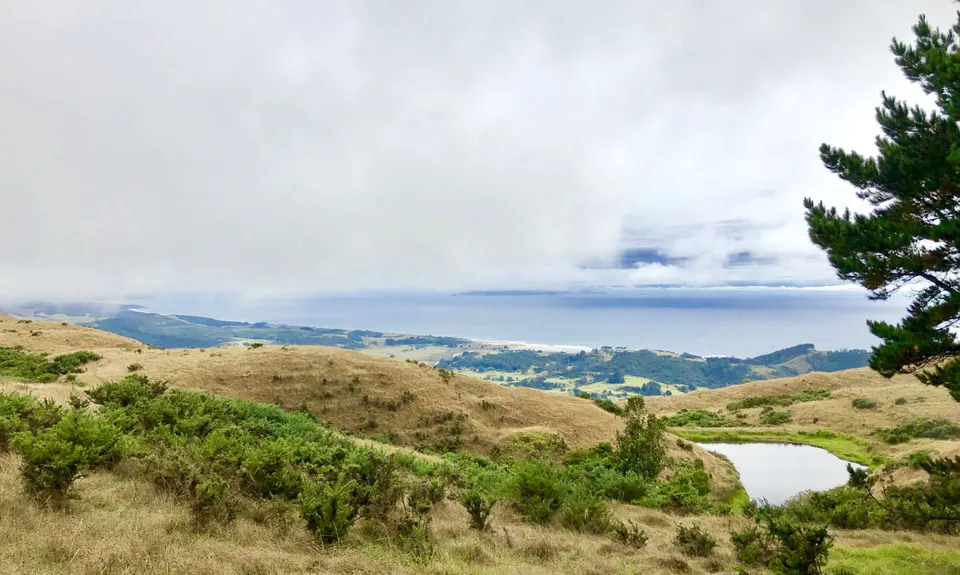
Tamahunga to Pakiri Beach
Last Updated: 21st Sep 2023
Open
Grunt Factor: 33 ?
Gnarl Factor: 65 ?
17.4km
980m
1000m
424m
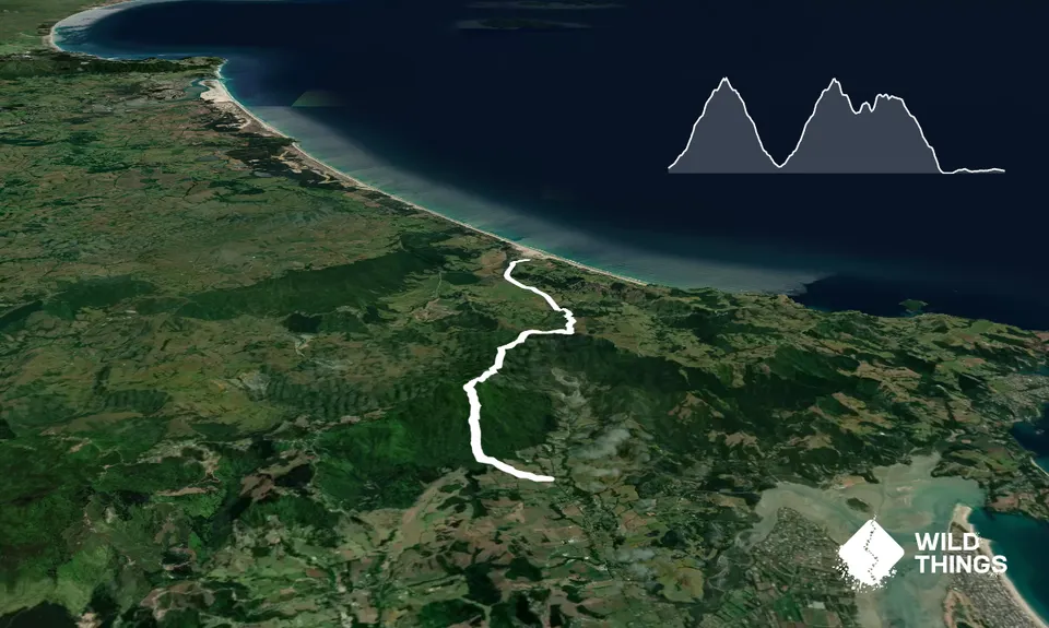
Trail Map
This Topo layer only covers NSW/ACT.
Switch to another map layer when viewing outside this area.
Switch to another map layer when viewing outside this area.


