Last Updated: 3rd Jan 2026
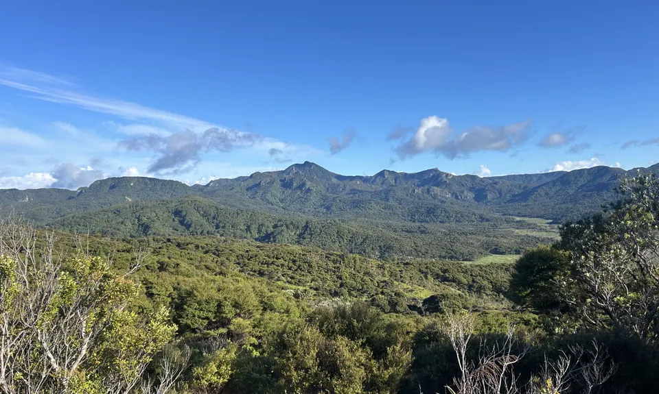
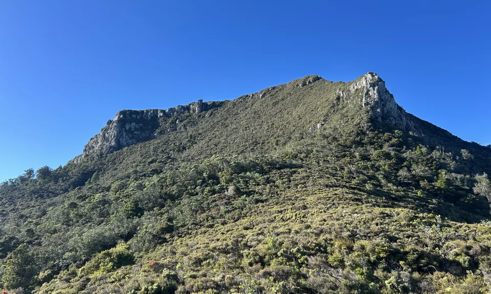
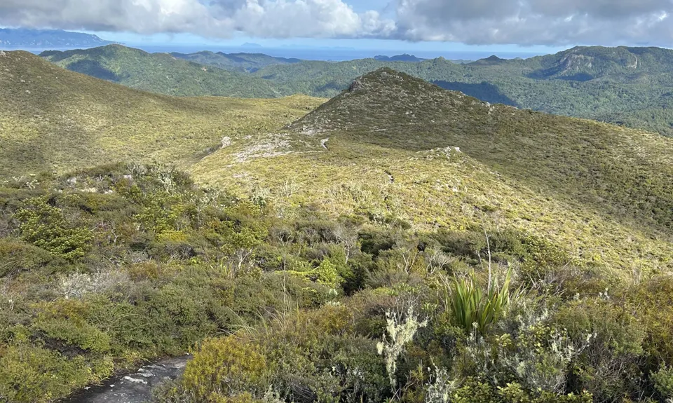
Te Ahumata Summit
Last Updated: 3rd Jan 2026
Open
Grunt Factor: 13 ?
Gnarl Factor: 26 ?
9.0km
300m
300m
398m
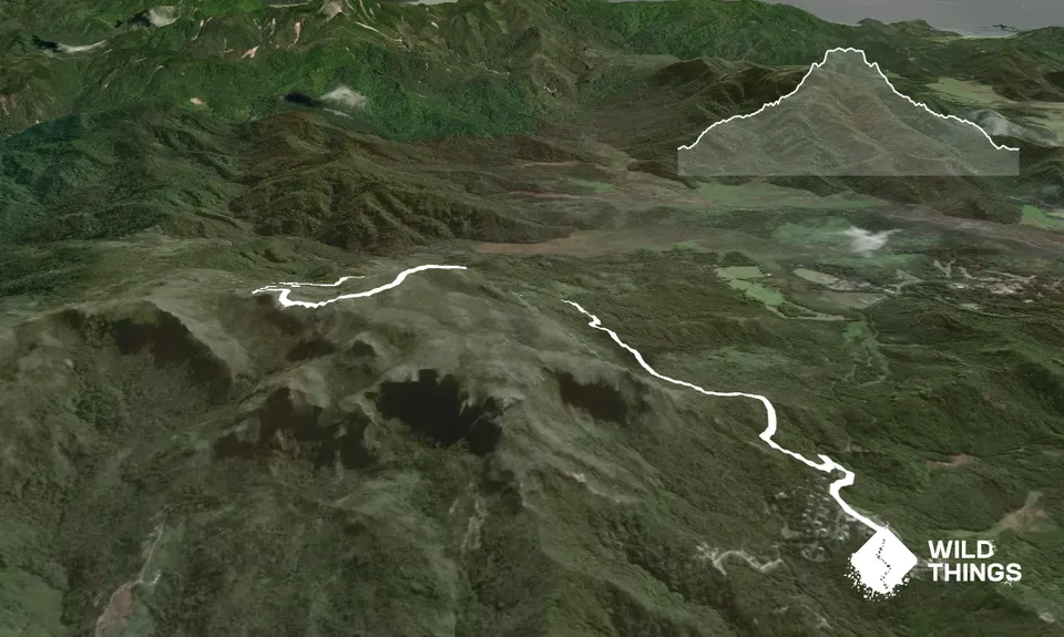
Trail Map
This Topo layer only covers NSW/ACT.
Switch to another map layer when viewing outside this area.
Switch to another map layer when viewing outside this area.


