Hakarimata Scenic Reserve Trail

Steven Blackburn
April 26, 2018 ShareIn need of something a wee bit gnarly now that the Waitakeres are closed/closing a group of us headed south from Auckland for 90 minutes to the Hakarimatas to explore a bit of trail.
First up let me tell you that the signposts and measures are woefully all over the place, so read on to get the lowdown if you are heading there for a trail run in the Hakarimata Scenic Reserve.
There are 3 entries to the Summit Track - the north end has a gravel car park on Parker Road, there's a car park at the south end on Waingaro Road and then there is a track (purportedly in the middle if you look at maps) on Brownlee Ave.
Our plan was to get dropped off at the northern Parker Road car park and run the ridge the 12kms to the Southern car park where our wonderful crew would pick us up. In the middle we'd also meet our crew who would walk up to the summit on a straight track from Brownlee Ave to meet us and then walk back down that track to drive to the end to pick us up.
The first km from Parker Road is all gravel manicured steps leading up to the Kauri Loop track, but from there on, as the crowd of visitors thins, it gets wonderfully technical. Ignore the 12 hour tramping signs and keep pushing! Between there and the summit which we clocked at around 8km from the start it's a sea of tree roots and mud. There are a couple of lovely views across the landscape to distant hills and rolling fields and rivers. We had a dry day and there's a good amount of standing mud. I can only imagine what fun this run would be in wet weather! If you love high stepping through tree roots and want a good uphill run this is for you as the trail undulates all the way to the summit at 374m.
 The summit connects with a gravel stair track to Brownlee Ave - it heads straight up (or down) the guts. Like all the signs on the track the information was sketchy to say the least and one of our crew carrying an infant and walking an 11 year old had turned around and headed back only 10 mins from the summit having come across a sign declaring they were only 1/2 way!
There's a large wooden viewing platform at the summit for some more fabulous views over the hill. Gives you a real sense of what you've just worked through. That said you will be surrounded by those lycra sorts who've just hoofed it up the hill and are complaining about bugs and the heat and nature. You will be caked in sweat and mud and feeling quite glorious - enjoy it and use any meditative tricks to keep you calm :)
Now according to signs and maps you are at the midpoint. Whaaaaaa? At over 8km? But you're not - you are well on your way home now. Heading down you are soon back on the technical stuff but you'll quickly see that this is a mix of pretty well maintained tracks or relatively easy trail compared to what you've been through. It's a wonderful fast pace down with only a few technical sections - a well deserved treat after what you've worked through in the first 2/3rds of the trail. Suddenly you pop out of the trail and you are in a paddock near a river and road. Turn left (there are no signs) to find the carpark about 250 meters away.
All up an enjoyable day had by all and some delightful track that i'll definitely be heading back to - would LOVE to do it in a storm up there in the trees. Definitely need shoes with traction and take some hydration and fuel - you'll be climbing for quite a bit of the day. Take a mate to car share or it's an out and back which would be a good whole day up on that ridge. Enjoy!
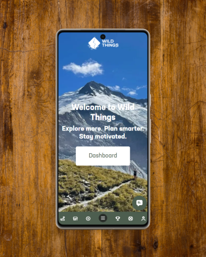
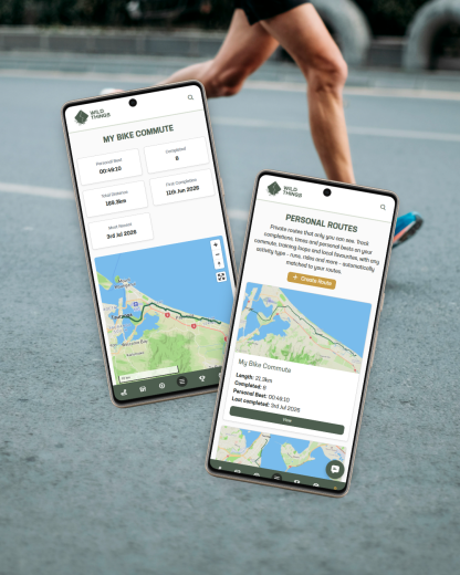
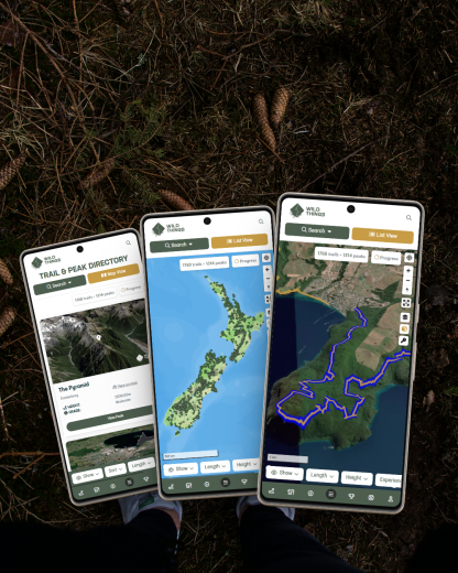
This trail report describes a run that is featured in the Wild Things Trail Directory, only run in the opposite direction. Read the Hakarimata Traverse - South to North trail guide here. Run it to earn 81 Wild Explorer Points.