Last Updated: 13th May 2024
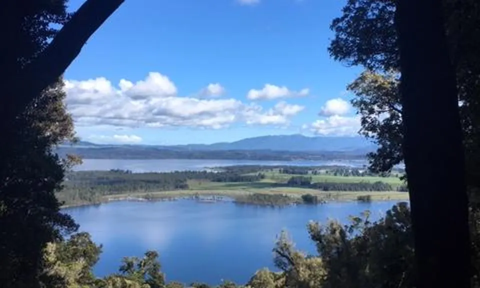
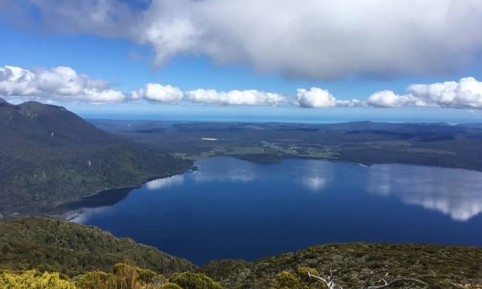
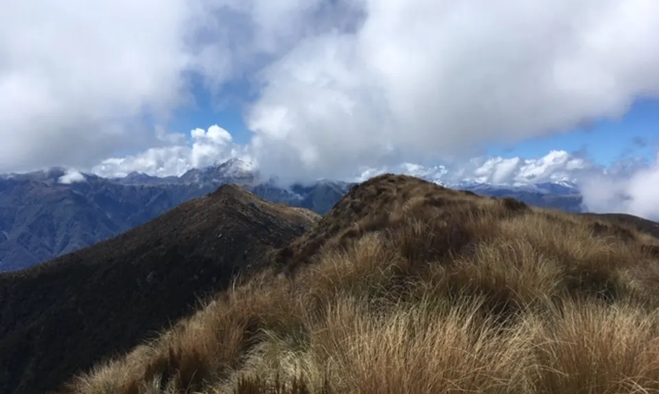
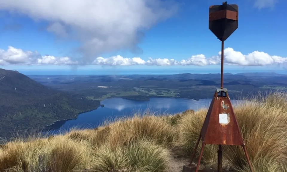
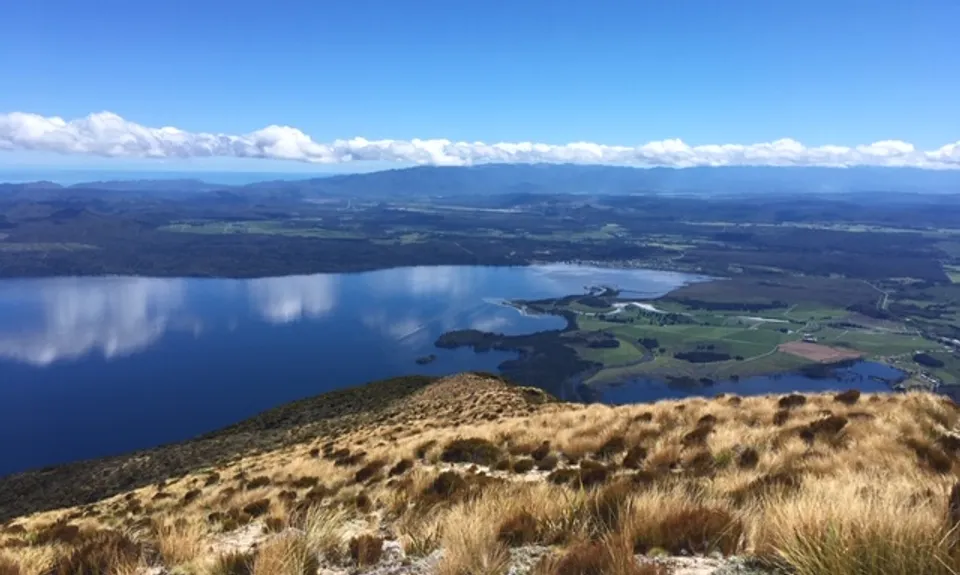
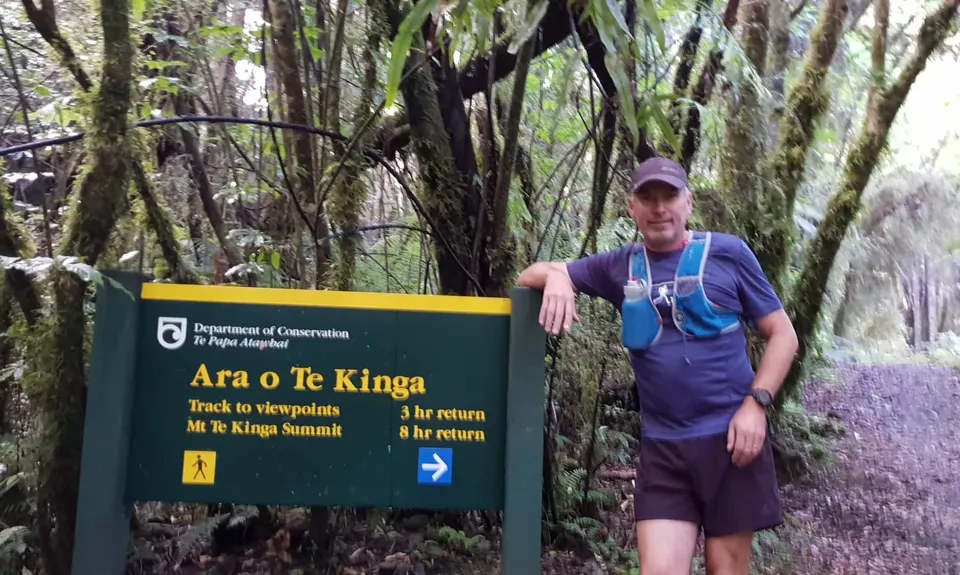
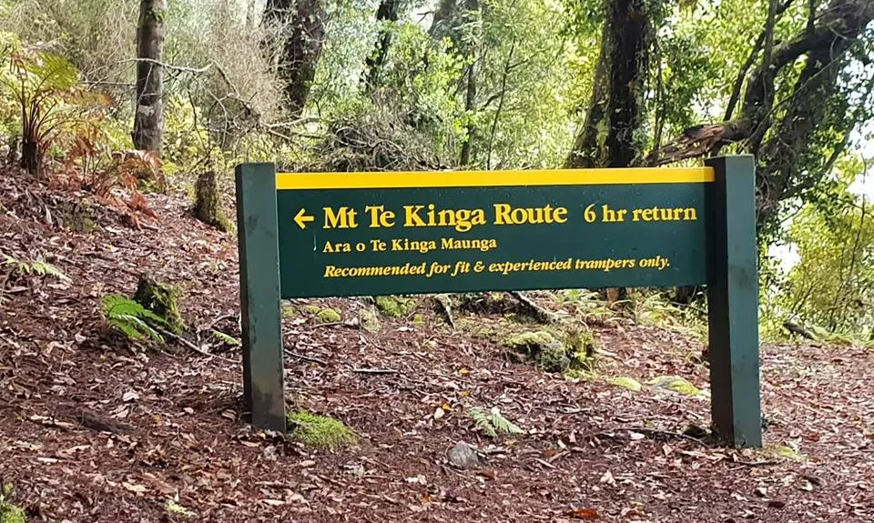
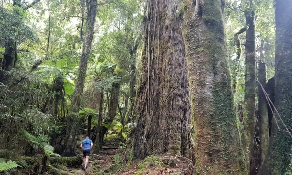
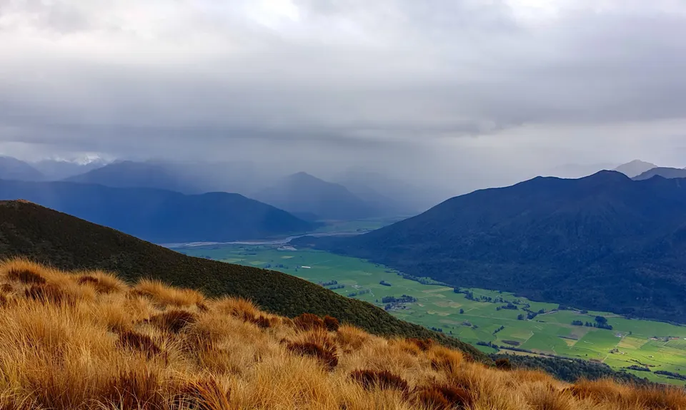
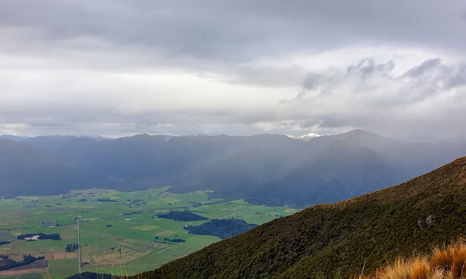
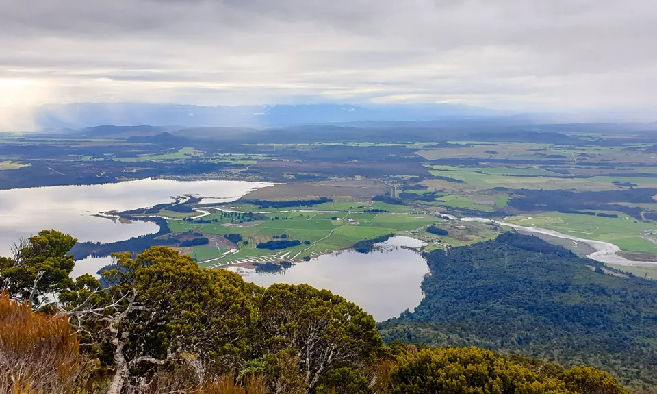
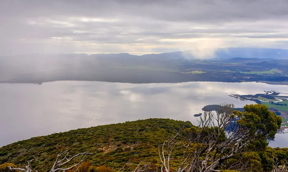
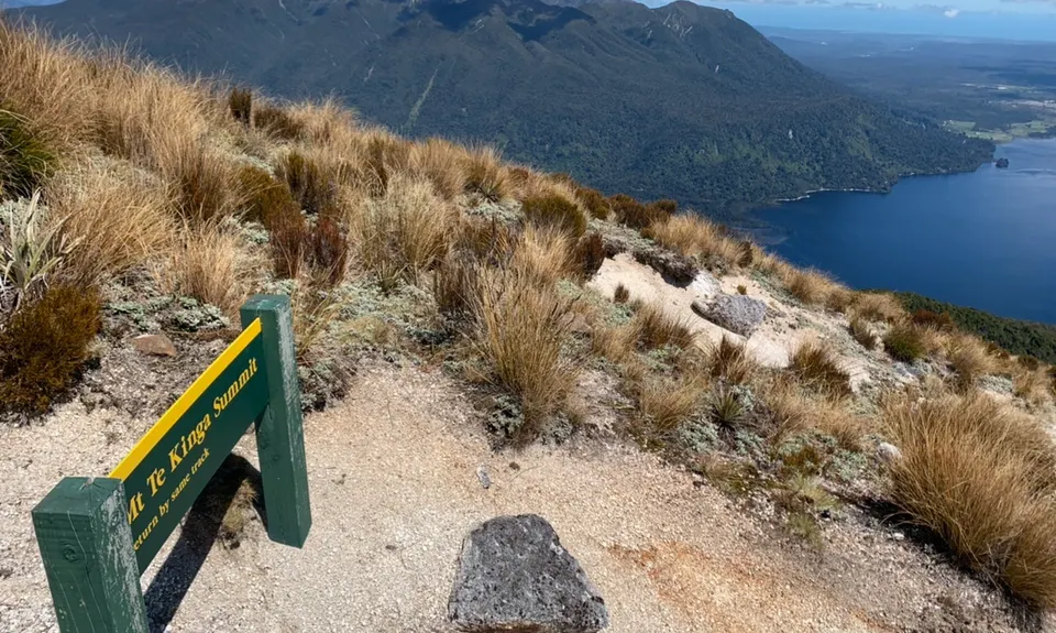
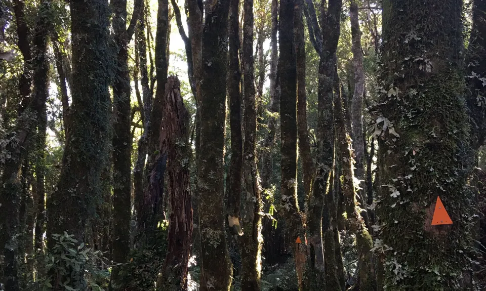
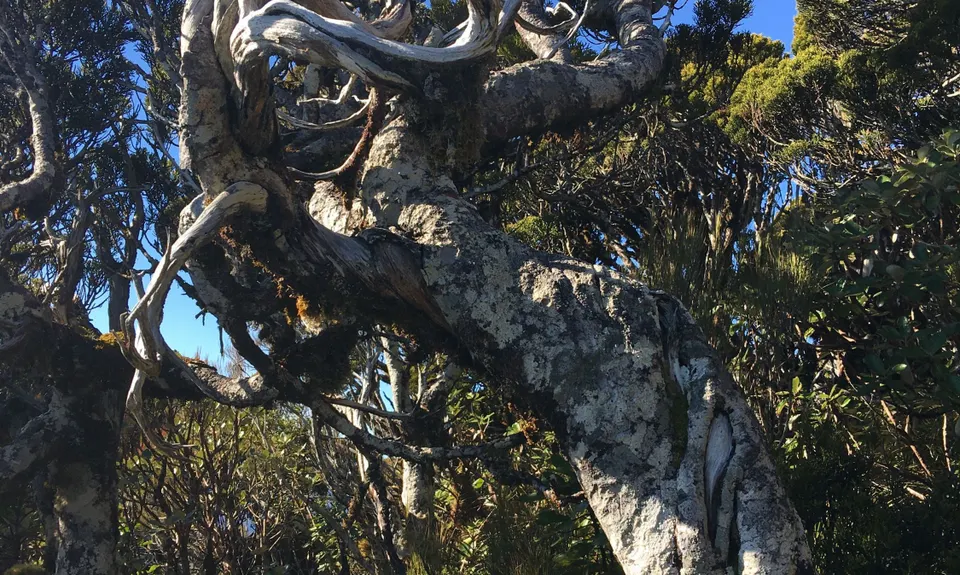
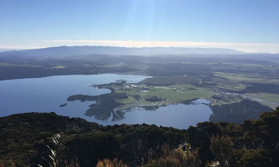
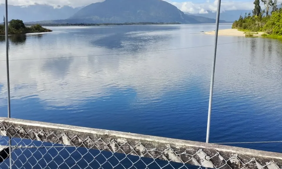
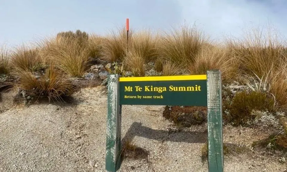
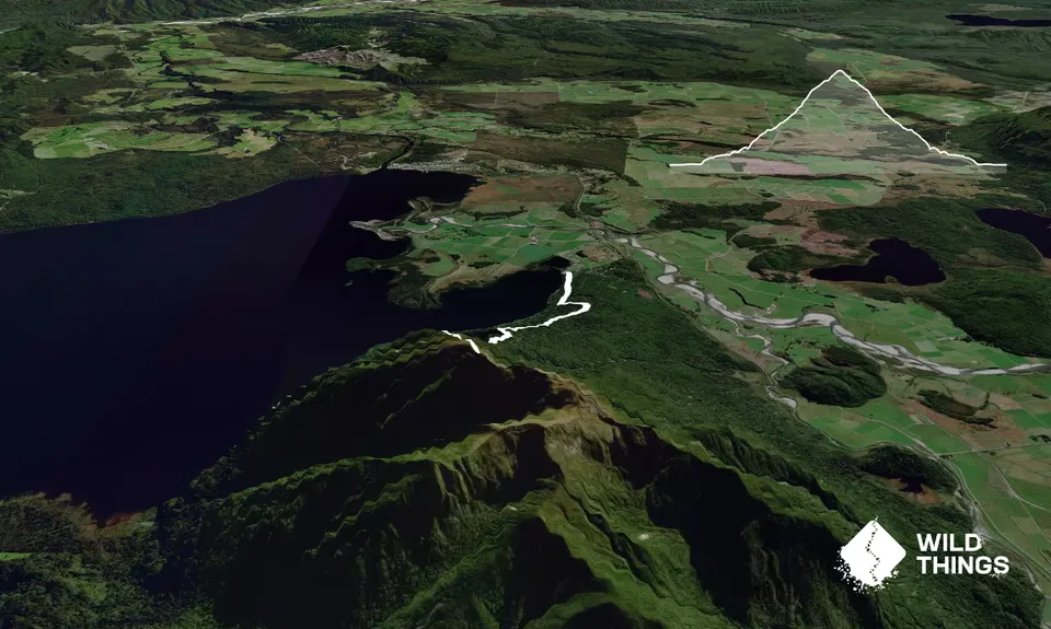
Mount Te Kinga
Last Updated: 13th May 2024
Open
Grunt Factor: 36 ?
Gnarl Factor: 68 ?
11.5km
1450m
1450m
1196m
Trail Map
This Topo layer only covers NSW/ACT.
Switch to another map layer when viewing outside this area.
Switch to another map layer when viewing outside this area.


