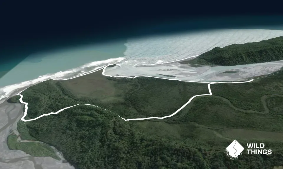
This is a nice easy loop which can be run in either direction - described here clockwise. The coastal part can only be run four hours either side of low tide, so please check this before you start.
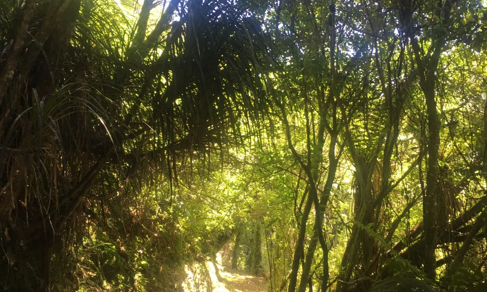
From the DoC carpark the track sets off along a flat smooth quad bike track. After a few hundred metres you reach a sign and the track splits. Take the left fork. At around the 1km mark the track narrows into lovely single track through the coastal rainforest. A few patches through here are a bit muddy, but in general it is smooth flowing running.
The track gradually climbs on a good gradient along an old pack track. From the beach near the top you can see Mt Oneone in the distance. It then winds downhill again to the mouth of the Poerua River. You will pass a few little batches - follow your nose and stay in the bush edge rather than heading out onto the beach.
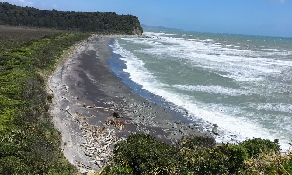
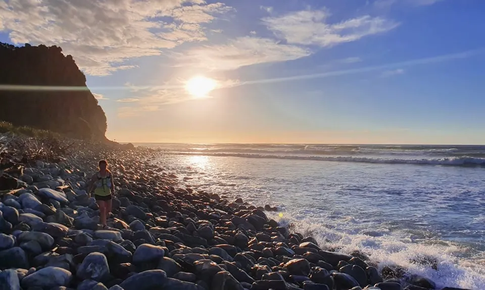
The track then climbs another small headland before dropping down onto the beach itself. From here there is about 700m of boulder-hopping over a narrow band of rocks at the base of an at-times overhanging cliff - if you've checked the tide times you'll be fine, but if it's looking high turn around and go back the way you came. Look out for sunbathing seals.
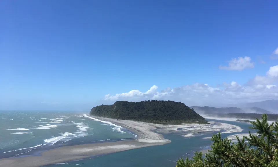
The rocks then give way to a smooth stretch of sand, with Mt Oneone visible at the end of it. Head to the base of it. If you want to add a bit of extra exploring you can head round the base clockwise, which takes you to the Wanganui river mouth, before completing the circle back to where you started. Otherwise follow your nose into the flax. Immediately look for a track going up the hill - it is very overgrown, unmarked and eroded in spots, but if you don't mind a little bit of bush bashing it's well worth following it to the little summit, where you get great views in all directions.
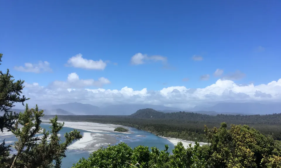
Turn around and head back down, then follow your nose along the tidal riverbank. There are several blue and yellow striped poles with orange triangles on to keep you roughly on track - in places here the track is pretty overgrown so it might be easier to go across the sand flats, depending on what the tide is doing. If you reach a creek big enough that you can't hop across it, backtrack slightly to find the track - it enters the trees again and takes you to a bridge across the creek.
From here the track turns back into a quad bike track, with several small batches and whitebait stands lining the river. Before long you are back at the junction and can head back to the carpark.