Last Updated: 4th May 2024
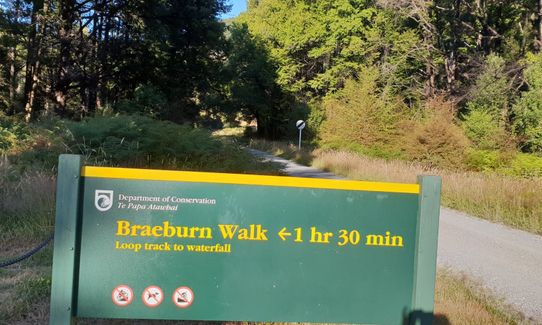
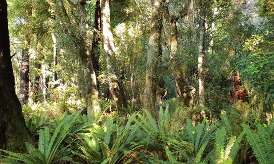
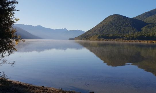
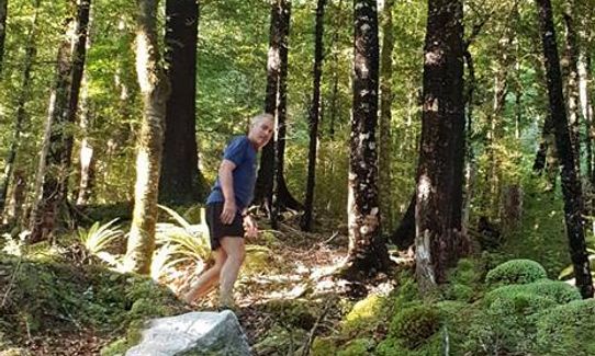
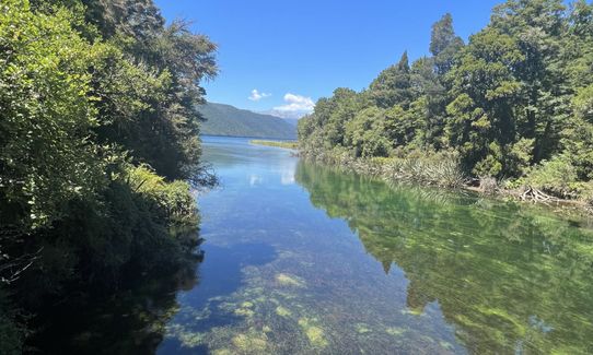
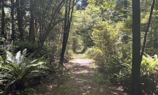
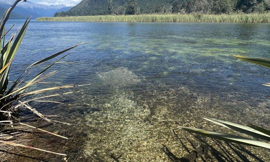
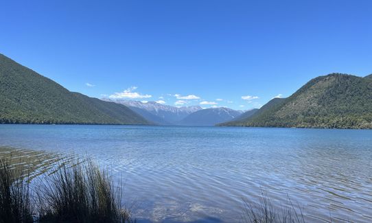
Hello Rotoroa
Last Updated: 4th May 2024
Open
Grunt Factor: 9 ?
Gnarl Factor: 12 ?
7.5km
125m
125m
543m

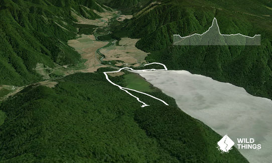
Trail Map
This Topo layer only covers NSW/ACT.
Switch to another map layer when viewing outside this area.
Switch to another map layer when viewing outside this area.


