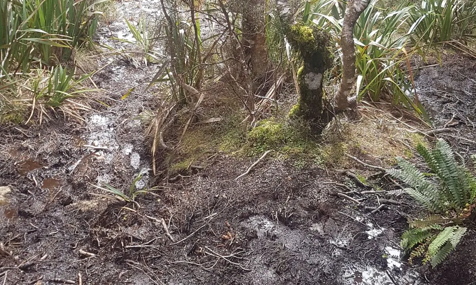
Tracks in the Longwoods are notoriously muddy. This makes for a challenging ascent over the many tree roots etc, pushing off/up from a soft ground footing.
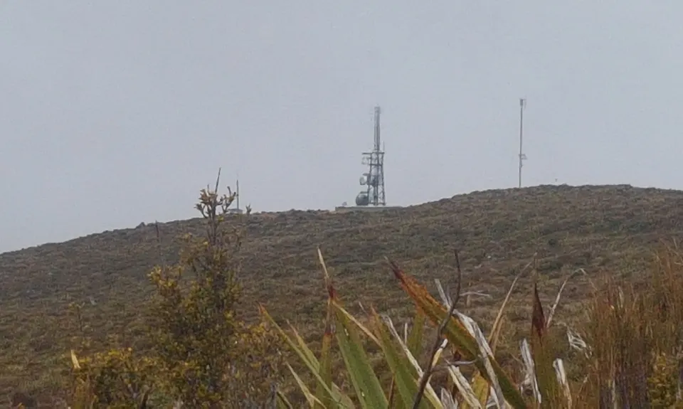
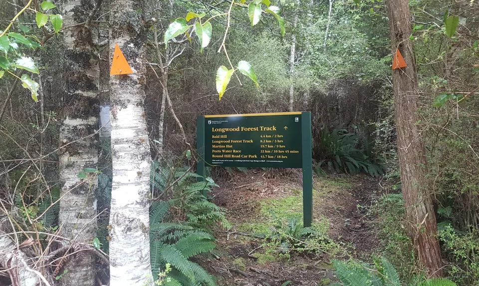
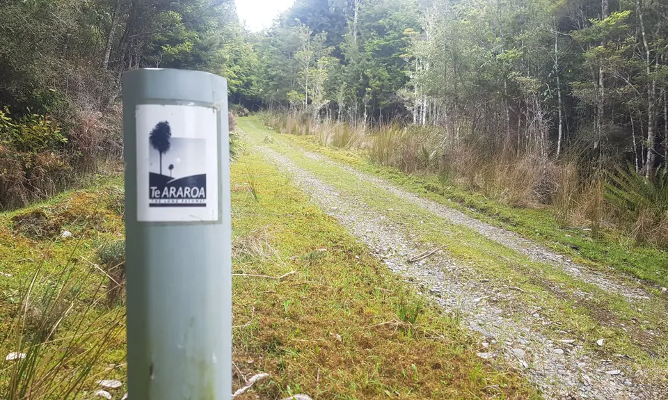
Follow the 4wd forestry road as it winds upward approx 5km to the end. Note the Te Araroa Trail markers beside the road/track once you leave the forestry block. At the road end, enter the bush and continue your ascent. Carefully follow the orange triangle track markers toward Bald Hill for approx 4km more. The final km ascends across tussock and low scrub and is marked by orange poles before arriving at the trig and transmission tower.
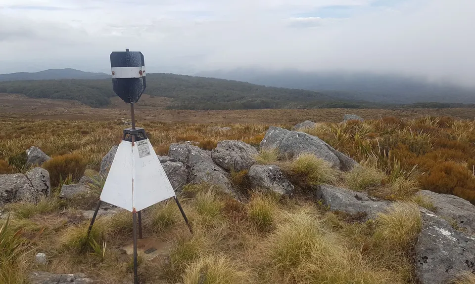
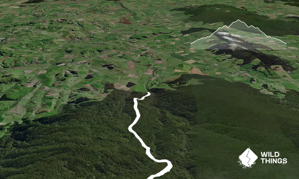
Bald Hill trig, and scenic view (weather dependent)
If you know of any public toilets near the trail start or on the route, please login and then let us know so we can update this section.
Park on side of the secluded rural road. No public transport option. Best take a phone and let others know of your plans.
18 km
16 minutes
Unknown
No
Hard.
Once in the bush, watch for orange triangles regularly. Be prepared to back track for 10-20m if you can't see any ahead of you, as the track winds about a little to avoid long-fallen logs and boggy patches.
Water available at start and end only; from Merry Creek, accessed a short distance down a 4WD track that departs Merrivale Road on the left-hand side, just beyond the final farm paddock.
Parts of this run are likely to be very, very muddy for much of the year. Definitely best in summer, but may still be muddy if there has been recent rain. Also may be exposed at/on the top as the tree line is 800m from the summit.
Lots of fallen branches and trees to navigate (consider wearing calf socks or trail-gators), and a few good bogs (make sure your shoes are tied on well & rinse them off in Merry Creek on your way out!)
Do you have a suggestion on where to go afterwards for the best coffee / cake / breakfast / brunch / beer?
Great run with a nice mix of technical tree rooty mud-hopping and easier sections where you can stretch your legs. The forest around the parking area is currently being logged, so be mindful if there when machinery is working.
We don't store or share your location; it's only used for these features. You can continue without it, just without distance sorting and live map features.
Send to your phone
Scan the below QR code to open this page on your phone.
Tip: position the QR code in your phone camera screen.