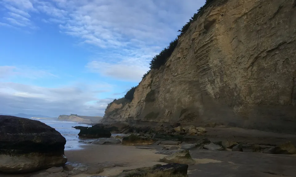
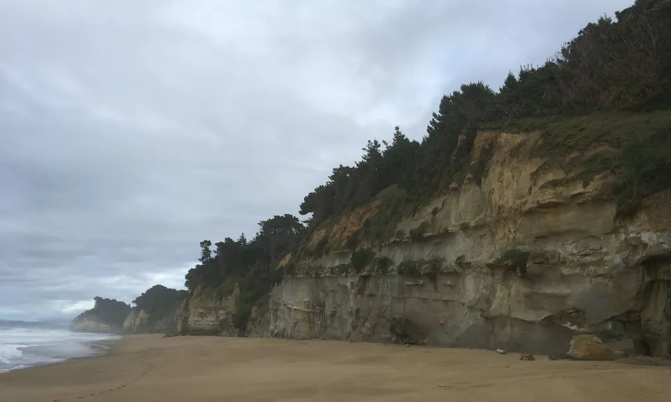
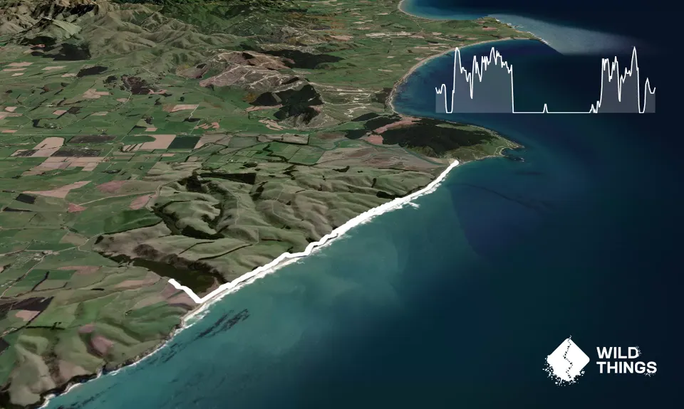
From the carpark the route takes a path down to the dunes and turns north to the mouth of the Lagoon. You may get your feet wet here. Steps take you up onto the top of the cliffs where a path between a deer fence and a thin strip of plantation continues with a series of undulations along the cliffs. In places you have to pick your way through tree branches.
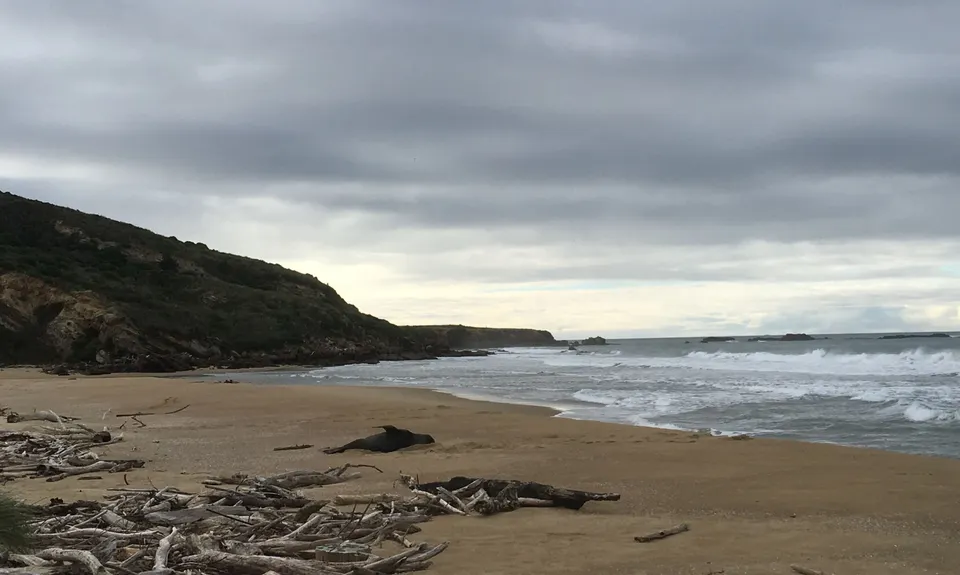
This path will eventually drop onto Shag Beach and you can follow this to the Shag River mouth. [At low tide it is possible to drop onto the beach early [Look at the gpx track.] Once at the Shag River, rejoice in the splendour of the isolation, try not to get chased by sea lions and the re-trace your steps back to the start!
Spectacular views as you run along the cliffs.
Lots of nesting seabirds as well as sea lions on the beach section
You probably won't meet another person on this route...
If you know of any public toilets near the trail start or on the route, please login and then let us know so we can update this section.
Parking on grass beside a fence and stile.
No options for public transport.
7 km
12 minutes
Unknown
No
Moderate.
Watch out for the access points to the beach.
NOT RECOMMENDED at high tide
Tide info: NIWA Tide Forecaster.
This site gives you the actual height of the tide so you can pick exactly which is the lowest tide. This computer model is expected to be accurate to within 0.1 m in tide height and 10 mins in tide time.
• Input Shag Beach coordinates in degrees/minutes/seconds format: Latitude 45 30 20 S and Longitude 170 47 20 E.
• Choose Datum: Lowest Possible Tide.
Track is very overgrown! But a fun adventure anyway. We crawled under a lot of stuff ??♀️ We got about 600m from the end but 3 big seals were blocking the beach and we couldn't get through the trees.
Neat to go check out this little piece of coastline. I would have given an extra star but I stood on the only dogshit in the area as soon as I got out of my car.
We don't store or share your location; it's only used for these features. You can continue without it, just without distance sorting and live map features.
Send to your phone
Scan the below QR code to open this trail on your phone.
Tip: position the QR code in your phone camera screen.