Last Updated: 21st Sep 2023
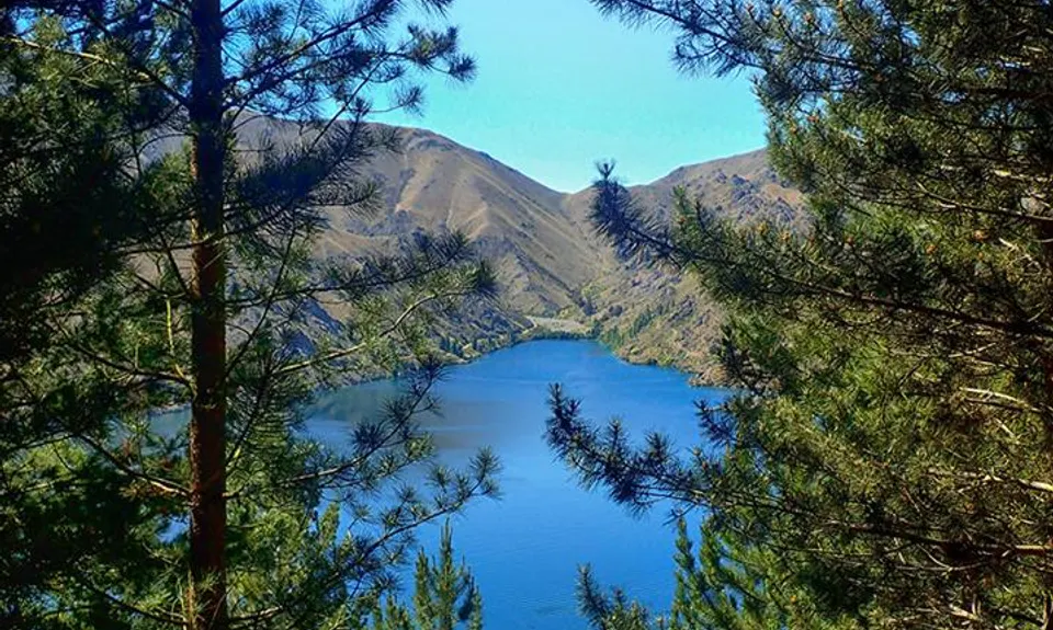
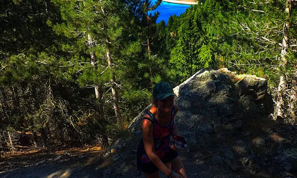
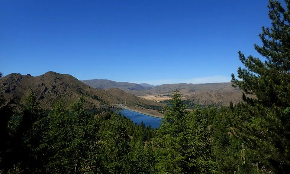
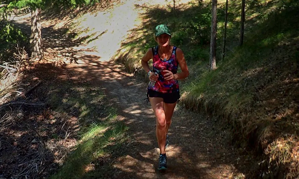
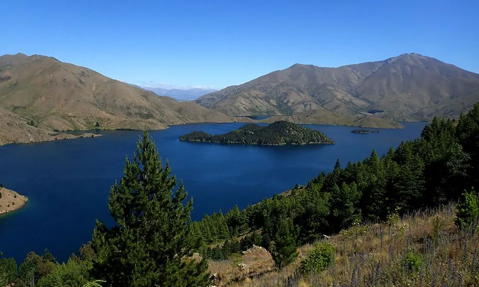
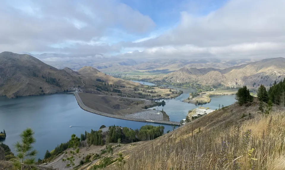
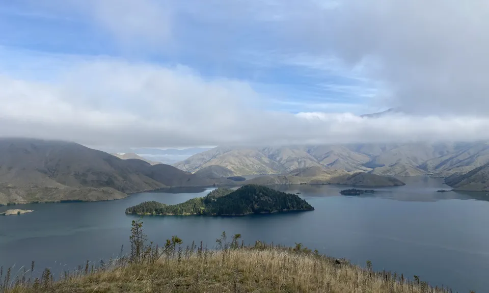
Benmore Peninsula Track
Last Updated: 21st Sep 2023
Open
Grunt Factor: 10 ?
Gnarl Factor: 45 ?
5.0km
250m
250m
560m
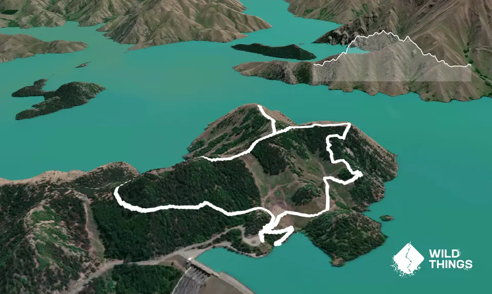
Trail Map
This Topo layer only covers NSW/ACT.
Switch to another map layer when viewing outside this area.
Switch to another map layer when viewing outside this area.


