Last Updated: 6th Feb 2026
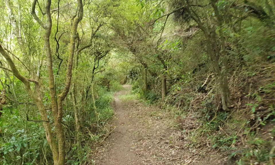
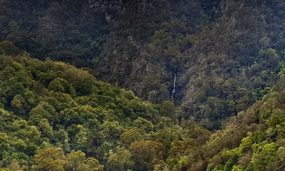
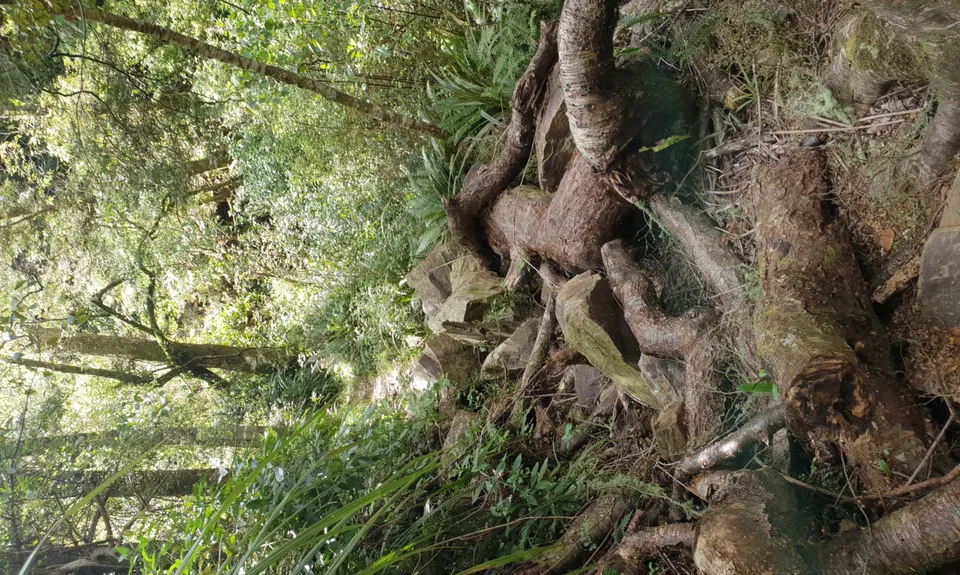
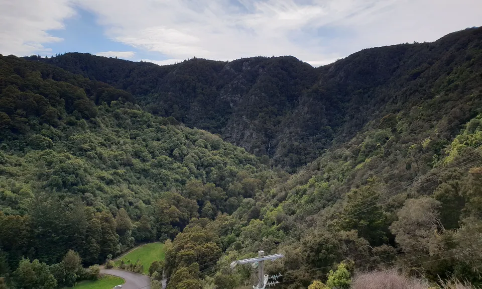
Waipori Falls Government Track
Last Updated: 6th Feb 2026
Open
Grunt Factor: 29 ?
Gnarl Factor: 21 ?
24.0km
910m
910m
506m


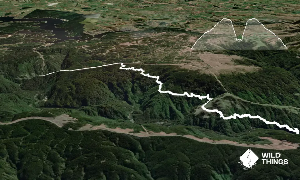
Trail Map
This Topo layer only covers NSW/ACT.
Switch to another map layer when viewing outside this area.
Switch to another map layer when viewing outside this area.


