Last Updated: 21st Sep 2023
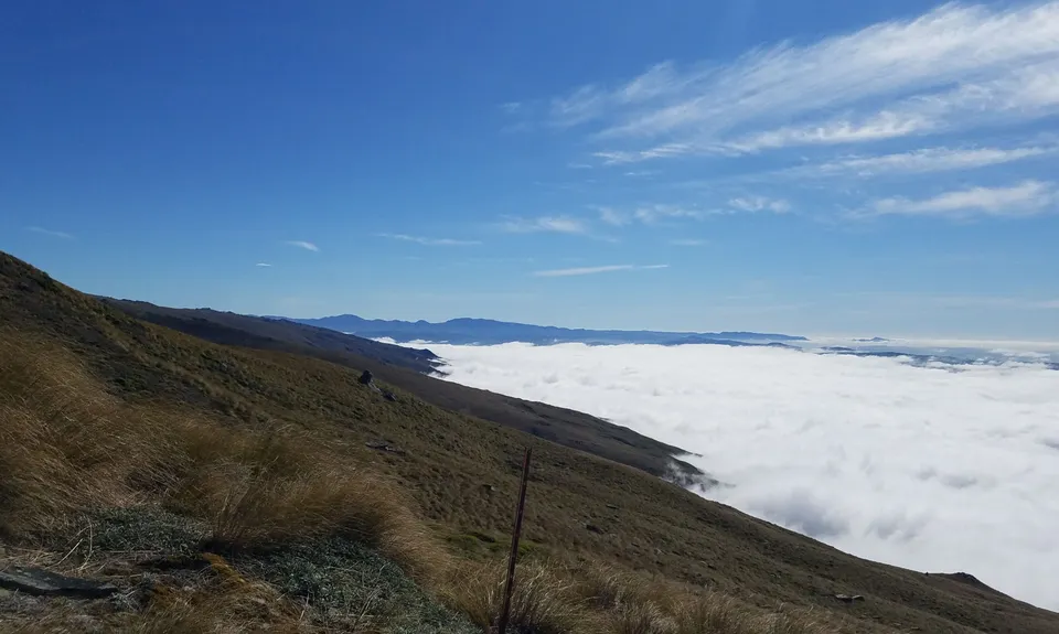
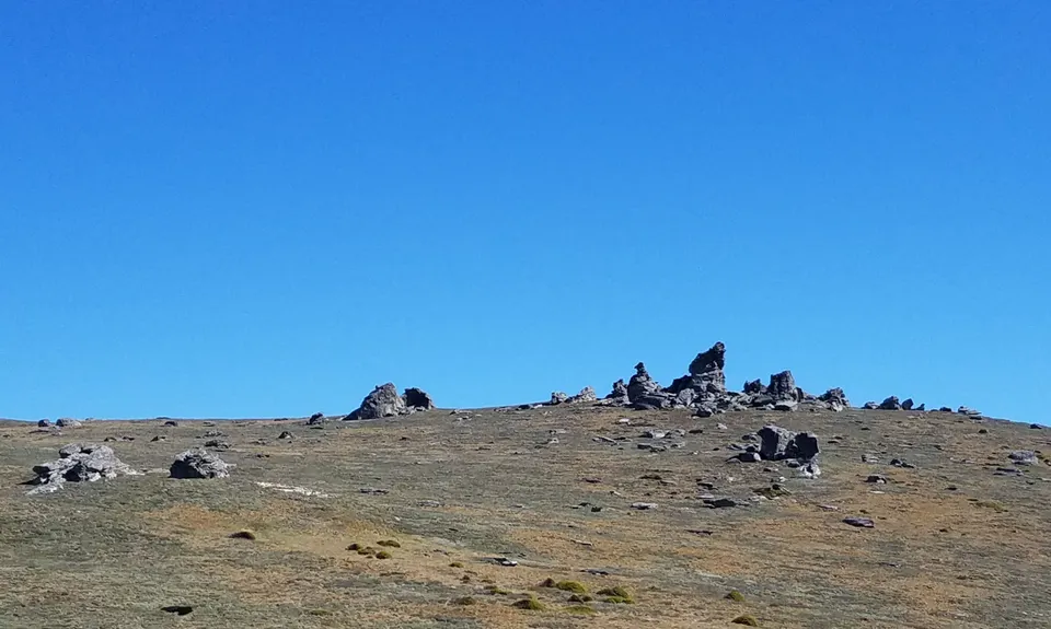
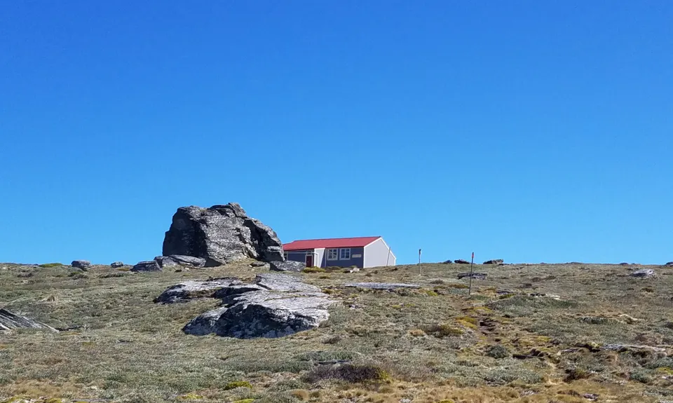
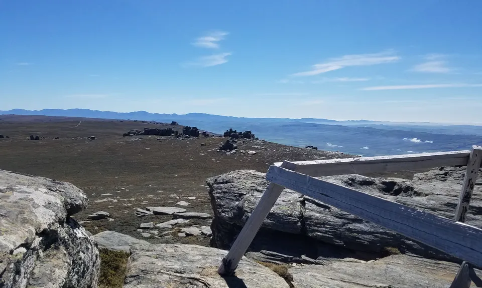
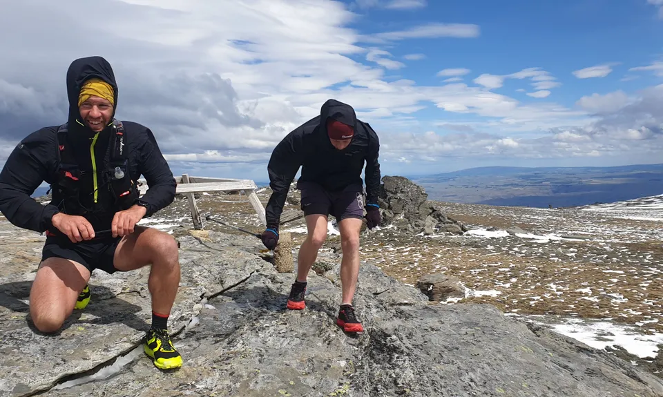
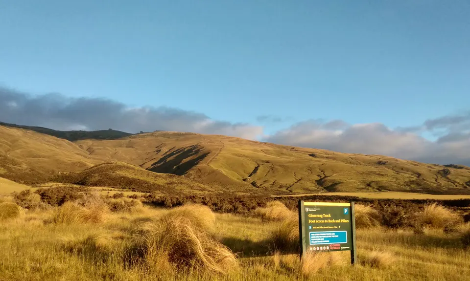
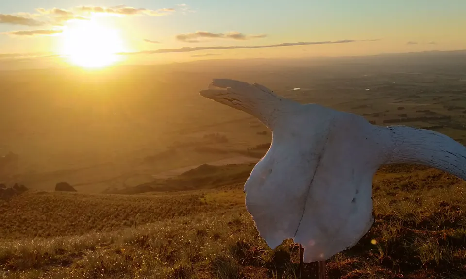
Rock and Pillars VK
Last Updated: 21st Sep 2023
Grunt Factor: 32 ?
Gnarl Factor: 76 ?
12.0km
1100m
1100m
1460m
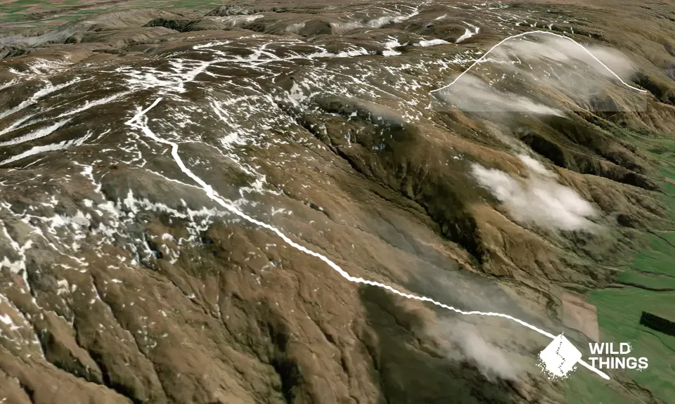
Trail Map
This Topo layer only covers NSW/ACT.
Switch to another map layer when viewing outside this area.
Switch to another map layer when viewing outside this area.


