Last Updated: 21st Sep 2023
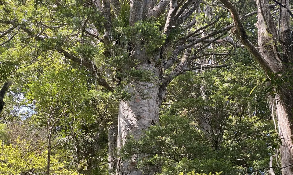
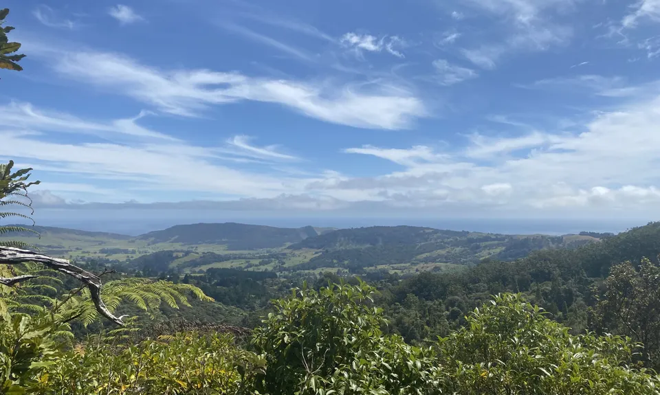
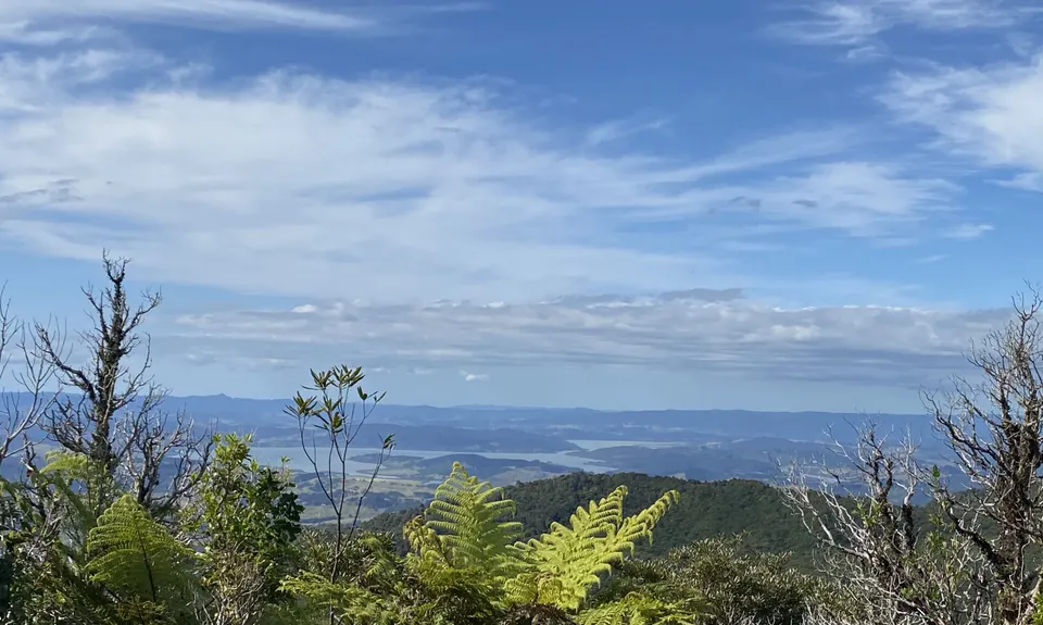
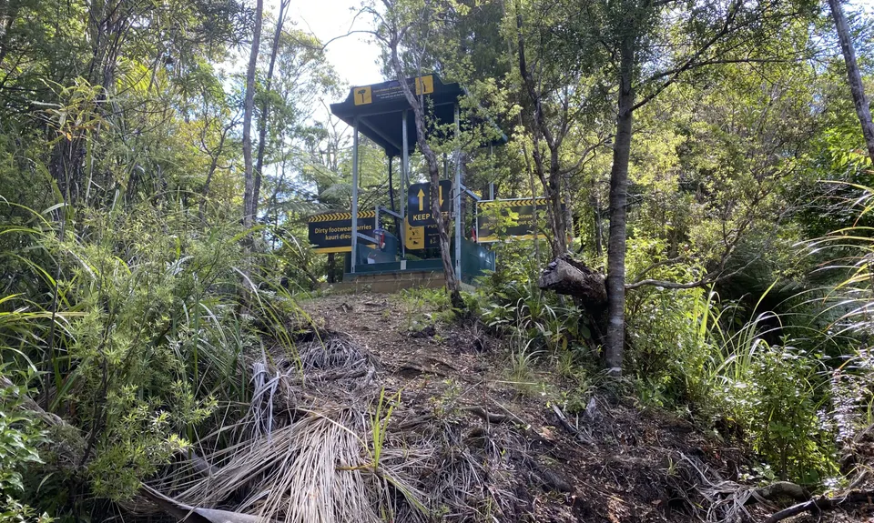
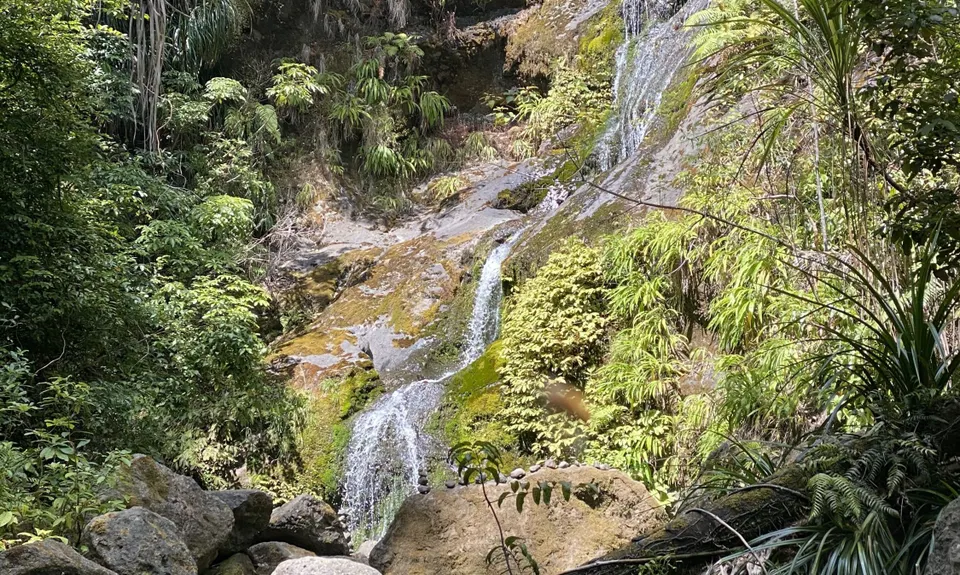
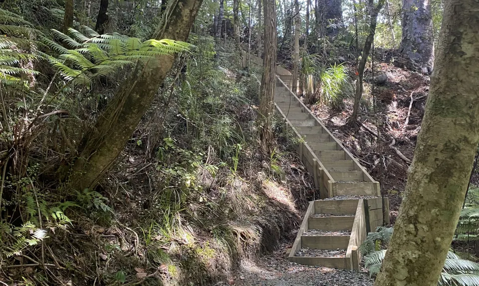
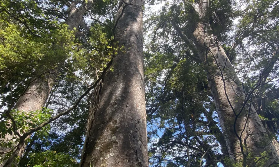
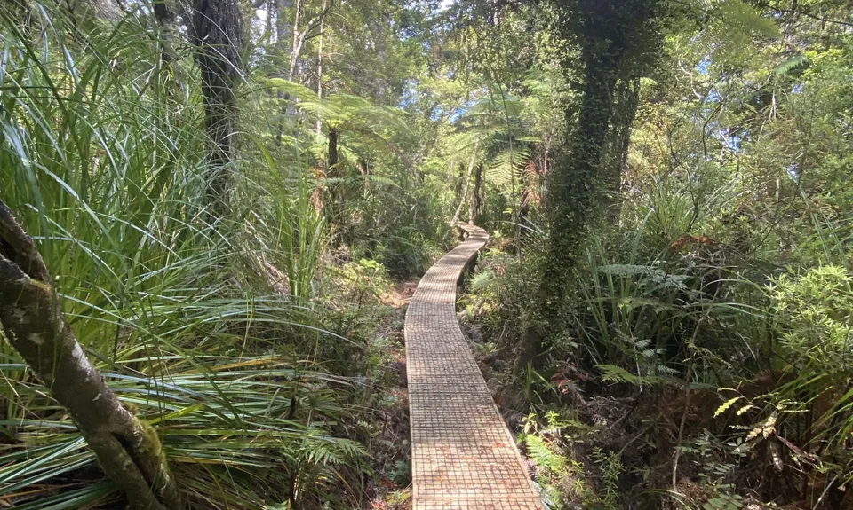
Hauturu High Point - East
Last Updated: 21st Sep 2023
Grunt Factor: 22 ?
Gnarl Factor: 58 ?
9.0km
800m
800m
670m

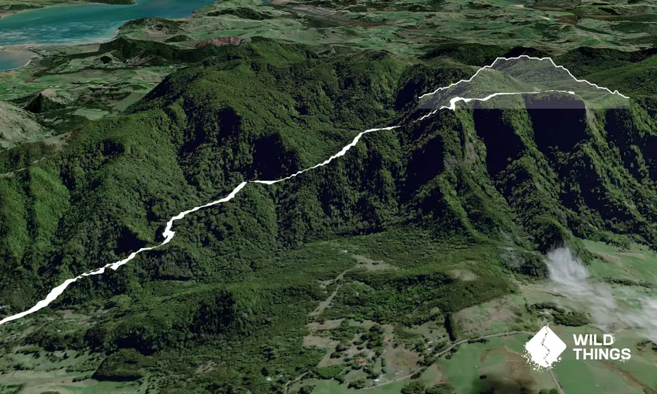
Trail Map
This Topo layer only covers NSW/ACT.
Switch to another map layer when viewing outside this area.
Switch to another map layer when viewing outside this area.


