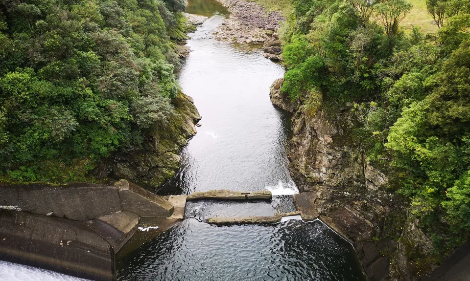
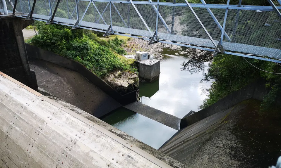
From the start, head down the small access road to Dam #2, go across the Dam to the other side. Once across, head over the grass on your L) and the track takes off from the edge of the bush. From here the track is marked with orange triangles.
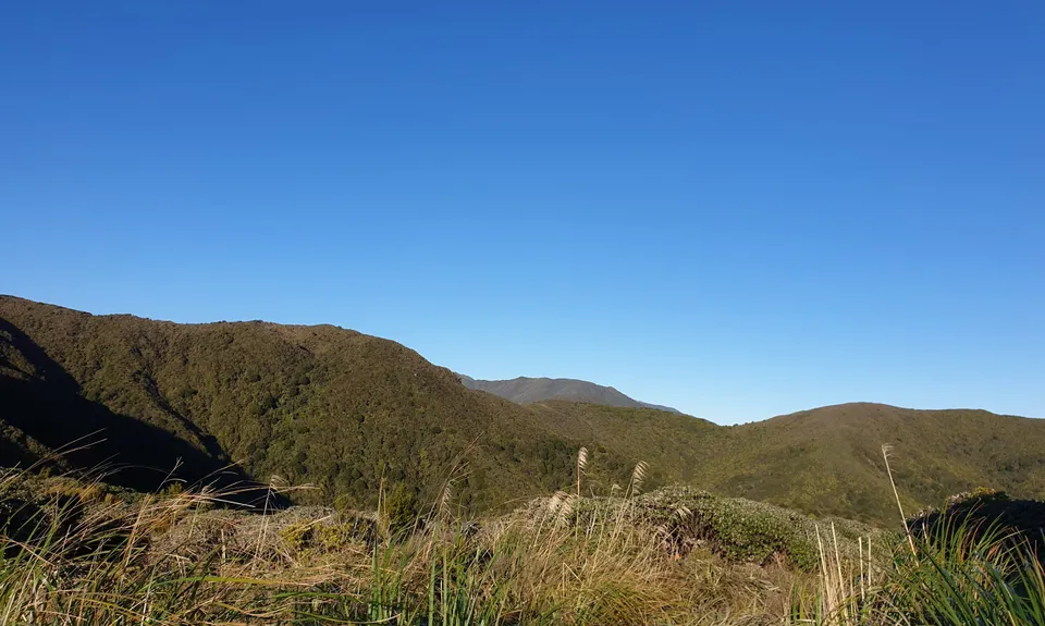
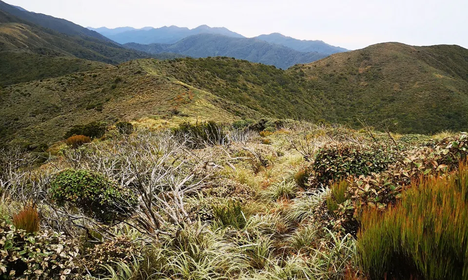
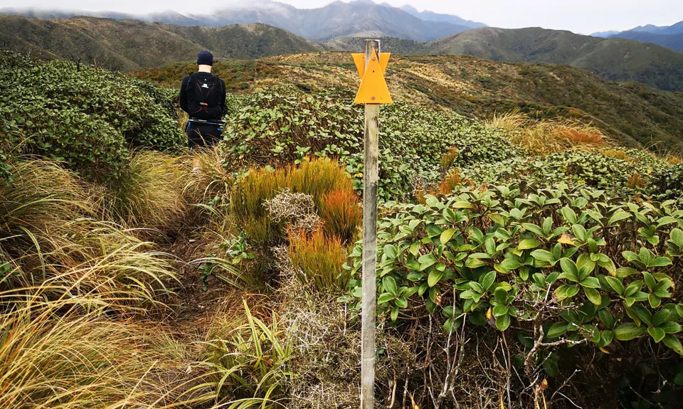
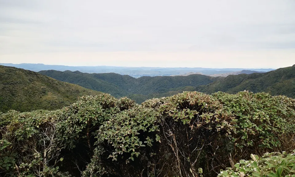
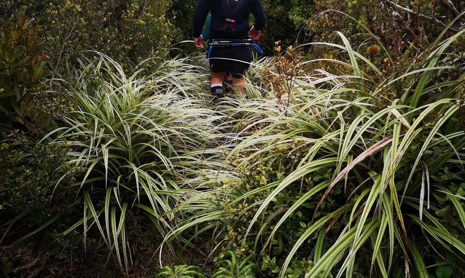
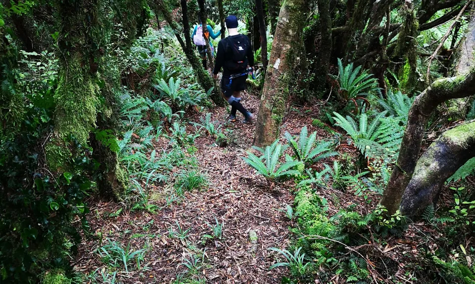
The initial km or two is sidling along the hill, and then you turn R) to head up the hill. This is a steady climb. Once you reach the bushline you open from the trees into the leatherwood. From here you can see Burn Hut over to your R) on the far ridge. The leatherwood is standard Tararua fare through here - overgrown, rough on the legs, but the trail is easy to follow along the ridge (as it is less overgrown than everything else).
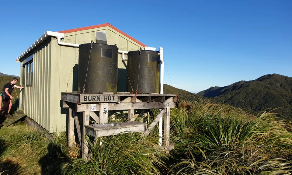
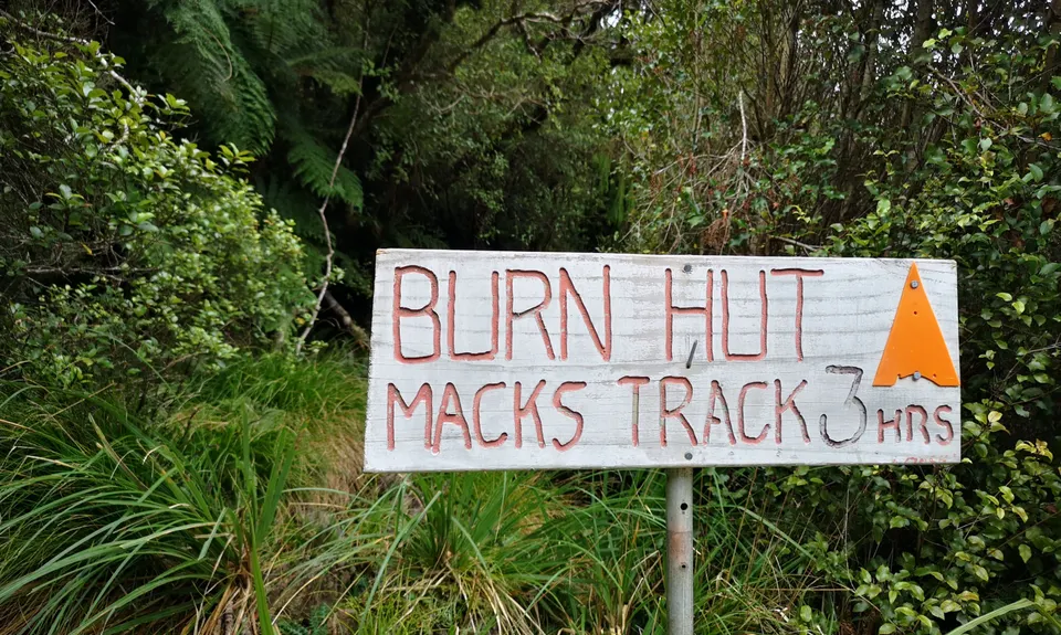
The track follows the ridgeline around until you reach the hut, with a few small ups and downs. Burn Hut is a nice quick stop off, avoid the Long Drop if possible. Leaving the hut, continue along the trail, with some more ridge climbing and leatherwood with some short ascents and descents. The descent begins above the bushline, and continues on fairly continuously down the hill once commenced.
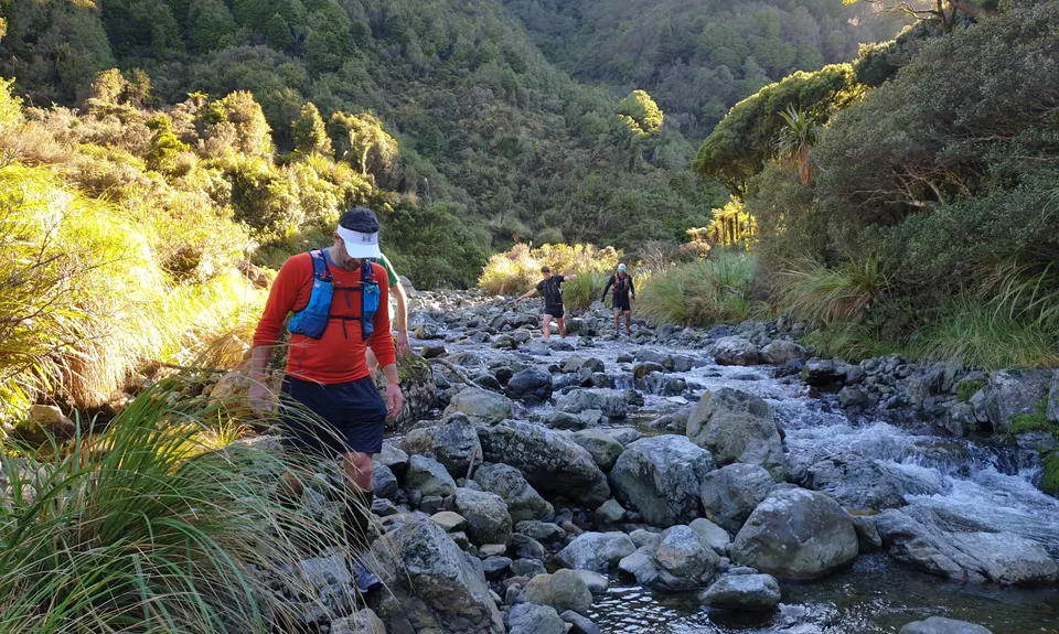
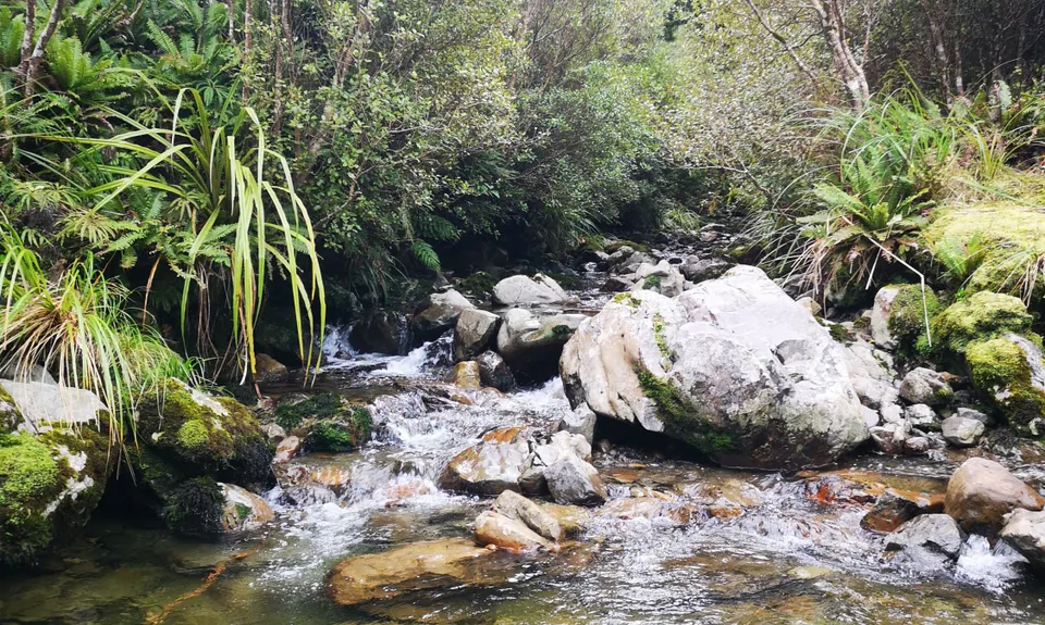
Again the track is marked with triangles and there shouldn't be any issues with navigation. Continue until you hit the Stream (College Creek). Once in the stream head downstream, you will be following this for 1-2km. At low flow navigation is easy, up to the knees a couple of times, at a higher flow, you may need to get a bit more wet in places but should still be ok.
Follow the creek until you hit Baber Forks (you won't miss the stream coming down on river left to join you), exiting the creek on River R) (looking for the track markings and triangle) this is the main Puketarua Track. Follow this back to Dam #3. If you drop right down next to the Dam, make sure you climb back up on the R) and find the track again. There will be markings all the way out to the Dam. Cross the dam, and then continue back down the gravel road for a few km, back to your car, Job done.