Last Updated: 1st Jul 2025
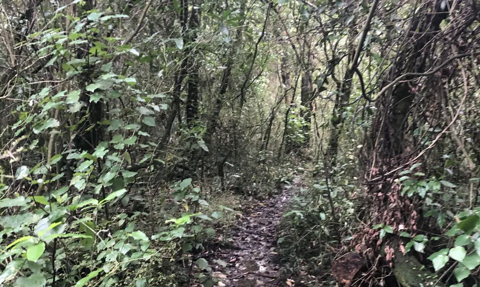
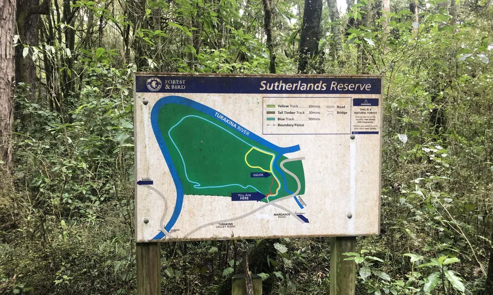
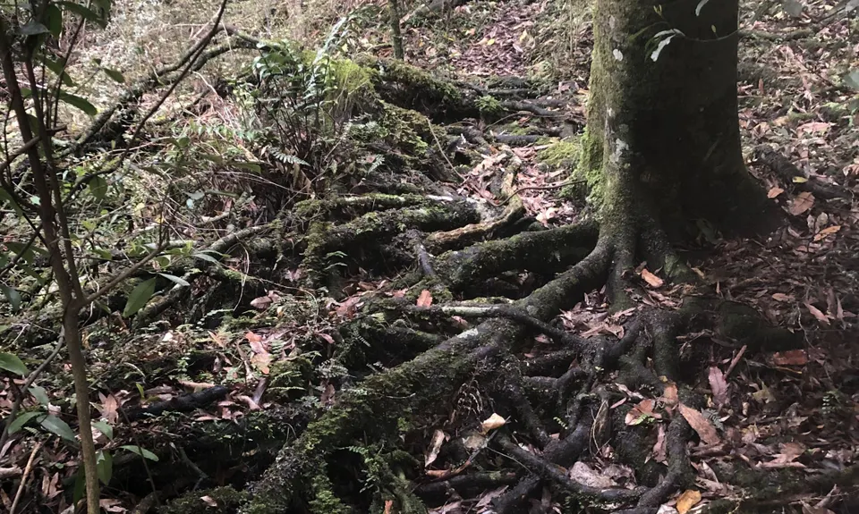
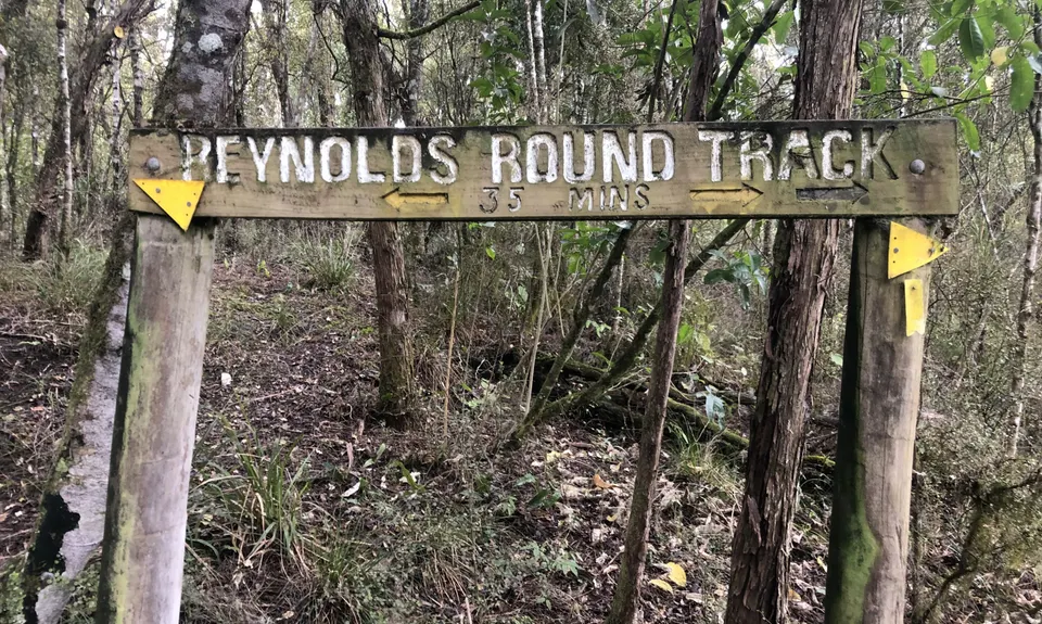
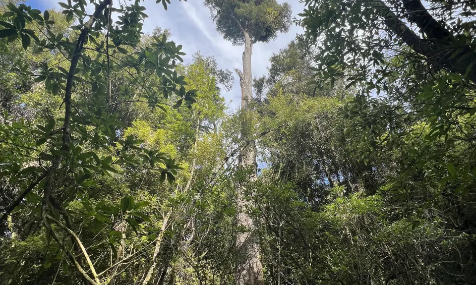
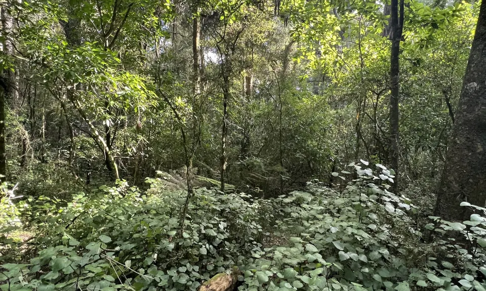
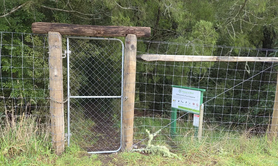
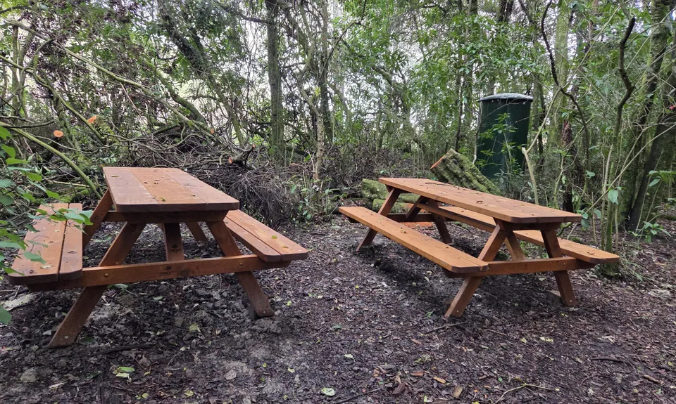
Sutherland's Puriri Bush
Last Updated: 1st Jul 2025
Open
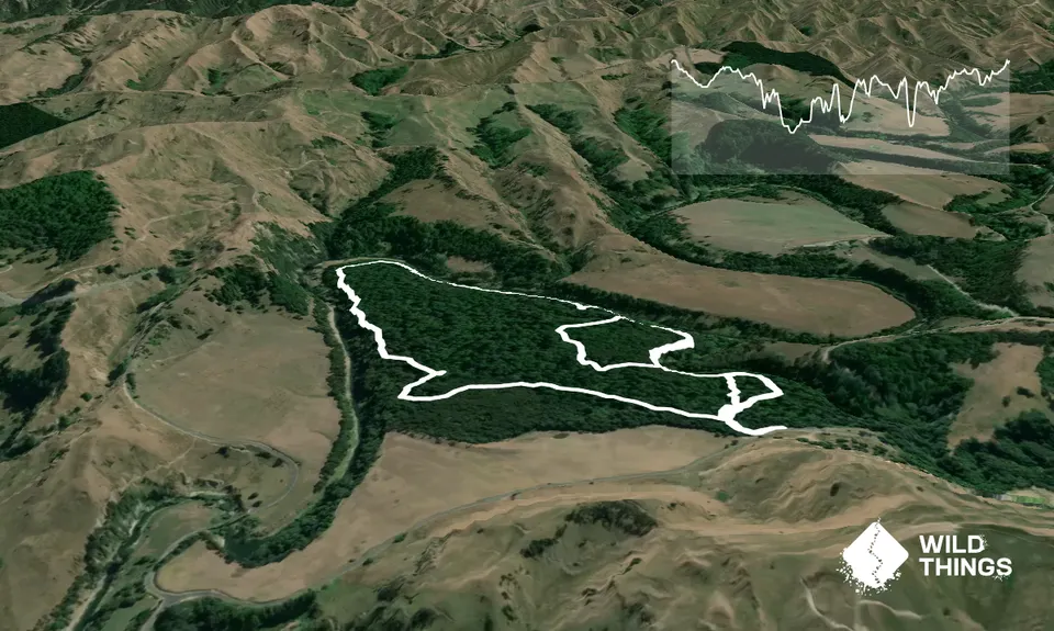
Grunt Factor: 16 ?
Gnarl Factor: 53 ?
4.7km
85m
85m
85m
Trail Map
This Topo layer only covers NSW/ACT.
Switch to another map layer when viewing outside this area.
Switch to another map layer when viewing outside this area.


