Last Updated: 5th Feb 2025
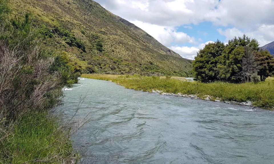
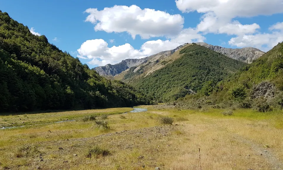
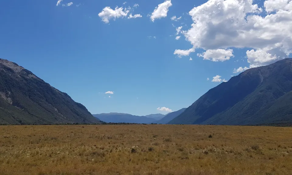
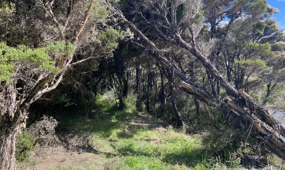
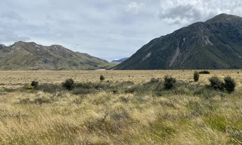
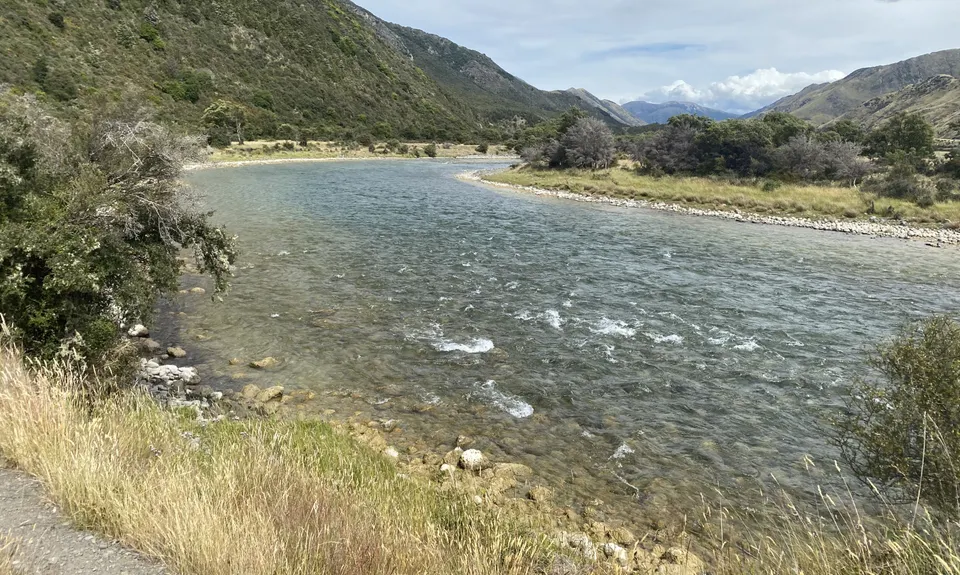
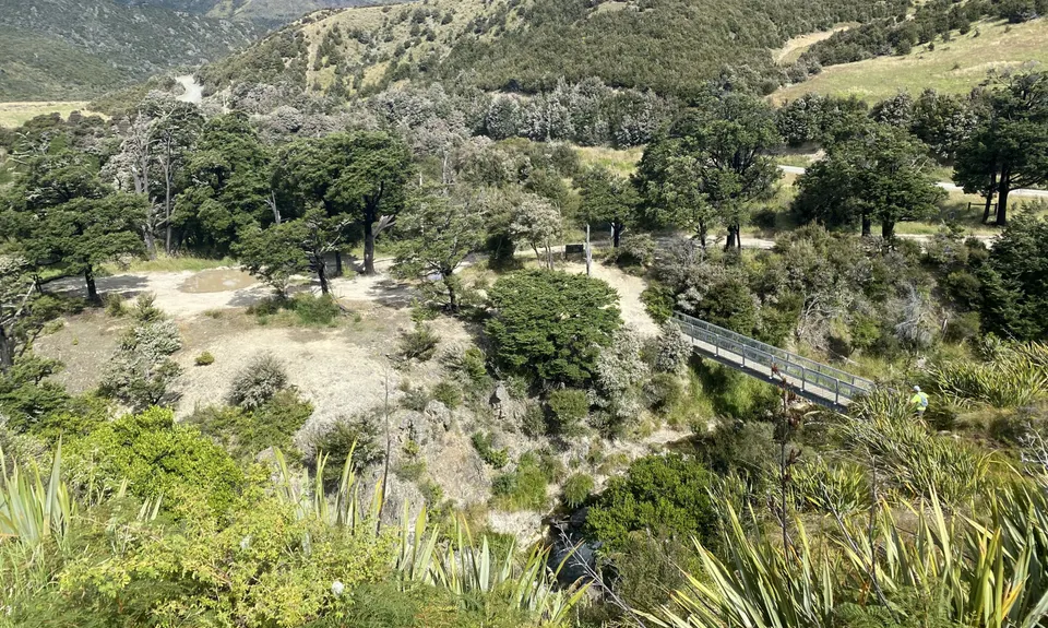
Jollie Brook Loop
Last Updated: 5th Feb 2025
Open
Grunt Factor: 49 ?
Gnarl Factor: 58 ?
32.0km
520m
520m
700m
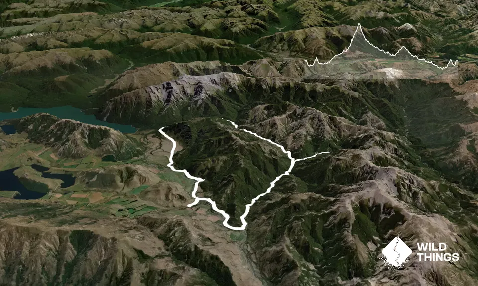
Trail Map
This Topo layer only covers NSW/ACT.
Switch to another map layer when viewing outside this area.
Switch to another map layer when viewing outside this area.


