Last Updated: 3rd May 2026
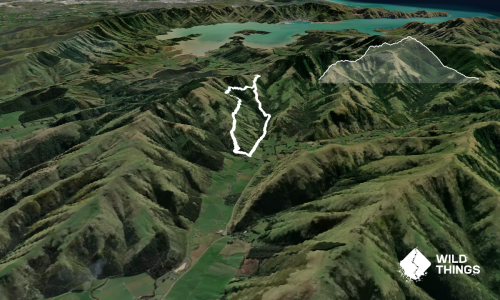
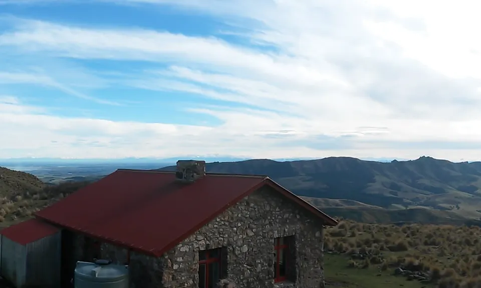
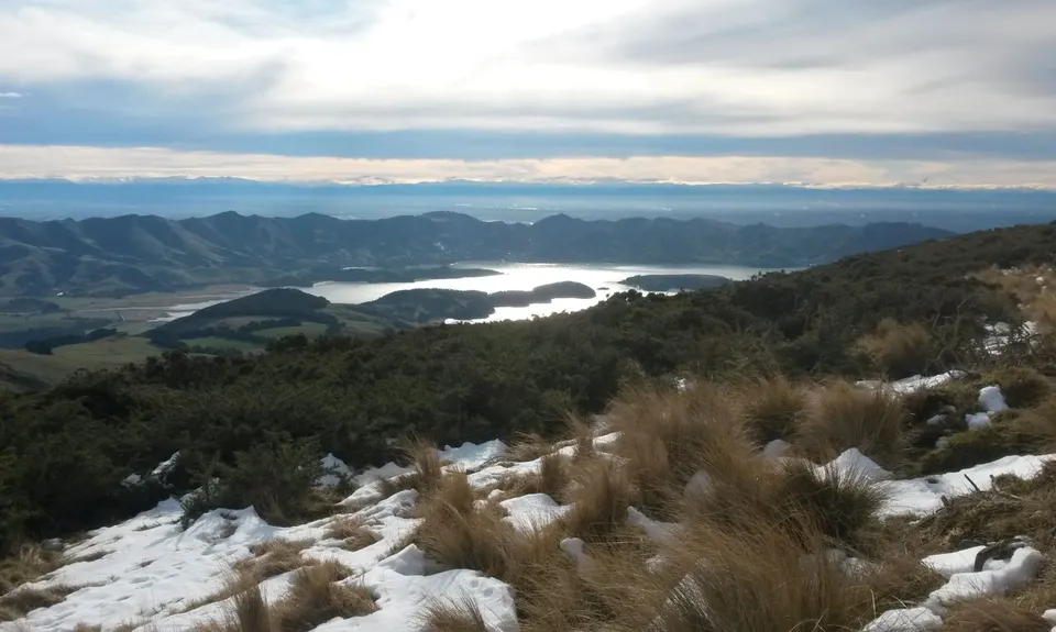
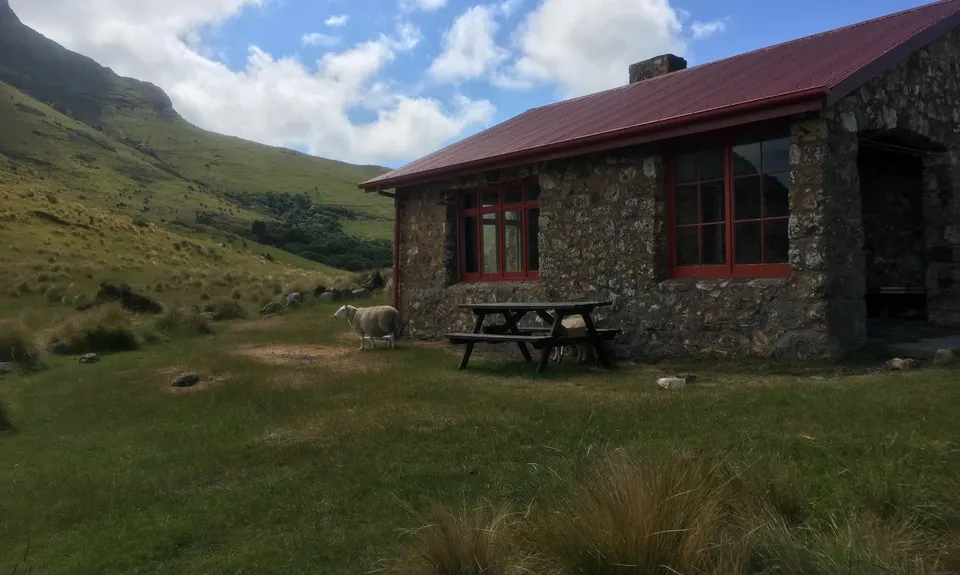
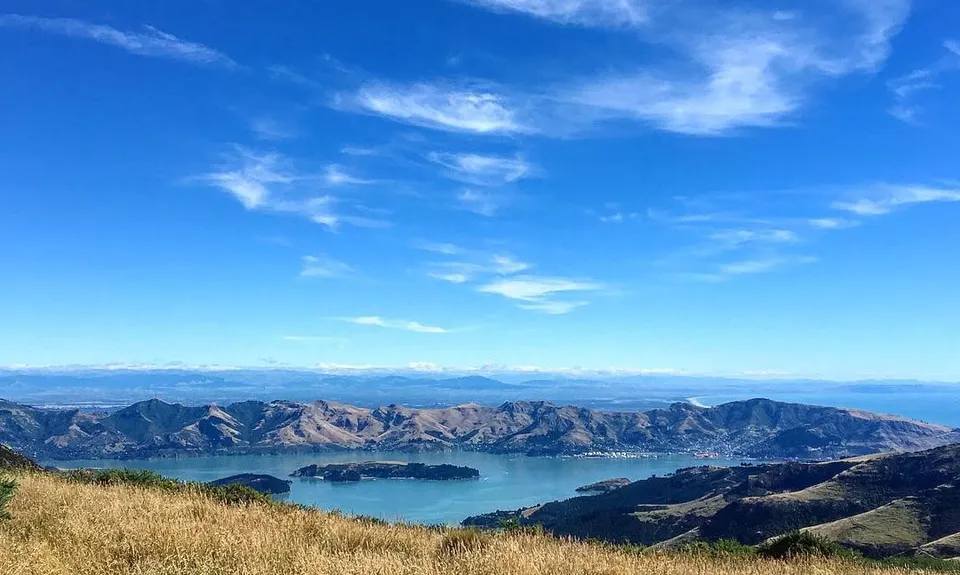
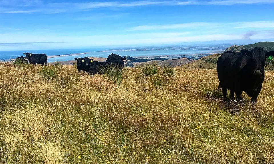
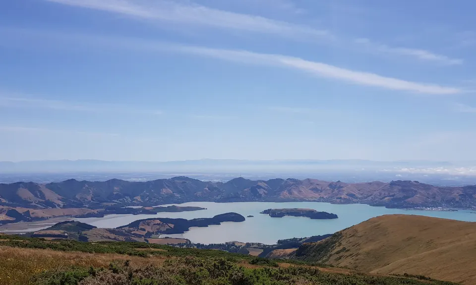
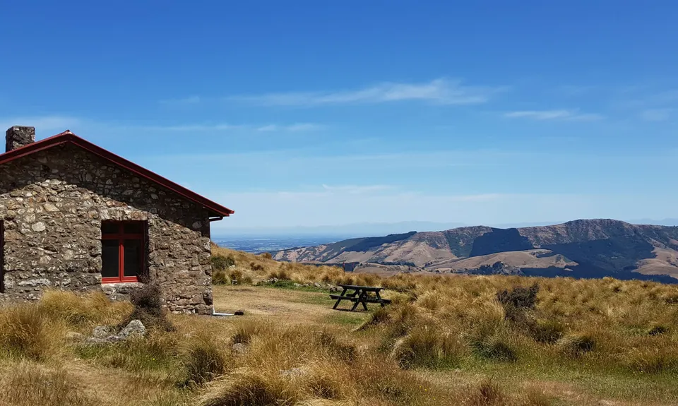
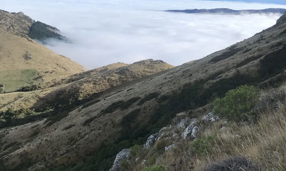
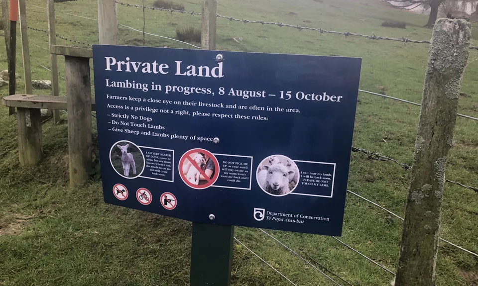
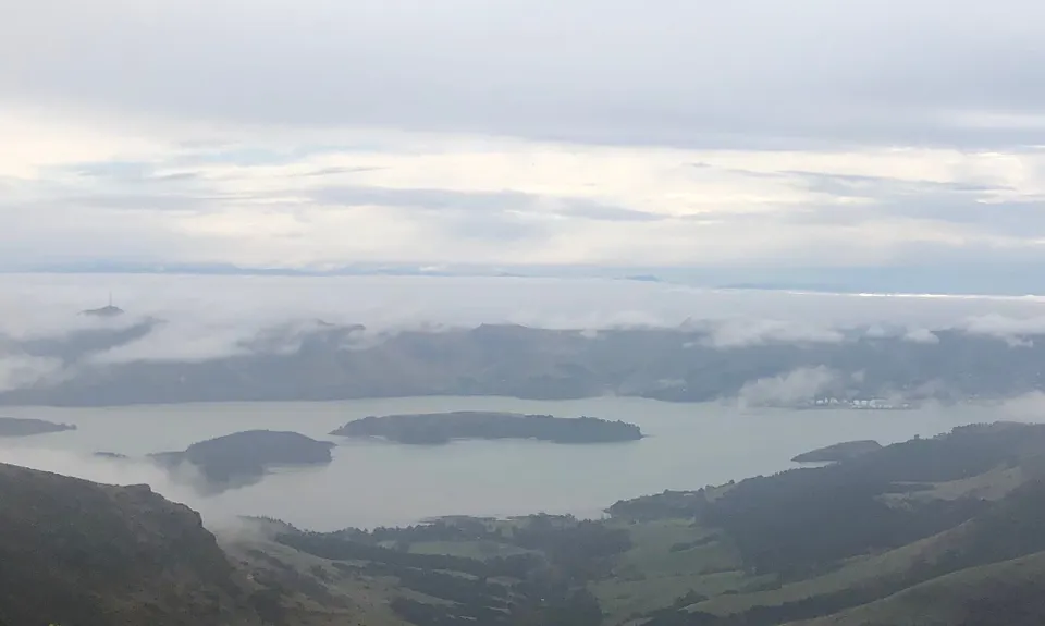
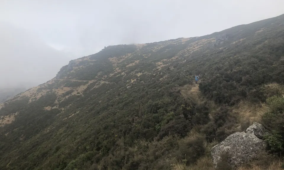
Kaituna Grande Loop
Last Updated: 3rd May 2026
Grunt Factor: 28 ?
Gnarl Factor: 16 ?
21.1km
1050m
1050m
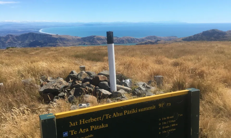
910m


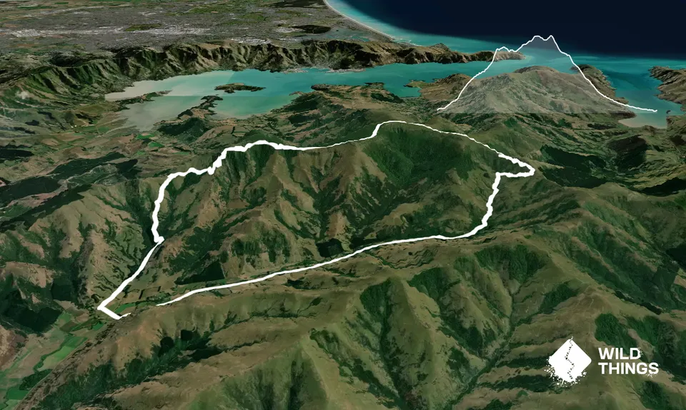
Trail Map
This Topo layer only covers NSW/ACT.
Switch to another map layer when viewing outside this area.
Switch to another map layer when viewing outside this area.