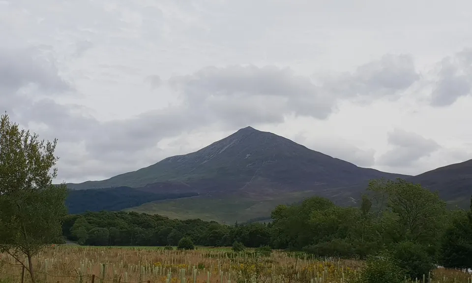
Sìth Chailleann, the Fairy Hill of the Caledonians. Maybe famous for it's use in calculating the mass of Earth in the 18th Century, it's also very close to the centre of mainland Scotland. It certainly has amazing views from the top due to being quite isolated from the other mountains around. There's a great trail for running (most of the way) so make it one of your stops on your trip to Scotland!
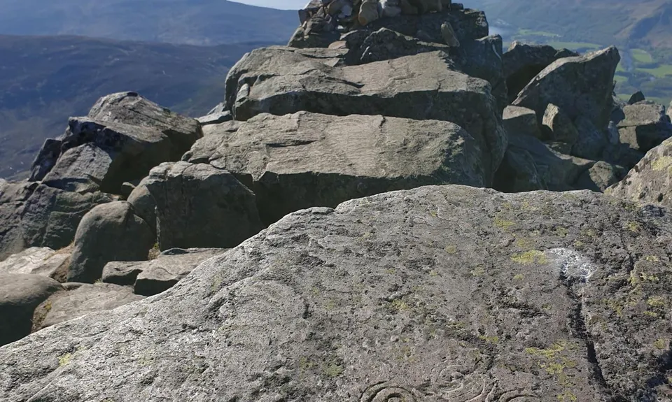
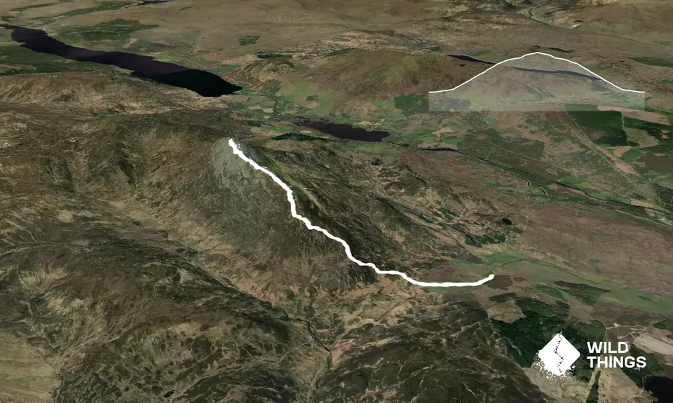
Start at the Braes of Foss carpark. You can't really go wrong on the very well made "new path" (2001) for the first 4km or so. The last 1.25km to the summit is over increasingly technical quartzite boulderfield.
A last easy few scrambling steps and you're rewarded by views over Loch Rannoch all the way over Rannoch Moor.
Back down the way you came, now able to appreciate the views over Loch Tummel.
Don't stray too far off the trail or you might stumble upon the entrance to the underworld that legend has is sited on the mountain.
Incredible views Native flora and fauna Local history and legend
Yes
No public transport. Fee for parking.
27 km
Yes
Moderate.
Very easy for the first 4km. The boulderfield has a well worn trail but no markings, it could be challenging in low visibility or in snow. Prepare for rapidly changing conditions in Scotland. Always have a navigation option other than getting your phone out.
Within about 500m of the start there is a bridge over a burn. Other than that water is minimal along the way.
Weather changes very quickly in Scotland - be prepared for the clouds and wind to come in, there may be snow even in the middle of summer. This is a mountain route, so one for a good weather day, even though most of the route is on easy trail.
The boulderfield - mind those ankles!
The information provided is a guide only. Conditions, access and hazards can change, so use your own judgement and check current local information before heading out. Make sure the route or location is suitable for your experience, fitness and equipment, and check any access restrictions or permissions that may apply.
The Inn at Loch Tummel
Strathtummel
The view back to Schiehallion
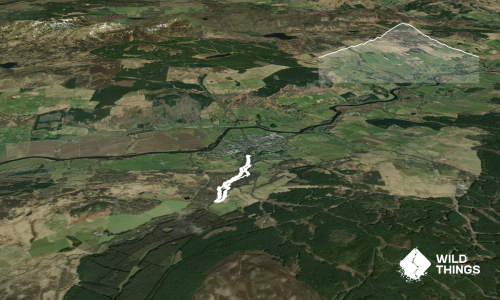
The Plaice To Be
Pitlochry
My childhood chippy, I can't not recommend it
Do you have another suggestion on where to go afterwards for the best coffee / cake / breakfast / brunch / beer?
We don't store or share your location; it's only used for these features. You can continue without it, just without distance sorting and live map features.
Send to your phone
Scan the below QR code to open this page on your phone.
Tip: position the QR code in your phone camera screen.