Last Updated: 21st Sep 2023

Intermediate

Save Trail Save

I've done it Done

Mangamate Loop

Murupara, Bay of Plenty

Submitted by Daniel Parkinson

Last Updated: 21st Sep 2023

Intermediate

Save Trail Save

I've done it Done

Open

Grunt Factor: 48 ?

Gnarl Factor: 32 ?

35.5km

700m

700m


Login as a VIP to see driving directions, distance and time.

Trail Map

Type of Run

Back country - remote

Loop

Undulating, small hills only

Native bush

Riverside

Run Makeup

70%
5%
25%

Easy Single Track

Moderate Single Track

Technical Single Track

Average Uphill Gradient: +5.8%

Average Downhill Gradient: -5.5%

Trailhead

Login as a VIP to see the trailhead information.

Estimated Times to Run

7:00

Slow

5:00

Moderate

4:00

Fast

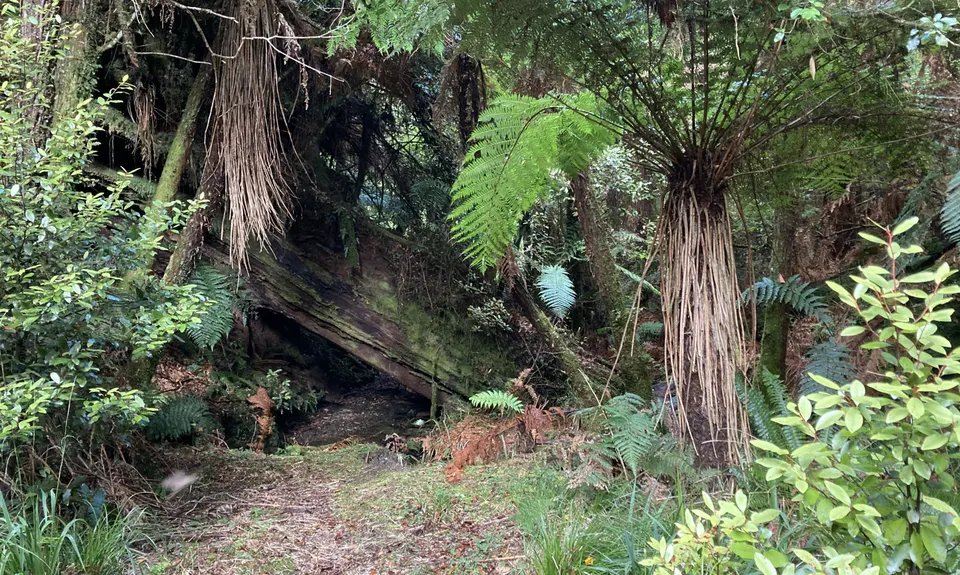
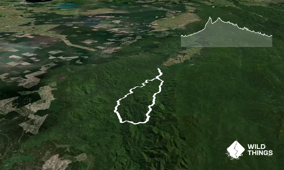
A brilliant loop. From the carpark, follow the signs to the Waterfall Loop track. At the first junction a km in, turn left and follow the signs for Central Whirinaki Hut. At the 4km mark after very easy, rolling trails (you will cross a bridge over the awesome Whirinaki Canyon), you'll cross a bridge and turn left, following the signs to Mangamate Hut. The track immediately deteriorates and you'll follow the stream for the next 5.5km, crossing it 30-40 times. It's very low normally, but be aware of conditions during wet periods. The stream is good fun to splash in on a hot summers day. There are some flat, easier sections in the bush to briefly break it up.

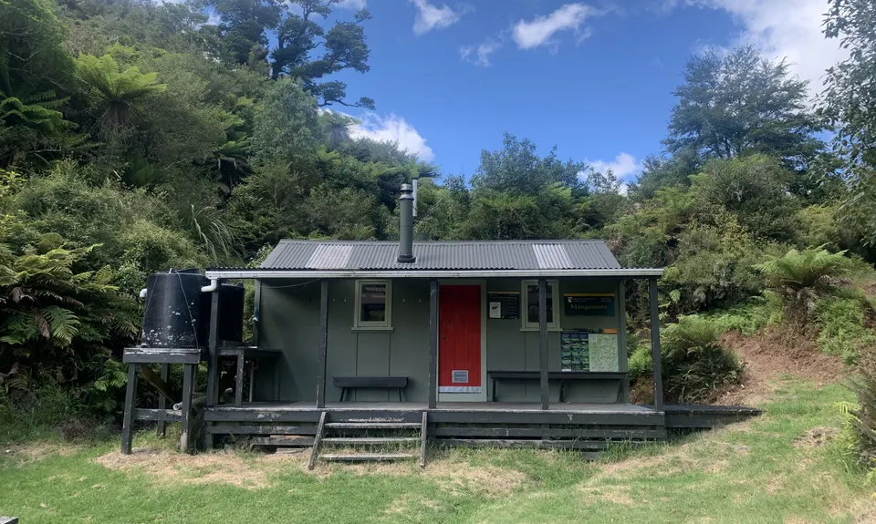
At around the 10km mark, you'll head up away from the stream, along a well-benched trail to arrive at Mangamate Hut at the 11km mark. From the hut, head down to the stream again, following it for 5km to a junction. Again, follow the signs to Central Whirinaki.

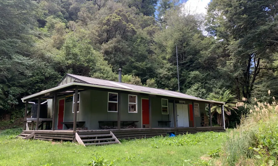
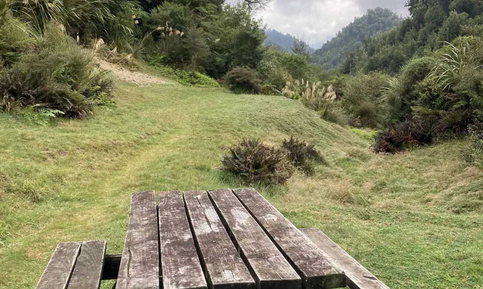
After another km in the stream, you pass a footbridge and the trail is much easier for the final 2km to Central Whirinaki Hut (19k mark). From Central Whirinaki the trail is almost to a Great Walk standard, and gently flows down alongside the river to the next junction pointing to the waterfall. Turn left to the waterfall, enjoy the view and then enjoy the final 5km back to the River Rd carpark.

Plenty of carparking.

Remove all valuables from your car as there are known issues in this area.

31 km

33 minutes

Unknown

No

Moderate.

Be aware of the markers in Mangamate Stream as you cross in and out of it.

Very patchy.

Short-sleeved thermal top, Seam-sealed waterproof jacket, Gloves, Beanie/thermal headwear, Personal Locator Beacon (PLB), First aid kit, Survival bag, Cellphone, Map

Plenty of beautiful water in the streams and at both huts.

Be aware after or during heavy rain, as 60+ stream crossings are required.

You and Mangamate Loop

As a VIP member you can record private notes for this trail, see all of your times and more.

Register Now

Already have an account? Login now

Trail Reviews

This is a fantastic day out, what a gem! The trail guide is excellent, would definitely not recommend after heavy rain or in bad weather. Be careful of the ongaonga as it made itself known to us in the first 20kms! You will get wet but there are good sections where you can get into a rhythm with a good 2.5km climb to the first hut.

If you wanted a shorter or easier route you could run in reverse as an out and back, the last 16kms are pristine trail. The river was full of Whio!

Laura Crossan

April 2, 2021

Login to submit a review

Trail Running Community

Find people who are interested in or have completed this trail run.

You must register or login to view this feature.

Register Now

Other trails nearby
Wet Feet

Wet Feet

Length: 20.1km

Level: Intermediate

Moerangi Meander

Moerangi Meander

Length: 34.1km

Level: Intermediate

Find more trails and peaks nearby