Last Updated: 5th Jun 2026
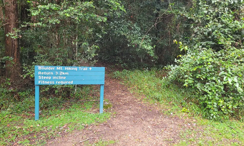
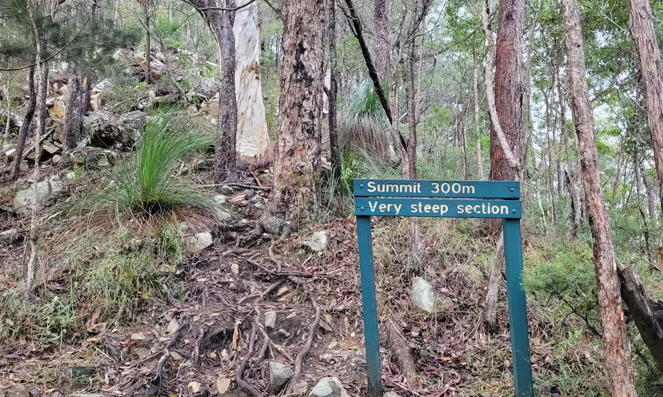
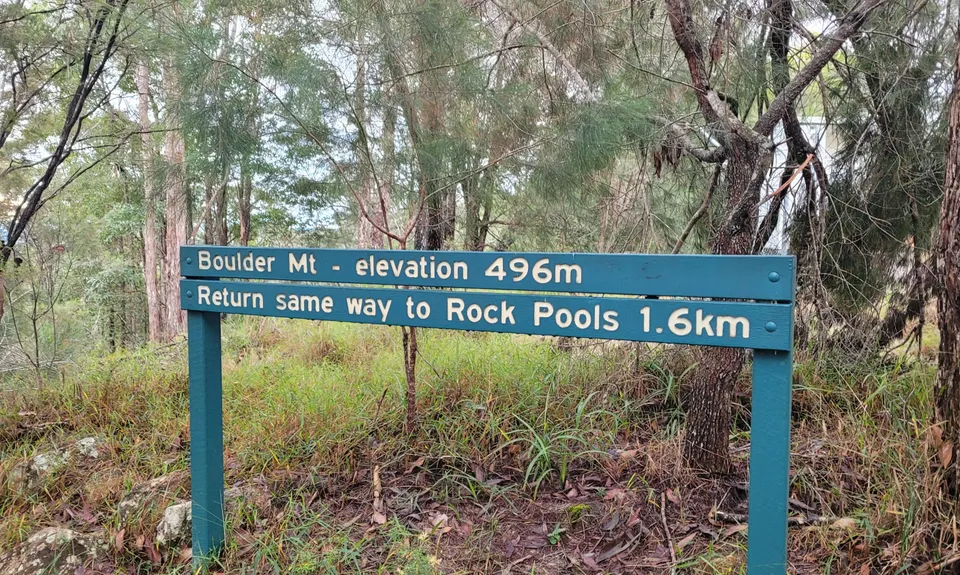
Mt Boulder Circuit
A steep climb to start and rolling descent to the finish
Last Updated: 5th Jun 2026
Open
Grunt Factor: 17 ?
Gnarl Factor: 21 ?
11.7km
590m
590m
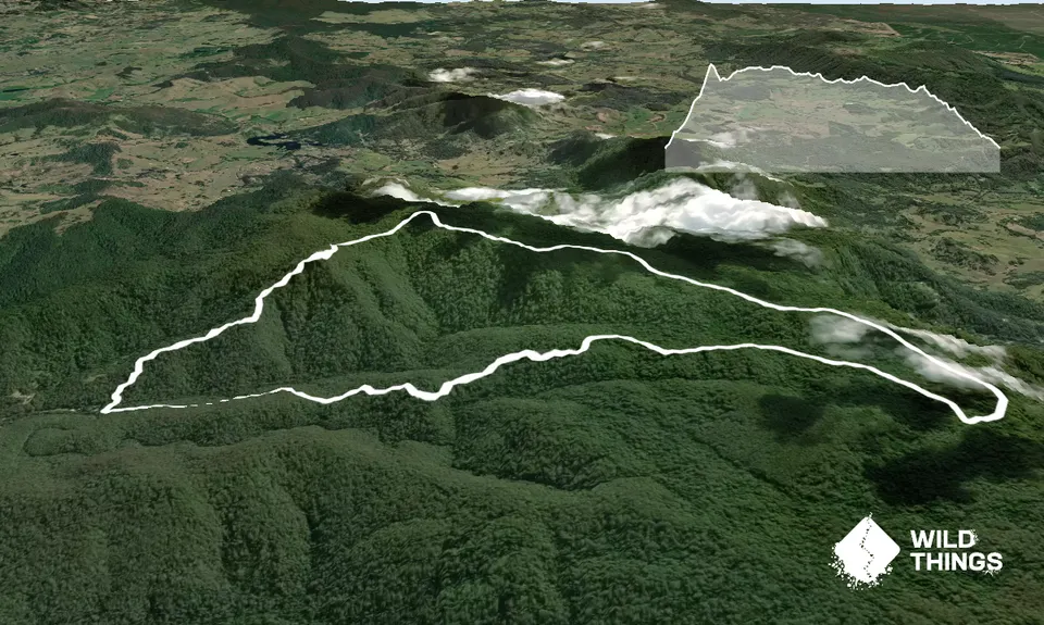
Trail Map
This Topo layer only covers NSW/ACT.
Switch to another map layer when viewing outside this area.
Switch to another map layer when viewing outside this area.


