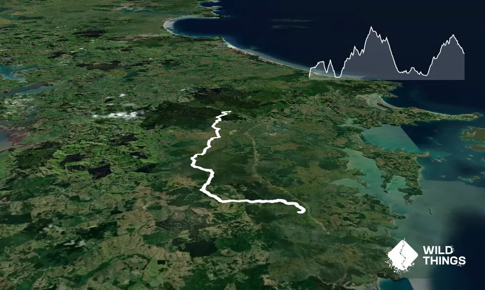
The trail is reasonably well marked with Te Araroa signs although in places can be tricky. These tricky spots are highlighted below.
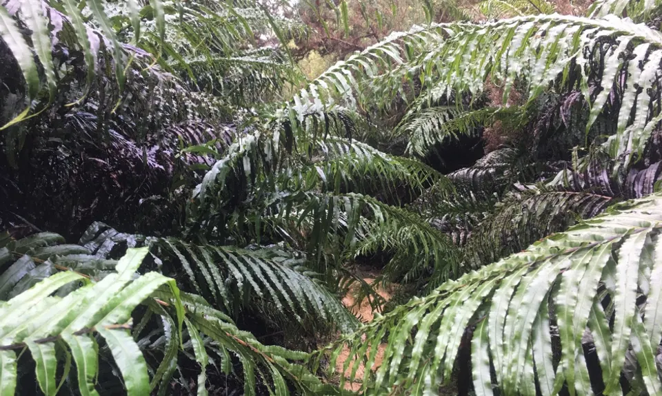
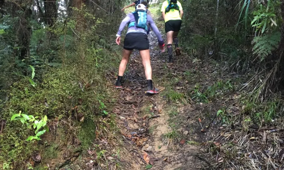
The run starts on a track just behind and to the left of the changing rooms at the back of the car park. There's a good steep section from the get-go to warm you up. The first section is 5km of well groomed trail through some native bush and a few pines. There are some ups and downs and a good number of stairs. This section finishes across a swing bridge.
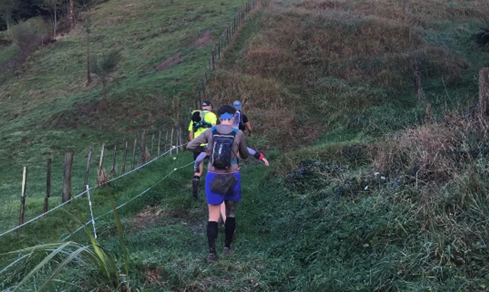
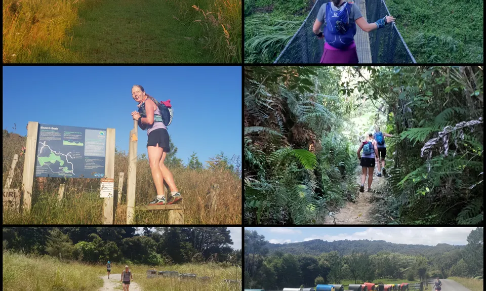
The next section follows the road opposite the swing bridge. Follow this for 1km and watch for trail markers on the left just across a bridge. Straight ahead is private property. The trail sharply ascends a grassy slope that can be slippery in wet conditions and high grass in summer. This part soon pops onto a farm road which you follow uphill and through a couple of farm gates (leave as you find them!) before hitting paddocks and entering Dunn Bush.
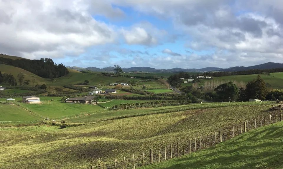
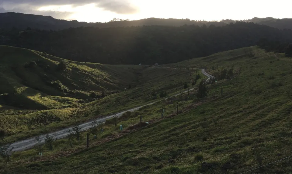
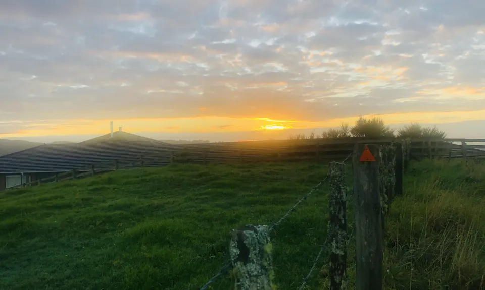
Spray your shoes at the scrub station. After Dunn Bush you pop out onto a sealed road (spray again). Turn right and follow the sealed road for about a kilometre to a road intersection. The trail continues straight across the intersection. Time for some 1.5km of uphill trail. Dry in summer slippery in winter. Turn left when you emerge from the bush. This is Moirs Road which heads uphill for a bit with some great views on the way. The road turns to gravel. There are a number of side roads so keep alert and watch for DoC orange triangles and/or Te Araroa signs. Basically keep straight-ish.
The road goes alongside some paddocks to start with then through some bush and then into pine forest territory. Much of this is felled to your right so keep that on you right side and don't take left turns. Soon you will get to a steep descent that ends at a barrier. Follow the main road a little to your left. Time for some road running, sorry. The road soon hits a major road called Woodcocks Road. Turn right. Be aware of cars as there isn't a lot of space on the verge. Before long there is a road on the left. Go that way. Follow the road until the end. There is a private driveway that the route follows so use the stiles if the gates are closed.
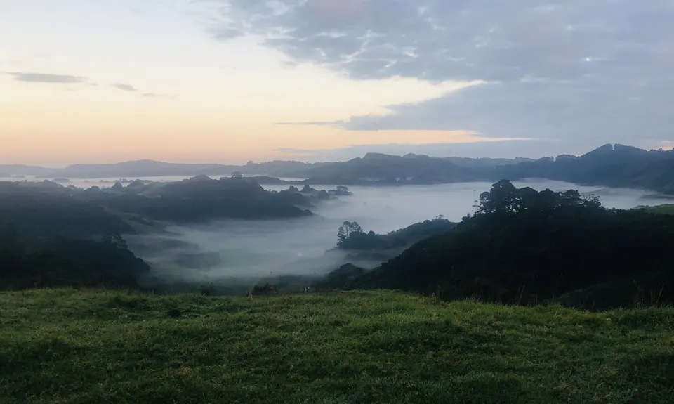
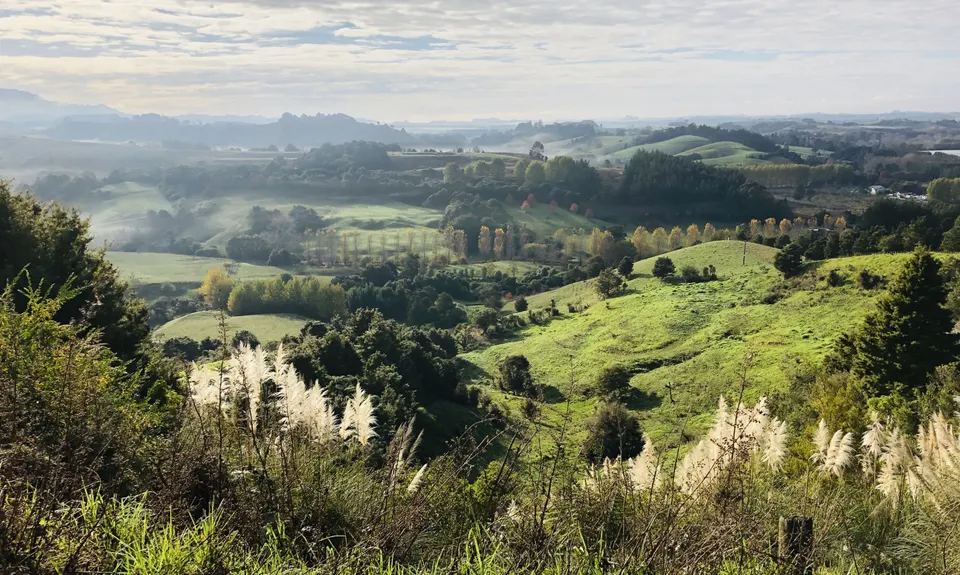
Shortly you will cross another stile onto grassy paddocks. There is a gate and a few more stiles. Keep to the path and don't disturb livestock. Soon you will hit another public road. Turn right. After less than a kilometre there is an intersection. Turn left. This isn't marked with a Te Araroa sign. Follow this road for another kilometre and turn right on to Kaipara Flats Road and almost immediately left onto a side road. You now get to enjoy 2km of uphill running. Stop gratefully when you see the DoC Smyth Bush Scenic Reserve sign on your right.
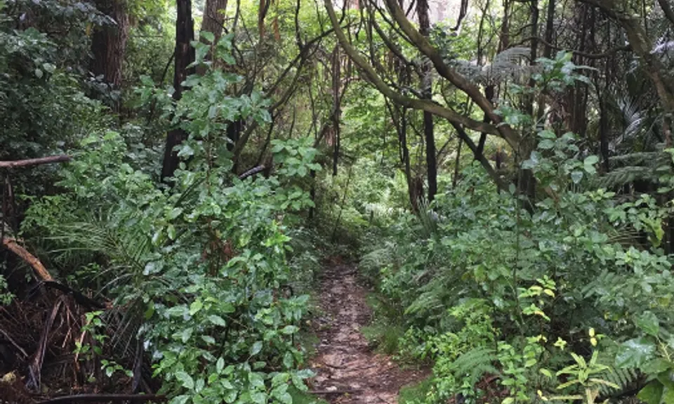
Last section! Enter the single track into Smyth Bush and follow the DoC markers. After about 1 kilometre you will hit some forestry roads. Follow the DoC orange triangles to the right and then each intersection head more or less straight. Quite a few undulations but eventually you reach a high point near a repeater tower. You will start heading down to the left on the gravel road. Not far now! The final bit is mostly downhill so if you have any energy left let yourself go and zoom down. Your destination is near but there is one more obstacle - State Highway 1. Visibility isn't great so cross with extreme care!The cafe, which was closed for quite time, is now open again and serving up some great post-run indulgence!