Last Updated: 5th Aug 2024
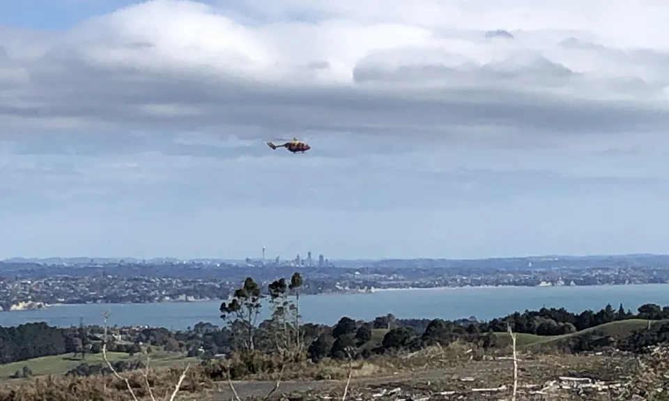
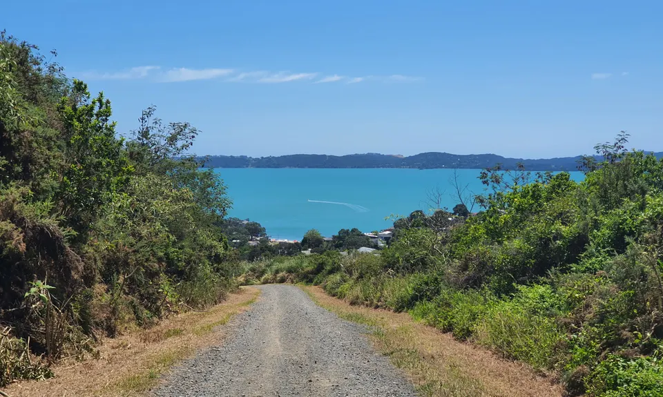
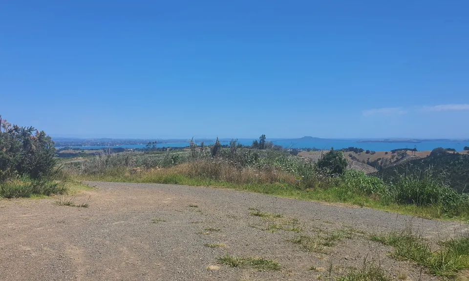
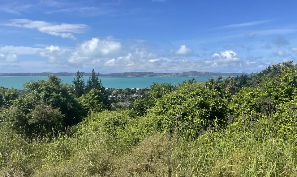
Not my left eye, it's Maraetai!
Last Updated: 5th Aug 2024
Grunt Factor: 13 ?
Gnarl Factor: 26 ?
10.0km
360m
360m
204m
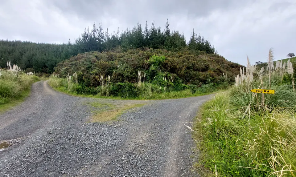
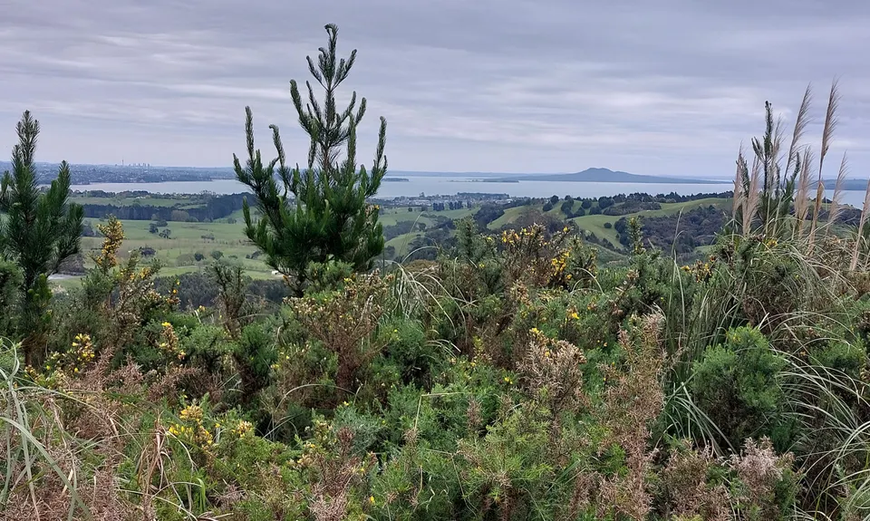
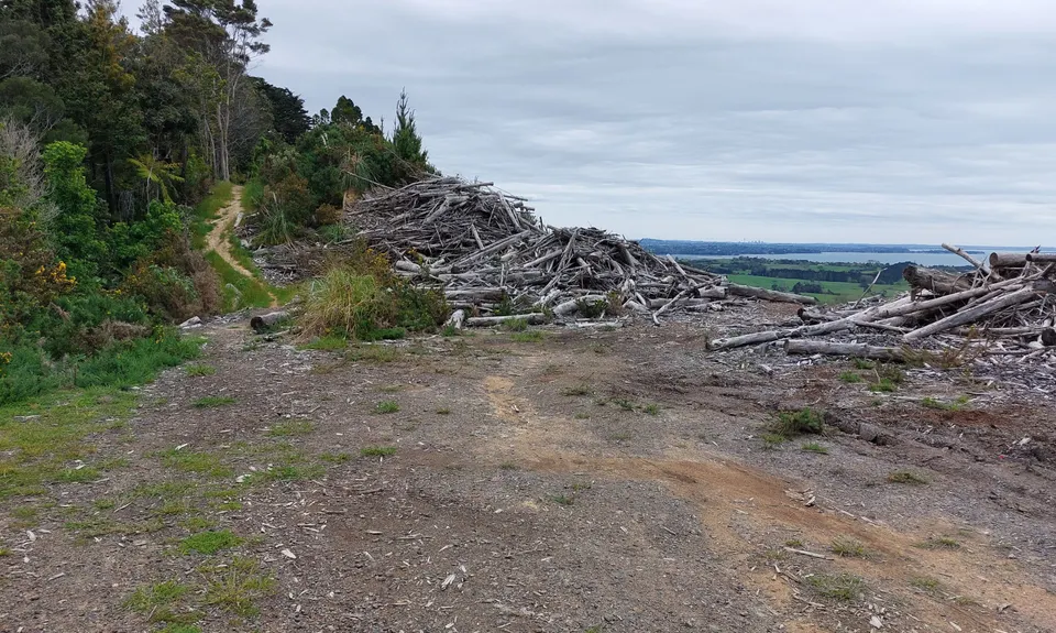
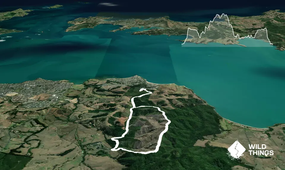
Trail Map
This Topo layer only covers NSW/ACT.
Switch to another map layer when viewing outside this area.
Switch to another map layer when viewing outside this area.


