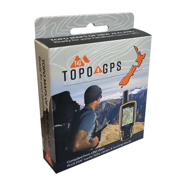
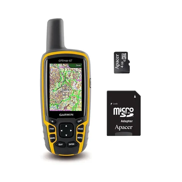
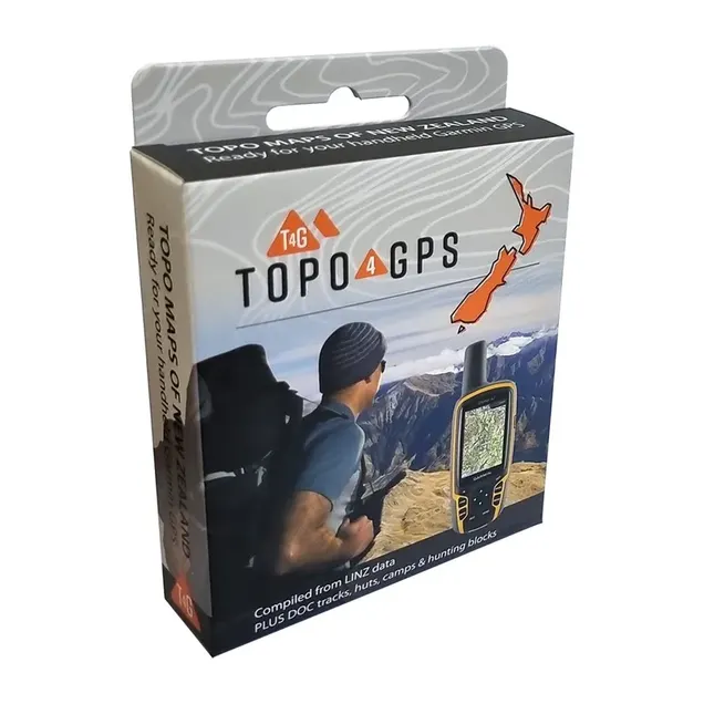
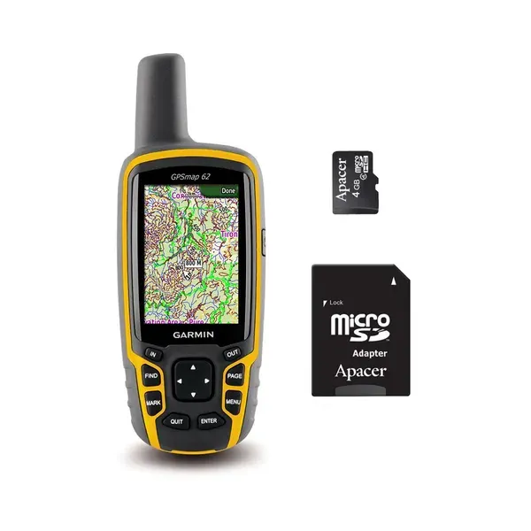
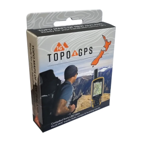
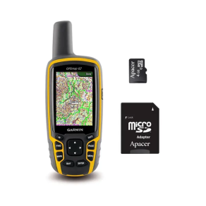
Give your map-capable Garmin GPS a proper New Zealand topo upgrade. Topo4GPS NZ Topo Maps provide detailed vector topographical mapping across New Zealand, supplied pre-loaded on a microSD card ready to use with compatible Garmin GPS units.
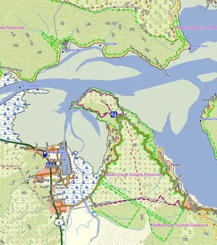
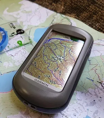
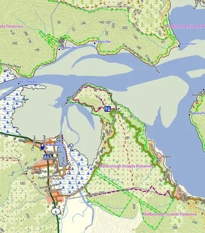
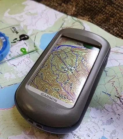
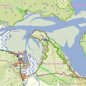
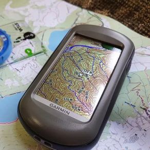
The mapping provides detail equivalent to 1:50,000 scale topo maps, including tracks, huts, 20 metre contours, waterways, lakes, ground cover, fence lines, shelter belts, roads, railways and buildings — plenty of useful information whether you're tramping, hunting, fishing or simply exploring somewhere new.
This NZ Hunter edition also includes Department of Conservation (DOC) hunting block boundaries, helping you check your position against permitted hunting areas while you're out in the field. DOC information is also used to highlight confirmed and maintained tracks, huts, campsites and other useful features.
There's plenty of searchable information too, including place names, roads, accommodation, topographic features and transport facilities, along with nearby points of interest such as fuel, food, ATMs, hospitals and huts.
Simply pop the microSD card into a compatible map-capable Garmin GPS and you're ready to go.