Last Updated: 2nd Oct 2026

I've done it Done

Save Peak Save

Ben Lomond

The mountain that inspired the Paramount Pictures logo

Last Updated: 2nd Oct 2026

I've done it Done

Save Peak Save

No known access issues

Proudly supported by Rab - The Mountain People

Straightforward

Little or no technical difficulty or exposure

2,961m


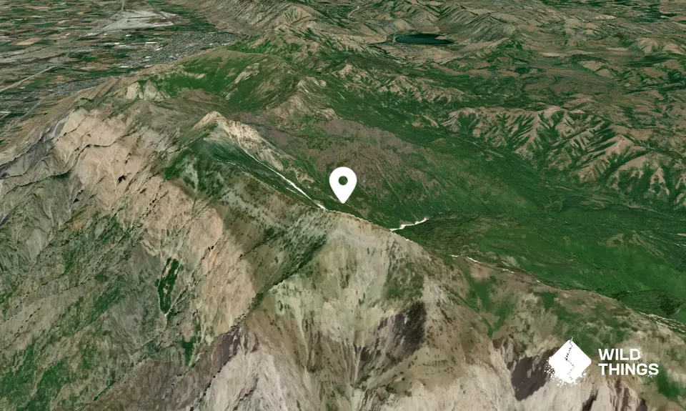
41.36320, -111.96076

Peak Map

This Topo layer only covers NSW/ACT.
Switch to another map layer when viewing outside this area.

Peak Notes

Tips and tricks regarding route choice etc. Feel free to submit brief trip notes of your own to share with others.

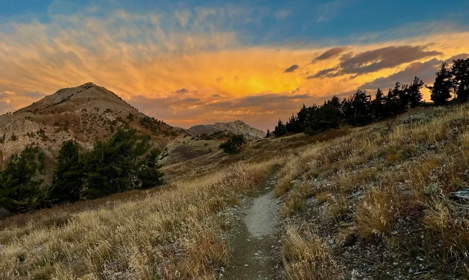
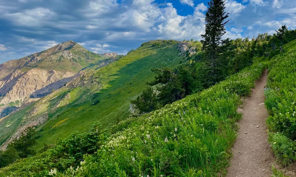
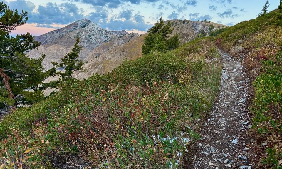
There are multiple routes, but the three main ones are the North Skyline Trail starting at the North Ogden Divide, The Ben Lomond Trail in North Fork Park starting at the Horse Corrals at the Loop B Campground, and the Cutler Basin Trail in North Fork Park starting on Cutler Ridge.

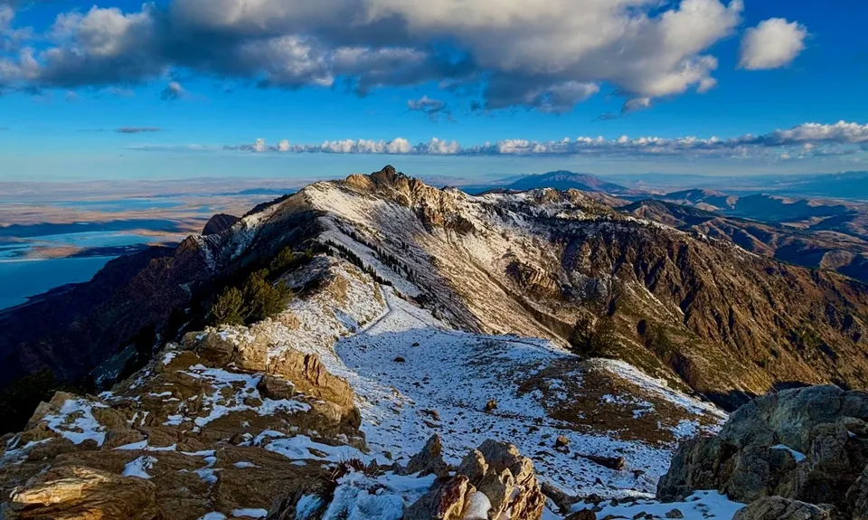
The North Ogden Divide is the most popular route and gets a lot of traffic from mountain bikes and motorized dirt bikes. It is 25 km round trip trail (with just shy of 1100 m of elevation gain) that climbs steadily at a 9-10% grade for the first 7 km before leveling out to a 4-5% grade for the next 3.5 km to the Saddle where the other main trails meet. From the saddle the trail becomes steeper, climbing a series of switchback to the peak. In the spring and early summer, many of the switchback and snow can be bypassed by cutting over to the ridge after the first 6 switchbacks.

The Ben Lomond Trail starts on the Northeast side of Ben Lomond and is 24 km round trip (with just over 1200 m of elevation gain). It climbs at around a 10% grade for 9.5 km to the Ben Lomond Saddle, and then follows the previously described route to the peak.

The Cutler Basin Trail also starts on the Northeast side of Ben Lomond, about 3 km north of the Ben Lomond Trailhead. It is the shortest of the main routes (15 km roundtrip), but also the steepest (just over 1100 m of elevation gain). It climbs steadily at around a 17% grade for 5 km to the Saddle and then follows the previously described route to the peak.

The North Fork Trails get less traffic than the Skyline Trail (particularly the Cutler Basin Trail), and it is common to see moose in this area. The two trails can be connected at the bottom with the connector trail, Mule's Ear Trail, or Mule's Shoe Trail.

Josh Coon

September 17

Login to submit a trip note

Peak Legend

No VIP members have bagged Ben Lomond in the last 12 months. Be the first!

Login as a VIP to become a Peak Legend. Learn about Peak Legends.

You and Ben Lomond

As a VIP member you can record private notes for this peak, see when you've bagged it and more.

Register Now

Already have an account? Login now

Trail Running Community

Find people who are interested in or have completed this peak.

You must register or login to view this feature.

Register Now

Other peaks nearby

Wild Things
Wild Things
Explore more

Plan smarter, stay motivated, track your progress, and unlock the full Wild Things experience — while saving along the way.