Last Updated: 5th Oct 2023
Mt Dumblane
Submitted by Fiona Stechmann
Last Updated: 5th Oct 2023
Open
Grunt Factor: 38 ?
Gnarl Factor: 62 ?
15.0km
950m
950m
1300m

Last Updated: 5th Oct 2023
Submitted by Fiona Stechmann
Last Updated: 5th Oct 2023
Open
Grunt Factor: 38 ?
Gnarl Factor: 62 ?
15.0km
950m
950m
1300m
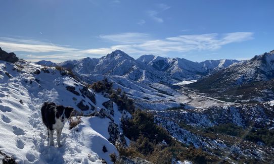
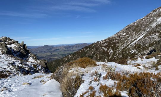
Back country - remote
Out and Back
Very hilly
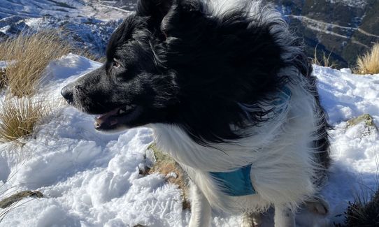
Dog Friendly
Native bush
Plantation/exotic forest
Open tussock/grasslands
Open ridges/tops
Gravel Road
Farm Road / 4WD Track
Technical Single Track
Average Uphill Gradient: +11.9%
Average Downhill Gradient: -11.6%
Login as a VIP to see the trailhead information.
3:45
Slow
2:40
Moderate
1:45
Fast
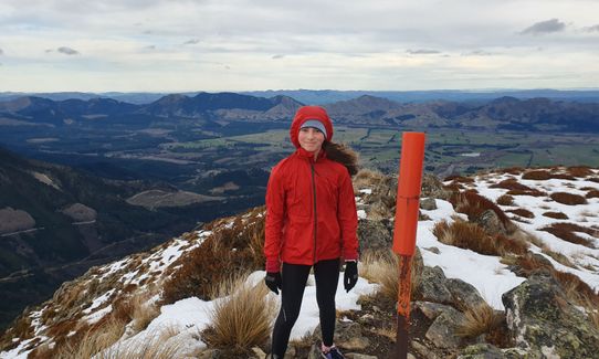
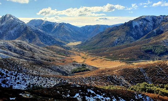
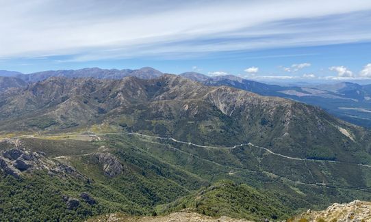
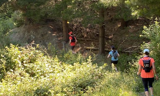
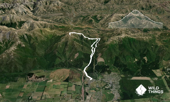
Starting from the end of Chattertons Rd, head up the gravel road for around 1.5 km until you see the sign on the left for the Chattertons River Track. Follow the track as it climbs up toward Jacks Pass. There is only one spot where there are two ways to go and if you keep to the left you will stay climbing. Once you reach the height of Jacks Pass, instead of heading right to the road turn left and follow the orange markers up the hill.
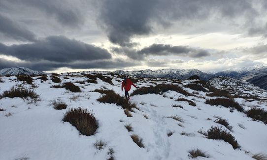
Be careful here to keep an eye on the next orange marker as it can be very easy to lose the track through the scrub. Continue following the markers up the spur and then tending to the left until you join the final ridge line to the summit. From here drop back down the same way, again being sure to keep a good eye on the markers and then choose if you want to go back down the river track or down the Jacks Pass Track that is a bit more open and slightly less rough under foot.
This trail includes the peak Dumblane.
Parking is fairly safe and easily available along the side of the road.
3 km
5 minutes
Yes
No
Moderate.
Make sure to know where the next orange marker is on the spur and ridge up towards Mt Dunblane. This trail could be hard to follow in low cloud or fog.
Very patchy.
Thermal leggings, Lightweight fleece top, Seam-sealed waterproof jacket, Gloves, Beanie/thermal headwear, Personal Locator Beacon (PLB), Whistle, First aid kit, Extra food for emergencies, Cellphone, Map, Crampons / microspikes (for winter conditions)
Water in the river on the river track but none on the tops.
The tops are very exposed with little shelter available. Highly likely to be snow in winter.
Trail Legend
Fastest Known Times (FKTs)
You and Mt Dumblane
As a VIP member you can record private notes for this trail, see all of your times and more.
Already have an account? Login now
Great run with amazing views at the top. The first 5k is up through the trees which is a really nice running trail then it’s out into the open and up, up, up! There’s a good track all the way which is really well marked and easy to find. If I were doing it again I would start at Chattertons River Track and avoid the boring Kms along the road.
December 6, 2020
Nice challenging warm up run, up Chattertons track through nice bush before making an attempt at the summit. It can be pretty exposed in the higher parts so take plenty of warm gear.
July 5, 2020
These overlap with this trail to some degree. You may wish to combine them but please note that to qualify for FKTs on these runs you should record a separate activity for each.
The Wild Things Trail Directory is proudly supported by 
Send to your phone
Scan the below QR code to open this trail on your phone.

Tip: position the QR code in your phone camera screen.


