Last Updated: 1st Jan 2024
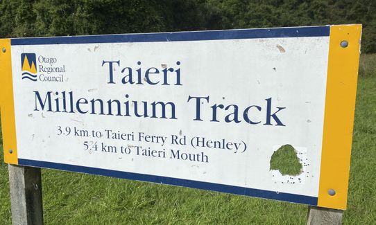
Taieri Mouth Millenium Trail
Last Updated: 1st Jan 2024
Open
Grunt Factor: 22 ?
Gnarl Factor: 39 ?
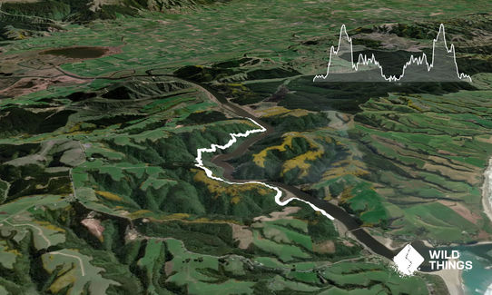
14.6km
600m
600m
200m
Last Updated: 1st Jan 2024
Last Updated: 1st Jan 2024
Open
Grunt Factor: 22 ?
Gnarl Factor: 39 ?
14.6km
600m
600m
200m
Front country - easily accessible
Out and Back
Undulating, some big hills
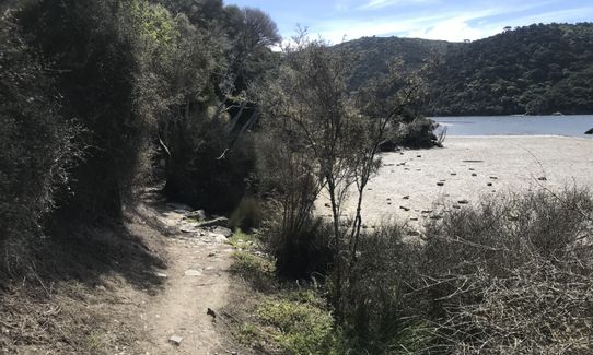
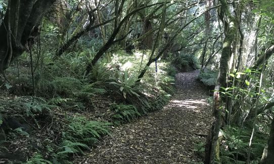
Native bush
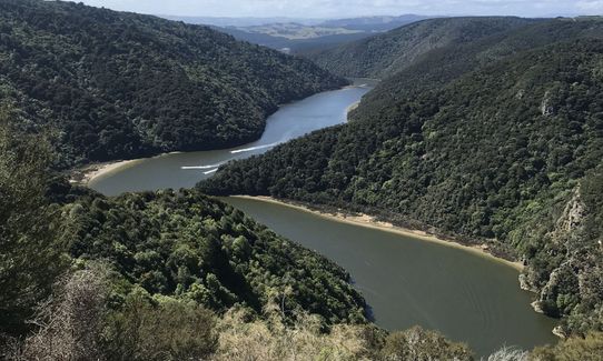
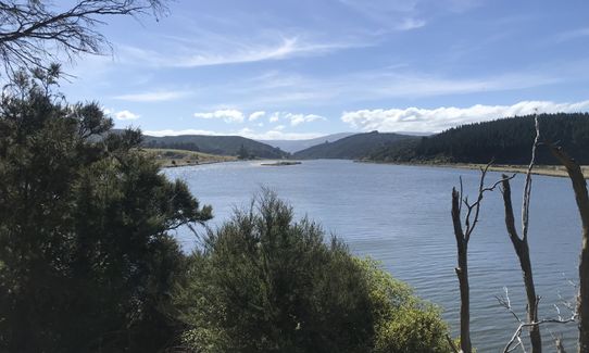
Riverside
Easy Single Track
Moderate Single Track
Technical Single Track
Average Uphill Gradient: +12.6%
Average Downhill Gradient: -12.6%
Login as a VIP to see the trailhead information.
3:00
Slow
2:15
Moderate
1:30
Fast
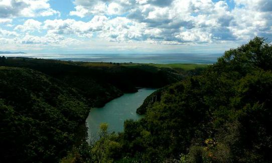
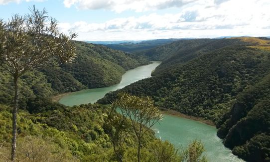
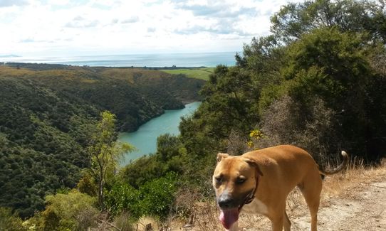
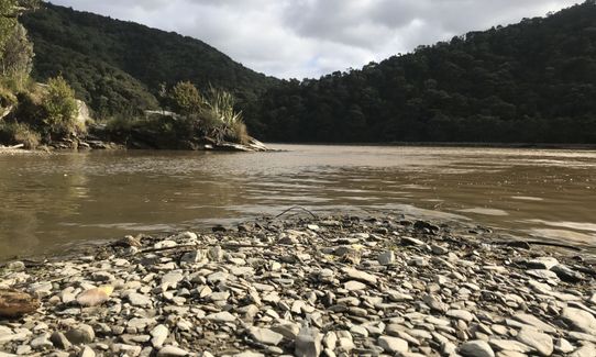
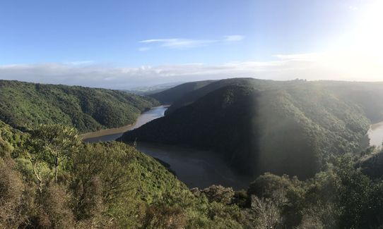
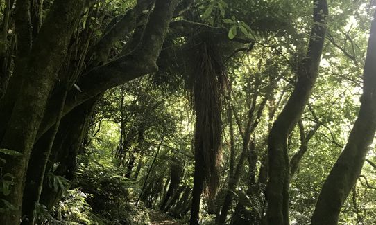
This is a great hill training run through native bush following the course of the Taieri River from the river mouth to Henley. Some stunning scenery and great birdlife.
It's relatively sheltered from the bad weather so a nice trail run in Sou'westerles.
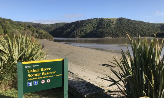
Parking is at end of road.
35 km
33 minutes
Unknown
No
Easy.
It's a very clear track.
Patchy.
Long-sleeved thermal top, Gloves, Beanie/thermal headwear, Whistle, First aid kit, Extra food for emergencies, Cellphone
There's a creek about half way along (4km and 11km). I have drunk it without ill effects. The dog loves it. Try at your own risk.
Can be very muddy in parts but always passable. Sometimes some tree fall.
Trail Legend
Fastest Known Times (FKTs)
You and Taieri Mouth Millenium Trail
As a VIP member you can record private notes for this trail, see all of your times and more.
Already have an account? Login now
Completed this trail after big rains so had quite a bit of mud and some slippery bits. Nice hills to get the heart pumping.
January 8, 2021
Really nice bush track with a surprising amount of elevation. I ran it in reverse as easier to get to with a 4WD. Lots of flooding recently so the river was high and track quite muddy. But a very enjoyable morning run!
January 8, 2021
The Wild Things Trail Directory is proudly supported by 
Send to your phone
Scan the below QR code to open this trail on your phone.

Tip: position the QR code in your phone camera screen.


