Last Updated: 25th Sep 2026

Intermediate

Save Trail Save

I've done it Done

Raad ny Foillan - Niarbyl to Port Erin

Pure coastal path beauty.

Submitted by Rob Bathgate

Last Updated: 25th Sep 2026

Intermediate

Save Trail Save

I've done it Done

Open

Grunt Factor: 35 ?

Gnarl Factor: 53 ?

15.7km

1380m

1400m


Become a VIP to see driving directions, distance and time.

Trail Map

This Topo layer only covers NSW/ACT.
Switch to another map layer when viewing outside this area.

Type of Run

Front country - easily accessible

Point to Point (one way)

Very hilly

Beach

Coastal

Open farmlands

Open ridges/tops

Run Makeup

2%
3%
5%
30%
30%
30%

Sealed Road

Gravel / Boardwalk

Farm Road / 4WD Track

Easy Single Track

Moderate Single Track

Technical Single Track

Average Uphill Gradient: +17.40%

Average Downhill Gradient: -17.70%

Garmin Course

VIP Feature: Send this route to your Garmin account so you can follow the course on your Garmin device.

Send to Garmin

Learn about sending to Garmin.

Trailhead

Become a VIP Member to see the trailhead information.

Estimated Times to Run

4:00

Slow

2:30

Moderate

1:45

Fast

We are eager to expand our Trail Running Directory in the UK and Ireland. Submit a trail and earn a free month of VIP.

Submit a new trail now

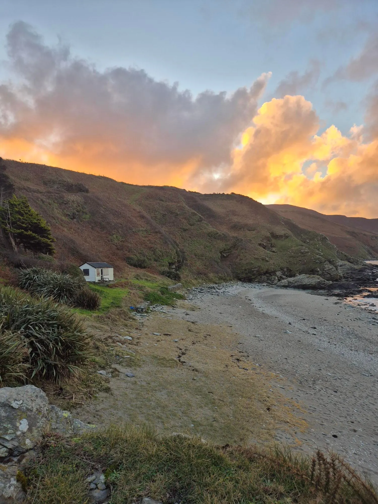
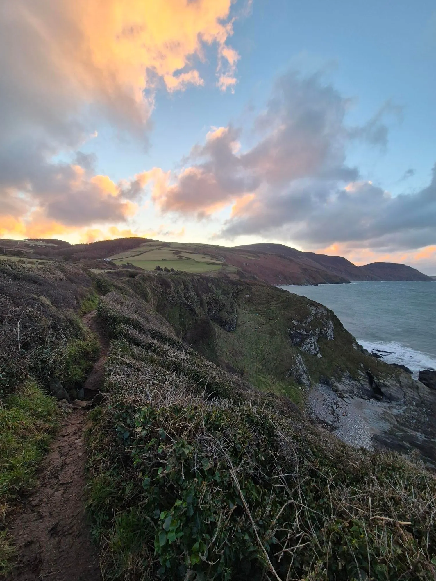
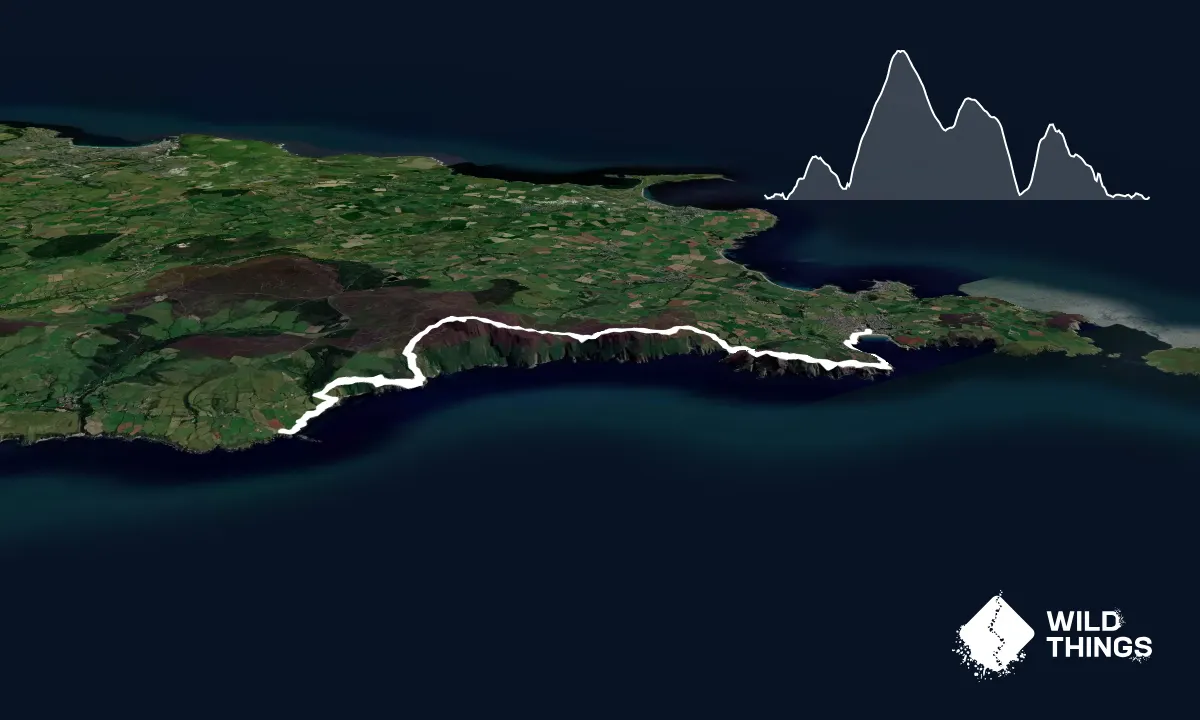
This is a section of the full Raad ny Foillan, starting from Niarbyl, head south along the coastal path, following this on the ups and downs along the coast. Aftrer about 1.3km (just under a mile), the track heads inland slightly, before then turning a sharp right at a farm cottage, and up a rough gravel track.

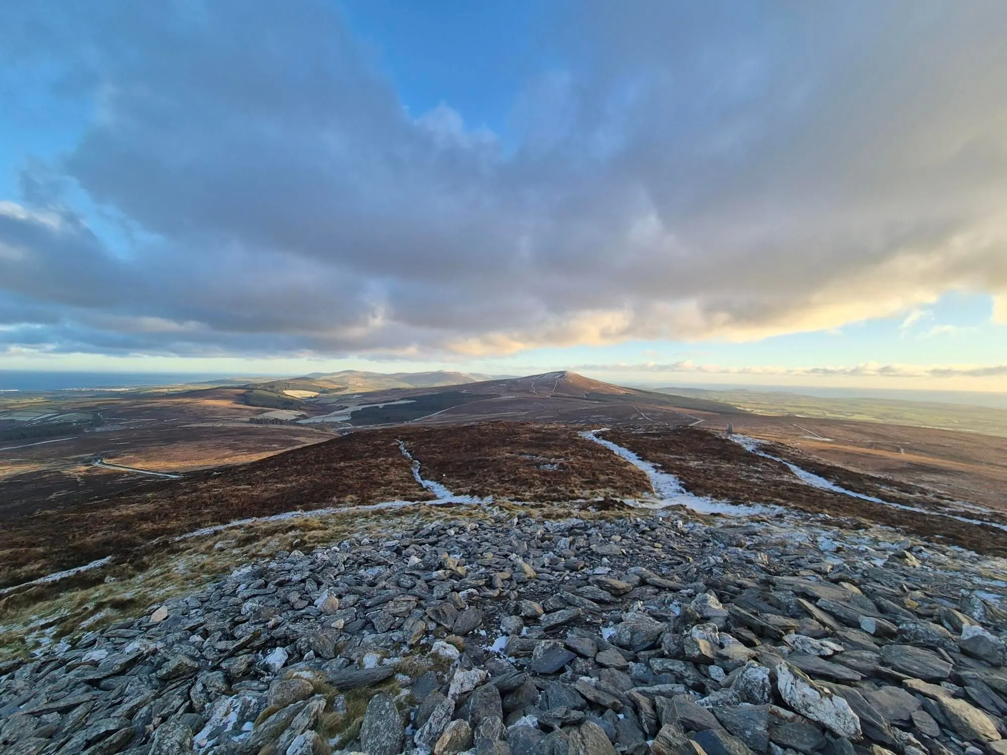
Soon you'll bear right again and head downhill back alongside the coast, before a decent climb back up as you start the ascent of Cronk ny Arrey Laa.

From the summit, head straight up and over, down the southern slope to the Sloc carpark. From here, a fairly brutal blimb takes you up along the tops of Lhiattee ny Beinee before some awesome views as you descent down intto Fleshwick Bay.

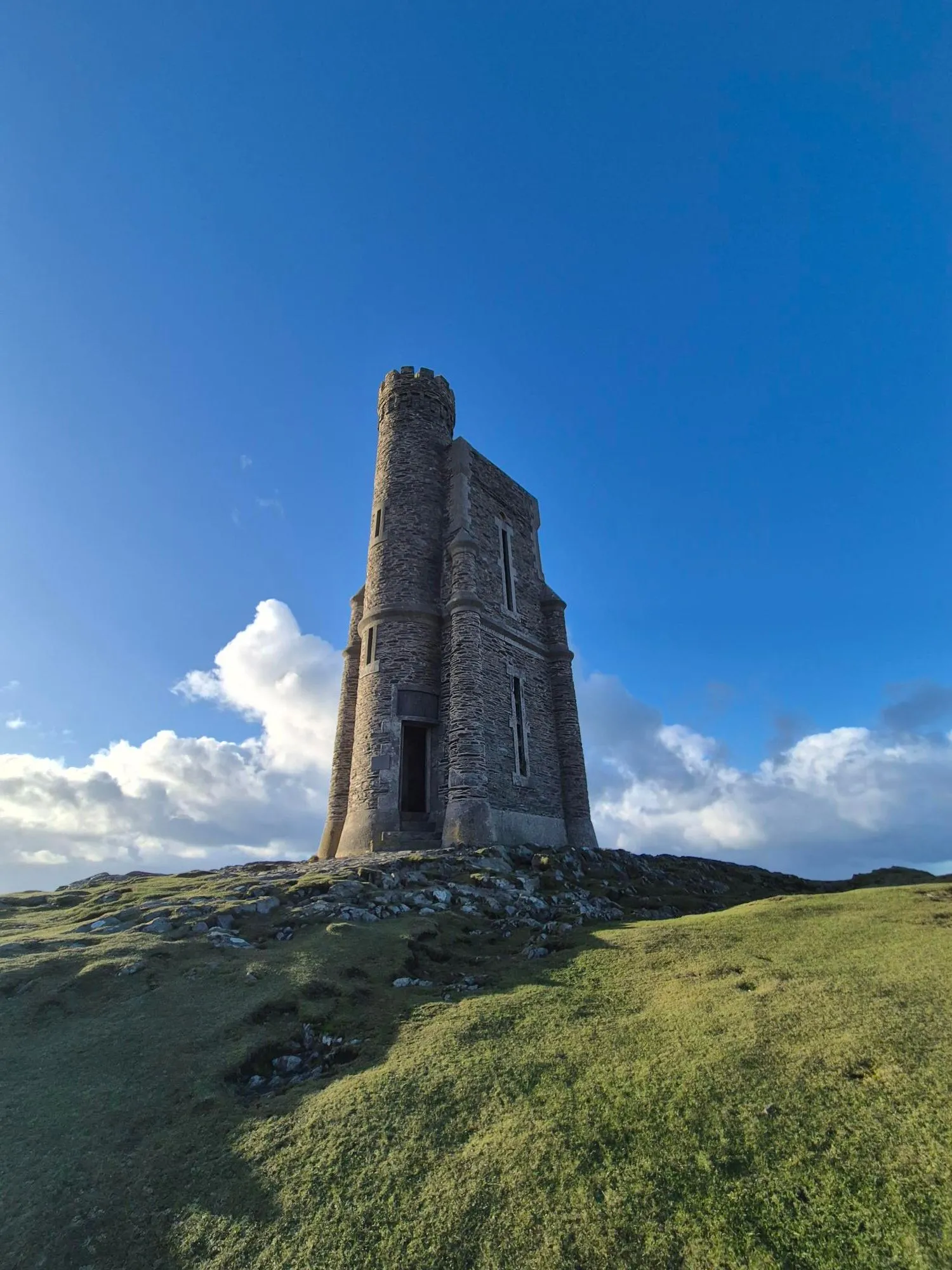
And then, after a few hundred metres up the road, it's another brutal climb up Bradda Hill / Cronk Vradda - the last one of the day before a beauiful steady rolling downhill towards Port Erin.

There are a few different paths once closer to Port Erin - this route sticks close to the bay, and then finishes at the train station.
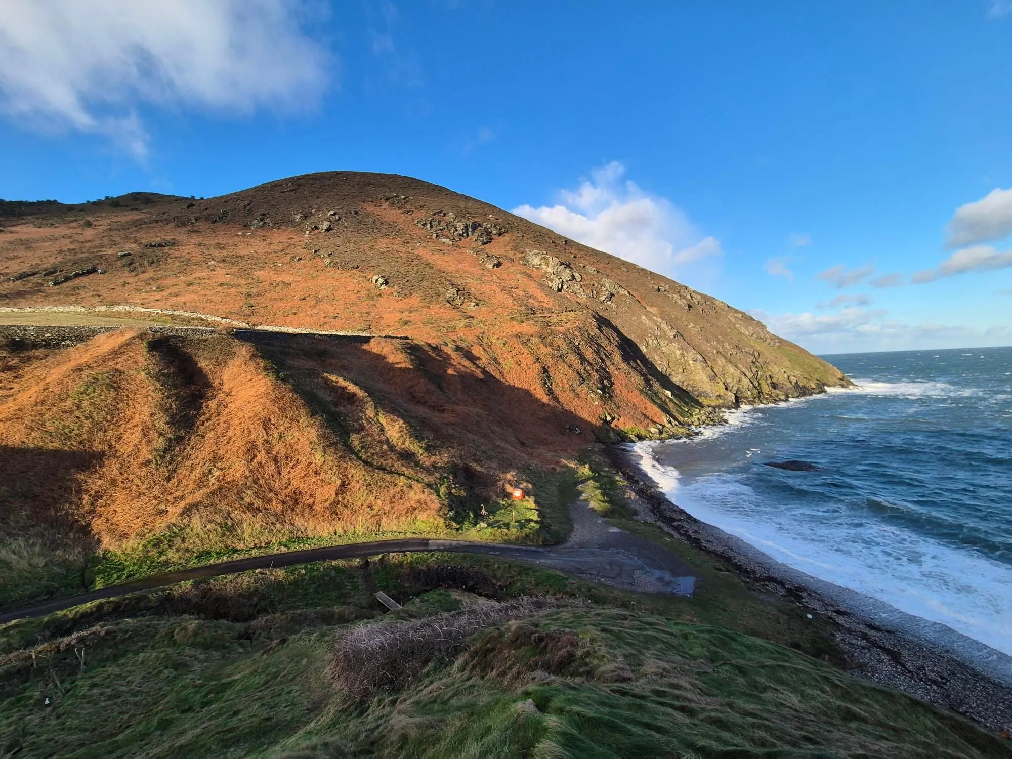
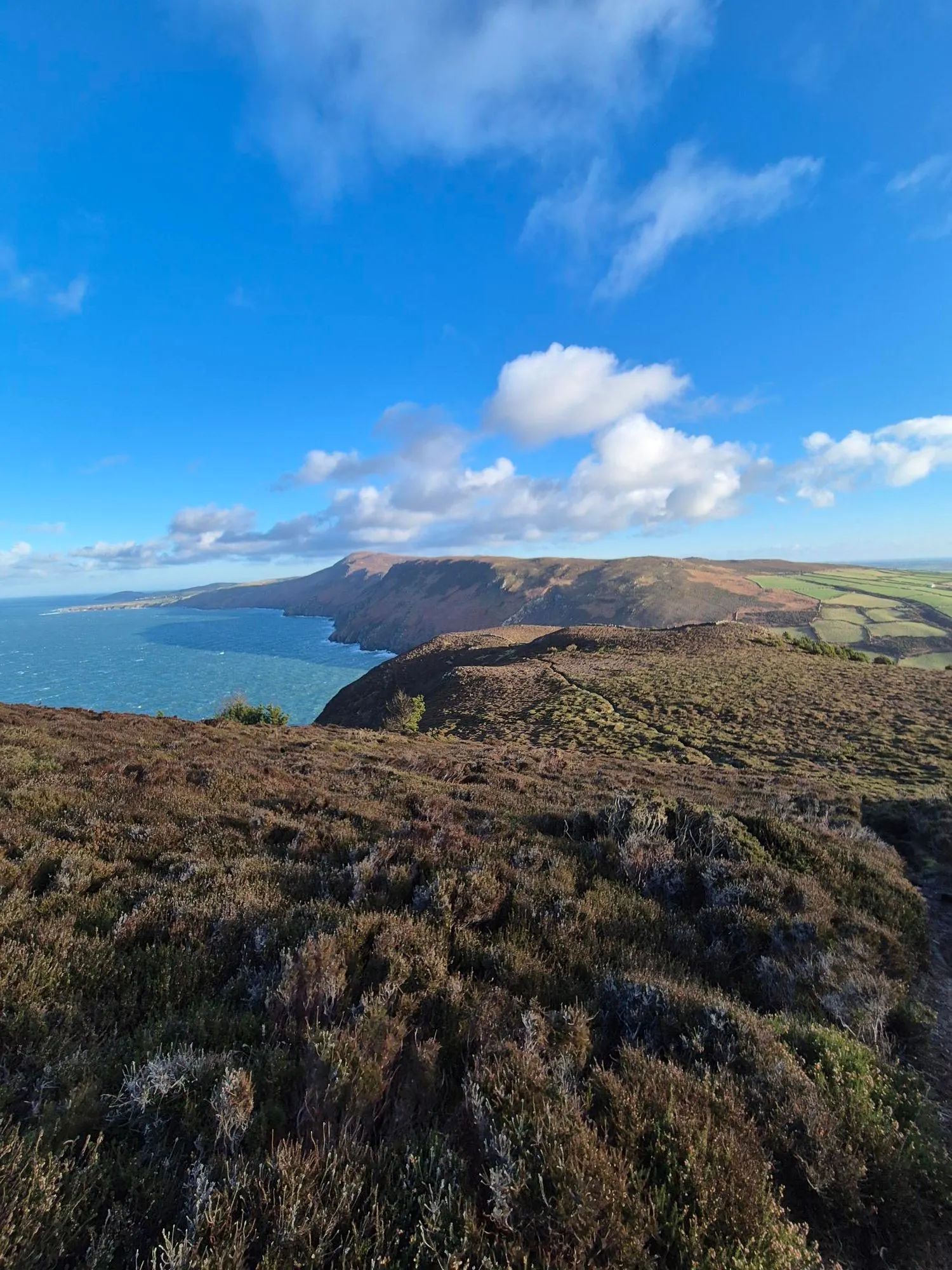
This trail includes the peaks Bradda Hill / Cronk Vradda and Cronk ny Arrey Laa.

Stunning views as you'd expect from a coastal path on the Isle of Man.

If you know of any public toilets near the trail start or on the route, please login and then let us know so we can update this section.

28 km

35 minutes

Unknown

Moderate.

Generally good.

Waterproof leggings, Thermal leggings, Long-sleeved thermal top, Seam-sealed waterproof jacket, Beanie/thermal headwear, Whistle, First aid kit, Extra food for emergencies, Survival blanket, Cellphone, Compass, Map

None on route - take plenty.

The information provided is a guide only. Conditions, access and hazards can change, so use your own judgement and check current local information before heading out. Make sure the route or location is suitable for your experience, fitness and equipment, and check any access restrictions or permissions that may apply.

Do you have a suggestion on where to go afterwards for the best coffee / cake / breakfast / brunch / beer?

You and Raad ny Foillan - Niarbyl to Port Erin

As a VIP member you can record private notes for this trail, see all of your times and more.

Become a Member

Already have an account? Login now

Trail Reviews

Be the first to submit a review for Raad ny Foillan - Niarbyl to Port Erin!

Login to submit a review

Trail Running Community

Find people who are interested in or have completed this trail run.

You must register or login to view this feature.

Register Now

Other trails nearby
Windy Fells

Windy Fells

Length: 11.6km

Level: Beginner - Intermediate

Distance Away: 19.0km

Sulby High Road - Freoaghane and the Zig Zag

Sulby High Road - Freoaghane and the Zig Zag

Length: 16.8km

Level: Beginner - Intermediate

Distance Away: 22.8km

Sky Hill - Ohio Plantation loop

Sky Hill - Ohio Plantation loop

Length: 13.3km

Level: Beginner - Intermediate

Distance Away: 27.3km

Glen Auldyn to Snaefell Summit

Glen Auldyn to Snaefell Summit

Length: 19.8km

Level: Intermediate

Distance Away: 28.2km

Find more trails and peaks nearby

Wild Things
Wild Things
Explore more

Plan smarter, stay motivated, track your progress, and unlock the full Wild Things experience — while saving along the way.